Hike at a Glance
Max elevation: 1508m
Min elevation: 0m
Total Ascent: 6622m
Hike overview
The Tops to Myall Heritage Trail is a 203km walking track in the Hunter Region of New South Wales.
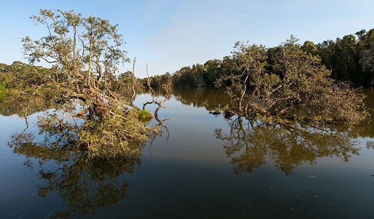
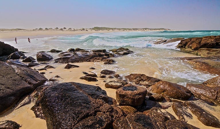
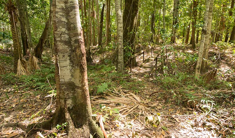
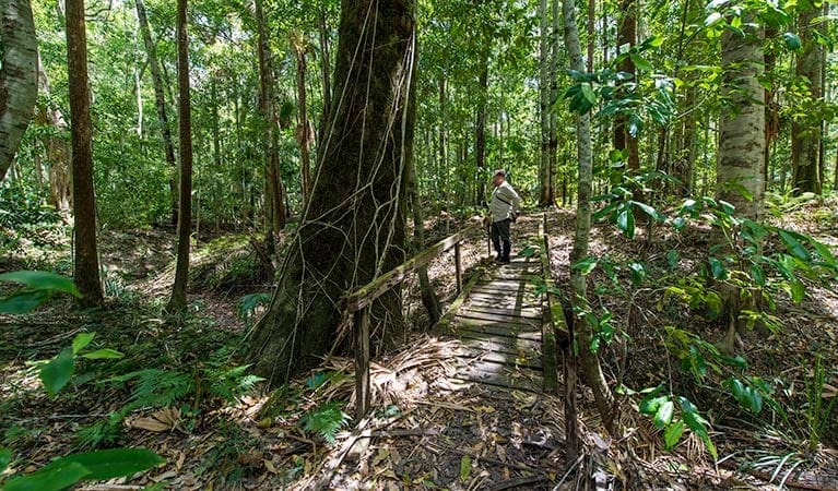
The track starts on the sub-alpine plateau on the crest of the Great Dividing Range in the Barrington Tops National Park and takes you through Snow gums and towering Antarctic beech forests before gradually descending in stages to the coast through extensive native state forests, coastal heaths and rainforest of the Myall Lakes National Park
The Tops to Myall Heritage Trail ends at the seaside town of Tea Gardens, a small township adjacent the northern head of Port Stephens. It is separated from Hawks Nest by the ever-widening mouth of the Myall River, which runs from the Myall Lakes and empties into Port Stephens.
Campsites
The Tops to Myall Heritage Trail has 10 designated campsites and takes 11 days to walk. The suggested itinerary is as follows (distances are approximate):
- Lagoon Pinch to Wombat Creek, 10 km
- Munro Hut (private hut - donation requested), 20 km
- Mountaineer (camp), 24 km
- Log Dump (camp), 28 km
- Wards River (in Craven State Forest), 28 km
- Little River Campsite, 25 km
- Shorty's Camp, 25 km
- Korseman's Landing, 27 km
- Bombah Point, 7 km (mornings walk), shops
- Brambles Green, 16 km
- Tea Gardens Foreshore, 22 km
Tips
- Opened in 1993, the Tops to Myall Heritage Trail has fallen has not been used often and has become somewhat difficult to follow. There has been some realignment of the original track due to land ownership and road development. Expect limited signage as funding has resulted in the decline of signage
- Tops to Myall Heritage Trail is rarely walked, so check the current status before setting off.
- The only guide book I could find is a 48 page one titled, 'A Walkers Guide to The Tops to Myalls Heritage Trail'. It does seem to be out of print but you might be able to find it online at through your library.
Gallery
Got some great shots from this hike? Upload your photos here to inspire others and show off the beauty of the trail!
Uploading your photos doesn’t mean you lose ownership. You can be credited for your contributions, and you can request removal at any time.
Content use
Please don’t copy GPX files or content from this site to AllTrails or other platforms. Each trail has been personally mapped, documented, and refined to support Australia’s bushwalking and hiking community. While some details come from land managers, every listing reflects significant personal effort. This is a free, community-driven initiative—your respect helps keep it that way.
Walk map and GPX file
Max elevation: 1508 m
Min elevation: 0 m
Total climbing: 6622 m
Total descent: -7304 m
Getting there
Getting to the trailhead: Hunter Valley Region.
The track is located about 264km north of Sydney and heads from the crest of the Great Dividing Range east to the coast. The eastern end of the track is close to the major highway from Sydney to Brisbane and is serviced by many buses. The western end has no regular defined services and either private transport is needed or charter a local bus. Another alternative to the western end is to stay the first night at a guest house near Barrington Tops and use the guests house bus to get to the walk start.
Lagoon Pinch picnic area is in the Lagoon Pinch to Williams River precinct of Barrington Tops National Park. To get there: Take Chichester Dam Road from Dungog for approximately 10km. Turn left into Salisbury Road. Continue on for approximately 40km, taking Williams Top Road, and follow the signs to the picnic area.
Tea Gardens is located 223 km north of Sydney via the Pacific Highway, 76 km north-east of Newcastle, 11 km from the Pacific Highway and 16 m above sea-level.
Closest towns to this walk: Branxton, Cessnock, Pokolbin, Rothbury, Singleton
About the region
The Hunter Valley, north of Sydney in New South Wales, is one of Australia's major wine regions, with a viticultural history dating back to the early 1800s. Known for varietals such as Semillon and Shiraz, it's home to numerous wineries, including world-renowned brands and family-run boutique operations. Most are located south of the Hunter River and offer cellar door wine tastings and vineyard tours.
Barrington Tops National Park
Immerse yourself in the World Heritage-listed Gondwana Rainforests of Barrington Tops National Park. Easy walks, overnight hikes, great picnic, fishing and camping spots await.
The rainforests of Barrington Tops National Park are of international significance; forming part of the Gondwana Rainforests of Australia World Heritage Area. Carved out of ancient volcanic flows, the park rises from near sea level to over 1500m and protects one of the largest temperate rainforests in mainland Australia, along with a host of diverse habitats and wide range of birds and animals.
The park is a bushwalker's paradise, with an excellent walking track network that includes short and easy walks to more difficult overnight hikes, with plenty of sites to set up a bush camp for the evening.
Myall Lakes National Park
Myall Lakes National Park, on the north coast not far from Newcastle, features one of the State's largest coastal lake systems that offers countless opportunities for canoeing and kayaking, boating and fishing. The park also boasts more than 40kms of beaches that offer some good swimming and surfing spots.
Similar walks nearby
Looking for more walks in or near Hunter Valley Region? Try these trails with a similar difficulty grade.
Track grade
Grade 5 (Difficult) - Walks for the Most Experienced: Grade 5 represents the most challenging walking tracks on the AWTGS. These are only recommended for very experienced and fit walkers with specialised skills, including navigation and emergency first aid. Tracks are likely to be very rough, very steep, and unmarked. Walks may be more than 20 kilometers. These challenging walks demand a high level of fitness and experience to navigate difficult terrain, significant elevation changes, and potentially unformed paths.
Explore safe
Plan ahead and hike safely! Carry enough water, pack layers for changing conditions, and bring safety gear like a torch, PLB, and reliable communication device. Check official sources for trail updates, closures, and access requirements, and review local weather and bushfire advice. Most importantly, share your plans with someone before you go. Being prepared makes for a safer and more enjoyable hike! Stay Safe, Explore More, and Always #ExploreSafe.
Packing checklists
What you carry in your pack depends on factors like weather, terrain, and your adventure type. Not sure what to bring? My free planning, food, and packing checklists are a great starting point, covering day hikes, overnight trips, and multi-day adventures. Use them to customise your kit and always prioritise safety.
Let someone know
Before heading out, take a moment to fill out your trip intentions form. It’s a quick way to share your hike details with family or friends. If something goes wrong, they can notify emergency services, ensuring a faster response and peace of mind. Stay safe and enjoy your adventure
Suggest an edit
Spotted a change on this trail? Maybe there are new features, the route has shifted, or the trail is permanently closed. Whatever the update, I’d love your input. Your feedback helps fellow hikers stay informed and ensures that our trail info stays fresh and reliable.
Acknowledgement of Country
Trail Hiking Australia acknowledges the Traditional Owners of the lands on which we hike and pay respects to their Elders, past and present, and we acknowledge the First Nations people of other communities who may be here today.


