Hike at a Glance
Max elevation: 1483m
Min elevation: 646m
Total Ascent: 2034m
6,450 views
Hike overview
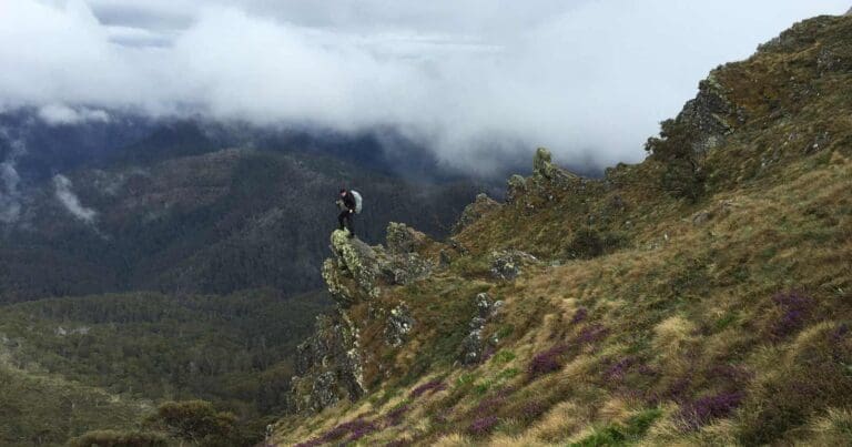
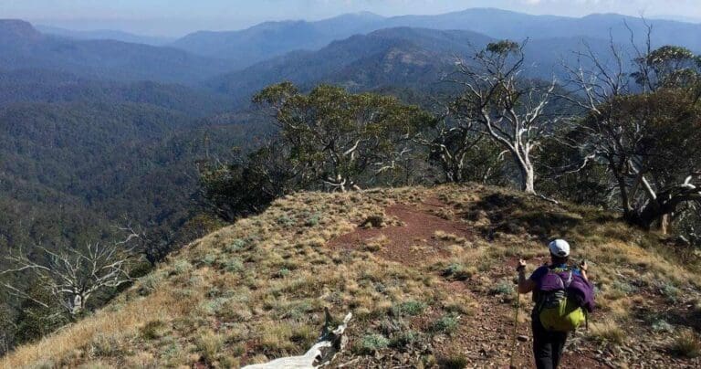
The The Viking and Blue Hills circuit takes you deep into the heart of the Razor - Viking Wilderness, a large area of remote rugged undisturbed land. There is no vehicle access into or within the Razor - Viking Wilderness. Likewise, there are no signposts or walking track markers. Here hikers will need to be well equipped, self reliant and experienced in navigation; and prepared to meet nature on its own terms.
The trail commences at Van Dammes Helipad at the end of East Riley Road (a 4WD recommended track that may be accessible by 2WD, check conditions). From the helipad head North West along Van Dammes Track for approximately 1.7km, turning left at the junction of the Australian Alpine Walking Track (Selwyn Track). After a further 500m you will pass Harry Shepherds Track on your right. Keep left at this point, continuing along the AAWT (Selwyn Track, West Buffalo Track) and continue west across the Barry Saddle towards the Viking.
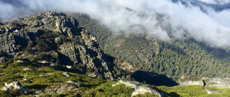
After approximately 7.8km you will reach the summit of the Viking and enjoy amazing views across the Wonangatta Valley to the south west. From the Viking you can continue to head north west for approximately 2km along the AAWT, down onto the Viking Saddle where there is an open saddle which is ideal for a campsite. There are a few gully heads near the saddle where you may search for water but it can be scarce at the best of times so don't rely on finding any. Water may also be found around the rocky formations on the Viking but again, don't rely on this. If you didn't want to descend to the Viking Saddle you may be able to find small sheltered camp sites between The Viking and South Viking.
If you camped on the Viking Saddle, return via the AAWT to the summit of The Viking. Heading south, pick your way over rocky outcrops towards the South Viking. On reaching, or before the summit, turn East and walk for approximately 2.5km and you will find yourself at the start of the Blue Hills Spur. From this point descend the spur for approximately 5.7km until it intersects with the Wonnangatta Track. Turn left at this point and follow the Wonnangatta track for 1.2km. Turn right at Rileys Track and follow Rileys Creek downstream until you locate a suitable campsite. You should be able to locate water in Rileys Creek but as with all sources in the Viking Wilderness do not rely on this.
Return to the junction of Rileys Creek and Wonnangatta Tracks and follow the Wonnangatta Track along its length to the Van Damme Helipad and your start point. This section is a gradual ascent and should be a welcome change of pace from the previous day.
Suggested Itinerary
Day 1 (Van Dammes Helipad to Saddle between The Viking and South Viking): 11.5km
Day 2 (Saddle to Rileys Creek): 13.2km
Day 3 (Rileys Creek to Van Dammes Helipad): 10.8km
Water Sources (not reliable)
Barry Saddle: Collect water from the water tank on the AAWT.
The Viking: Search in gullies on approach to the Viking as well as around rocky outcrops for pockets of water.
Rileys Creek: Approximately 1.9km south east from the Rileys Creek and Wonnangatta Track junctions. Water can be collected anywhere along Riley Creek including the Riley Creek Bridge (3.1km from Riley Creek campsite)
Warning
This walk is rated extremely difficult (Grade 5) and varies from well marked trails to lightly trekked wilderness. You will need to be fit, well prepared and possess excellent navigation skills. There is very little water along this trail so you will need to carry adequate supplies and have a thorough understanding of water procurement.
Map and GPX file
Max elevation: 1483 m
Min elevation: 646 m
Total climbing: 2034 m
Total descent: -2034 m
Getting there
Closest towns to this walk: Benalla, Bright, Dinner Plain, Falls Creek, Harrietville, Hotham Heights, Mansfield, Mitta Mitta, Mount Beauty, Mount Hotham, Myrtleford, Omeo, Porepunkah, Tawonga South, Wangaratta
Getting to the trailhead in Alpine National Park.376km, approximately 5.5hrs from Melbourne.
From Melbourne CBD, get on Citylink/State Route 43 in West Melbourne from Flinders St/State Route 30, Wurundjeri Way/State Route 55 and Footscray Rd/State Route 32. Take Hume Fwy/National Highway M31 to Snow Rd/C522 in Wangaratta South. Take the exit for C522 from Hume Fwy/National Highway M31. Continue on C522 to Myrtleford.
From Myrtleford head south west along the Buffalo River Road (C526) towards Lake Buffalo. Continue south along this road. Not far from Lake Buffalo, the Buffalo River Road becomes Abbeyard Road which twists and turns through the Alpine National Park before turning left onto East Buffalo Road. At this point the road condition deteriorates and a 4WD may be required. Follow the East Buffalo Road, then right onto East Riley Road. Continue along this road, past Riley Hut (a good camp site for your arrival night) to the Van Dammes Helipad and your start point. Total distance from Myrtleford to Van Dammes Helipad is approximately 90km and could take you approximately 2 hours depending on road conditions.
About the region
The Alpine National Park is a national park in the Central Highlands and Alpine regions of Victoria, Australia. The 646,000-hectare national park is located northeast of Melbourne. It is the largest National Park in Victoria, and covers much of the higher areas of the Great Dividing Range in Victoria, including Victoria's highest point, Mount Bogong at 1,986 metres and the associated subalpine woodland and grassland of the Bogong High Plains. The park's north-eastern boundary is along the border with New South Wales, where it abuts the Kosciuszko National Park.
Similar trails nearby
Looking for hikes and trails in Alpine National Park or nearby? Try these walks with a similar grade.
Track grade
Grade 5 (Difficult) - Walks for the Most Experienced: Grade 5 represents the most challenging walking tracks on the AWTGS. These are only recommended for very experienced and fit walkers with specialised skills, including navigation and emergency first aid. Tracks are likely to be very rough, very steep, and unmarked. Walks may be more than 20 kilometers. These challenging walks demand a high level of fitness and experience to navigate difficult terrain, significant elevation changes, and potentially unformed paths.
Explore safe
Plan ahead and hike safely! Carry enough water, pack layers for changing conditions, and bring safety gear like a torch, PLB, and reliable communication device. Check official sources for trail updates, closures, and access requirements, and review local weather and bushfire advice. Most importantly, share your plans with someone before you go. Being prepared makes for a safer and more enjoyable hike! Stay Safe, Explore More, and Always #ExploreSafe.
Packing checklists
What you carry in your pack depends on factors like weather, terrain, and your adventure type. Not sure what to bring? My free planning, food, and packing checklists are a great starting point, covering day hikes, overnight trips, and multi-day adventures. Use them to customise your kit and always prioritise safety.
Let someone know
Before heading out, take a moment to fill out your trip intentions form. It’s a quick way to share your hike details with family or friends. If something goes wrong, they can notify emergency services, ensuring a faster response and peace of mind. Stay safe and enjoy your adventure
Suggest an edit
Spotted a change on this trail? Maybe there are new features, the route has shifted, or the trail is permanently closed. Whatever the update, I’d love your input. Your feedback helps fellow hikers stay informed and ensures that our trail info stays fresh and reliable.
Acknowledgement of Country
Trail Hiking Australia acknowledges the Traditional Owners of the lands on which we hike and pay respects to their Elders, past and present, and we acknowledge the First Nations people of other communities who may be here today.


