Hike at a Glance
Max elevation: 0m
Min elevation: 0m
Total Ascent: 0m
Hike overview
The Drip Gorge is a significant place for the local Wiradjuri People. The best time to experience it is after a few days of rain, when you'll see the sandstone walls dripping clear spring water. During a hot summer you'll love its natural air-conditioning. It can be 10 to 15° cooler than the surrounding region on a hot day. It usually has a light fall of rain from water percolating through the rock.
This return track starts and ends at the carpark. Pack a picnic then take off on a bushwalk. If you're not feeling energetic, rest in the shade on a seat along the track or dip your feet in the quiet rockpools.
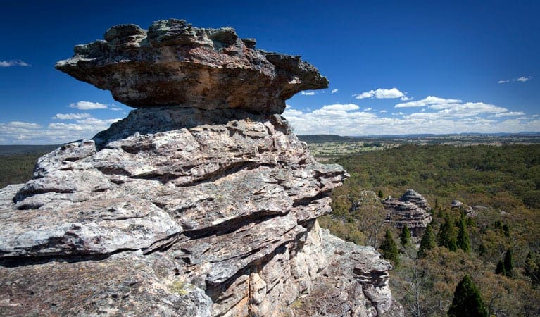
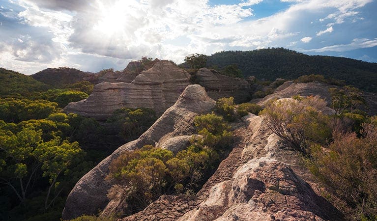
The abundant plant life along the track adds to the beauty of The Drip. See if you can spot native apple gums, tree violets (named for their scent) and rocky outcrops with orchids and moss. After your walk, splash around in the Goulburn River or stop off at Hands on the Rock, an important Aboriginal rock art site at Ulan. It's only 2km north of the Drip and well worth a visit.
Tips
There are some steps, handrails, uneven rocks and creek crossings along this track. It's a good idea to wear long pants and enclosed shoes.
You can visit The Drip during the day. If you're camping, try Spring Gully or Big River campgrounds which are a 1 hour drive from The Drip, towards Wollar.
No fires or camping are permitted at The Drip.
Visit NSW National Parks and Wildlife Service for more information on this trail.
The longitude and latitude of the start and end points are approximately only and should not be used for navigation purposes. Please contact me if you know the correct coordinates.
Gallery
Got some great shots from this hike?
Upload your photos here to inspire others and show off the beauty of the trail!
Submitting your photos doesn’t mean you lose ownership. You can be credited for your contributions, and you can request removal at any time.
Content use
Please don’t copy GPX files or content from this site to AllTrails or other platforms. Each trail has been personally mapped, documented, and refined to support Australia’s bushwalking and hiking community. While some details come from land managers, every listing reflects significant personal effort. This is a free, community-driven initiative—your respect helps keep it that way.
Walk map and GPX file
It looks like I don’t have a GPX file for this trail yet. If you have one to share, please email it to me! I’ll verify it against official maps before adding it to help other hikers have a safer, easier experience. Thanks for contributing to a better hiking resource.
Getting there
Getting to the trailhead: Goulburn River National Park.
The Drip is in Goulburn River State Conservation Area, on the extreme western boundary of Goulburn River National Park. To get there from Mudgee: Drive around 50km north from Mudgee on Ulan-Cassilis Road.Pass by the Ulan and Moolarben coal mines and drive for another 10km.Look for the turn-off sign for The Drip, just north of the Ulan mine precinct towards the Golden Highway. Weather restrictions All weather Parking Parking is off Ulan-Cassilis Road. Limited parking is available. Spaces for caravans and small buses are available. Not suitable for large coaches.
Closest towns to this walk: Binda, Bonnie Doon, Bungendore, Eildon, Goulburn, Jamieson, Mansfield, Marulan, Merrijig, Tarago, Yea
About the region
Goulburn River National Park in the Country NSW region
Goulburn River National Park is always open, but may have to close at times due to poor weather or fire danger.
Similar walks nearby
Looking for more walks in or near Goulburn River National Park? Try these trails with a similar difficulty grade.
Track grade
Grade 3 (Moderate) - Walks for Most Fitness Levels: Grade 3 on the AWTGS represents moderate walking tracks. These are ideal for walkers with some fitness who are comfortable with some hills and uneven terrain. While suitable for most ages, some bushwalking experience is recommended to ensure a safe and enjoyable experience. Tracks may have short, steep hill sections, a rough surface, and many steps. The total distance of a Grade 3 walk can be up to 20 kilometers.
Explore safe
Plan ahead and hike safely! Carry enough water, pack layers for changing conditions, and bring safety gear like a torch, PLB, and reliable communication device. Check official sources for trail updates, closures, and access requirements, and review local weather and bushfire advice. Most importantly, share your plans with someone before you go. Being prepared makes for a safer and more enjoyable hike! Stay Safe, Explore More, and Always #ExploreSafe.
Packing checklists
What you carry in your pack depends on factors like weather, terrain, and your adventure type. Not sure what to bring? My free planning, food, and packing checklists are a great starting point, covering day hikes, overnight trips, and multi-day adventures. Use them to customise your kit and always prioritise safety.
Let someone know
Before heading out, take a moment to fill out your trip intentions form. It’s a quick way to share your hike details with family or friends. If something goes wrong, they can notify emergency services, ensuring a faster response and peace of mind. Stay safe and enjoy your adventure
Suggest an edit
Spotted a change on this trail? Maybe there are new features, the route has shifted, or the trail is permanently closed. Whatever the update, I’d love your input. Your feedback helps fellow hikers stay informed and ensures that our trail info stays fresh and reliable.
Acknowledgement of Country
Trail Hiking Australia acknowledges the Traditional Owners of the lands on which we hike and pay respects to their Elders, past and present, and we acknowledge the First Nations people of other communities who may be here today.


