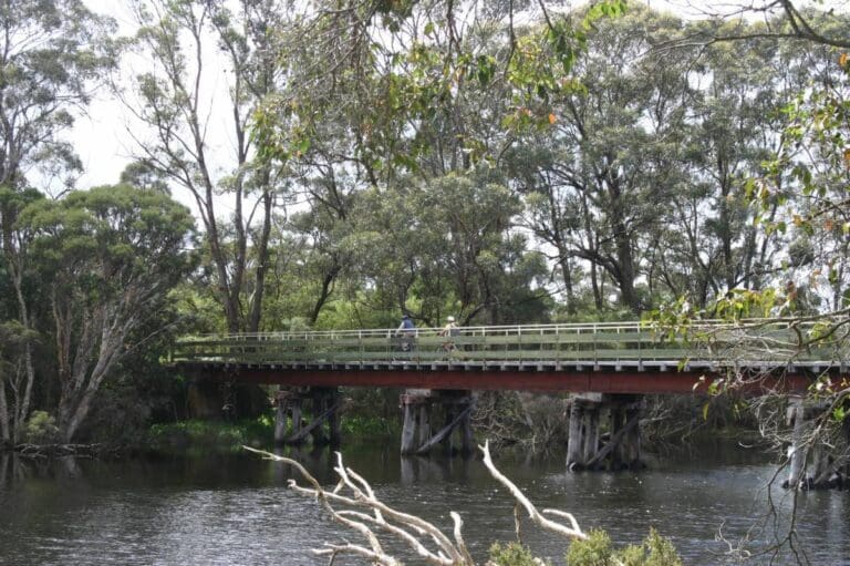
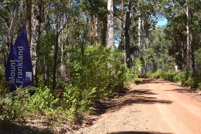
This is an eight kilometre loop walk, taking in the summit of Mount Clare , the Deep River suspension bridge and the beautiful karri and tingle forest.
The Deep River represents the entrance to the Walpole Wilderness area, which embraces seven National Parks, Forest Conservation Areas and Nature Reserves, totalling 363,000 hectares, including areas of classified wilderness. About 20,000 hectares within the Walpole Wilderness area are classified as "wilderness".
The track leaves the Mount Clare parking area and follows the Bibbulmun Track to the summit of Mount Clare. It then descends via the Bibbulmun Track to the suspension bridge on the Deep River. After returning to Shedley Drive, and turning left, the trail follows Shedley Drive for approximately five kilometres before reaching Tinglewood Drive. A right turn returns the hiker to the starting point.
Start Point: Mount Clare car park
End Point: Mount Clare car park
Region: Walpole-Nornalup National Park, South West
For more information, a location map and GPS file please visit Trails WA.
Got some great shots from this hike? Upload your photos here to inspire others and show off the beauty of the trail!
Submitting your photos doesn’t mean you lose ownership. You can be credited for your contributions, and you can request removal at any time.
Please don’t copy GPX files or content from this site to AllTrails or other platforms. Each trail has been personally mapped, documented, and refined to support Australia’s bushwalking and hiking community. While some details come from land managers, every listing reflects significant personal effort. This is a free, community-driven initiative—your respect helps keep it that way.
It looks like I don’t have a GPX file for this trail yet. If you have one to share, please email it to me! I’ll verify it against official maps before adding it to help other hikers have a safer, easier experience. Thanks for contributing to a better hiking resource.
Getting there
Getting to the trailhead: Walpole-Nornalup National Park.
Closest towns to this walk: Augusta, Denmark, Manjimup, Mount Barker, Nornalup, Pemberton, Walpole
Similar walks nearby
Looking for more walks in or near Walpole-Nornalup National Park? Try these trails with a similar difficulty grade.
Favourite

Walpole-Nornalup National Park
Favourite

Regional Western Australia
Favourite

Favourite

Track grade
Grade 4 (Hard) -
Challenging Walks for Experienced Walkers: Grade 4 on the
AWTGS signifies challenging walking tracks. Bushwalking experience is recommended for these tracks, which may be long, rough, and very steep. Directional signage may be limited, requiring a good sense of navigation. These walks are suited for experienced walkers who are comfortable with steeper inclines, rougher terrain, and potentially longer distances.
Explore safe
Plan ahead and hike safely! Carry enough water, pack layers for changing conditions, and bring safety gear like a torch, PLB, and reliable communication device. Check official sources for trail updates, closures, and access requirements, and review local weather and bushfire advice. Most importantly, share your plans with someone before you go. Being prepared makes for a safer and more enjoyable hike! Stay Safe, Explore More, and Always #ExploreSafe.
Packing checklists
What you carry in your pack depends on factors like weather, terrain, and your adventure type. Not sure what to bring? My free planning, food, and packing checklists are a great starting point, covering day hikes, overnight trips, and multi-day adventures. Use them to customise your kit and always prioritise safety.
Let someone know
Before heading out, take a moment to fill out your trip intentions form. It’s a quick way to share your hike details with family or friends. If something goes wrong, they can notify emergency services, ensuring a faster response and peace of mind. Stay safe and enjoy your adventure
Suggest an edit
Spotted a change on this trail? Maybe there are new features, the route has shifted, or the trail is permanently closed. Whatever the update, I’d love your input. Your feedback helps fellow hikers stay informed and ensures that our trail info stays fresh and reliable.


