Hike at a Glance
Max elevation: 0m
Min elevation: 0m
Total Ascent: 0m
Hike overview
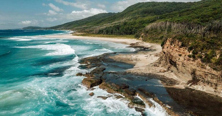
The Rock Platform walk near Depot Beach in Murramarang National Park provides a captivating glimpse into the intertidal zone, just north of Batemans Bay. This short, 1-kilometer loop hike is suitable for most fitness levels (grade 4) and takes approximately 45 minutes to complete. However, it's crucial to note that this walk is only accessible during low tide.
The reward for careful planning lies in the fascinating rockpools teeming with marine life. Sea urchins, crabs, and tiny fish cling to the exposed rocks, creating a natural aquarium for curious explorers. Keep an eye out for the incoming tide and be sure to time your visit accordingly.
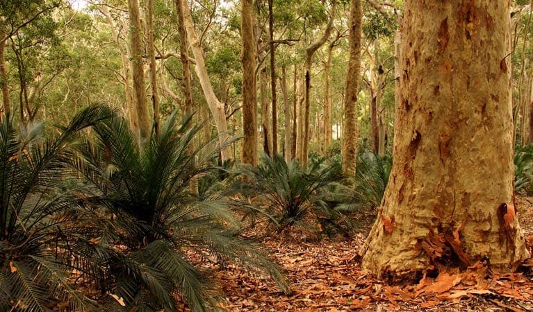
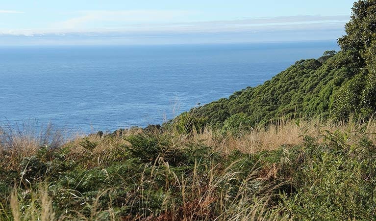
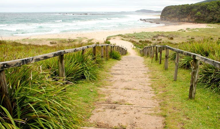
Following the rockpool exploration, the trail leads to a lookout point boasting breathtaking views. Here, uninterrupted views showcase the beauty of the South Coast – pristine beaches, rocky headlands, and spotted gum forests fringing the shoreline. The nearby Grasshopper Island, a haven for shorebirds, offers excellent birdwatching opportunities. Look out for sooty oyster catchers, white-faced storm petrels, and even little penguins.
After immersing yourself in the natural wonders, consider a relaxing picnic at the designated area near Depot Beach. Refuel with a hearty barbecue while reminiscing about the day's discoveries.
Gallery
Got some great shots from this hike? Upload your photos here to inspire others and show off the beauty of the trail!
Click to view form >>
Submitting your photos doesn’t mean you lose ownership. You can be credited for your contributions, and you can request removal at any time.
Content use
Please don’t copy GPX files or content from this site to AllTrails or other platforms. Each trail has been personally mapped, documented, and refined to support Australia’s bushwalking and hiking community. While some details come from land managers, every listing reflects significant personal effort. This is a free, community-driven initiative—your respect helps keep it that way.
Walk map and GPX file
It looks like I don’t have a GPX file for this trail yet. If you have one to share, please email it to me! I’ll verify it against official maps before adding it to help other hikers have a safer, easier experience. Thanks for contributing to a better hiking resource.
Getting there
Getting to the trailhead: Murramarang National Park.
Accessible by car, the Rock Platform walk commences within the central precinct of Murramarang National Park. To reach the trailhead, travelers can depart from the Princes Highway, turning off at East Lynne onto Mount Agony Road. After roughly 5 kilometers, take a right turn onto North Durras Road. Continue until you see Depot Beach Road on your left and turn there. The final leg of the journey involves taking the second left turn to arrive at the Depot Beach picnic area carpark. Be aware that the last 200 meters of the road are unsealed. Ample parking is available at the picnic area, conveniently situated near the start of the Rock Platform walk.
Closest towns to this walk: Batemans Bay, Bawley Point, Kioloa, Maloneys Beach, Malua Bay, Milton, Moruya, Narooma, Nelligen, North Durras, Tomakin, Ulladulla
About the region
Murramarang National Park, a nature lover's paradise, stretches along 44 kilometers of dramatic coastline on the NSW south coast, near Batemans Bay. Here, visitors can camp under the shade of spotted gum trees that grow right down to the oceanfront, creating a stunning backdrop for a year-round escape. The park offers a variety of activities. Hike or bike along the trails, explore the cliffs and headlands, or relax on pristine beaches. Take a dip in the ocean, go surfing, or cast a fishing line for your dinner. Keep an eye out for eastern grey kangaroos and the abundant birdlife that call the park home.
The park is particularly famous for the multi-day Murramarang South Coast Walk, a spectacular 3-day adventure for experienced hikers. But there are options for all fitness levels. Explore the Durras Lake discovery trail, perfect for a family outing with children, or rent a canoe to paddle around the calm waters of Durras Lake. Whether you're looking for a day trip or a longer stay, Murramarang National Park has something for everyone. Choose from a variety of camping options, including caravan and motorhome sites with amenities, or book a cabin for a more comfortable stay.
Similar walks nearby
Looking for more walks in or near Murramarang National Park? Try these trails with a similar difficulty grade.
Track grade
Grade 4 (Hard) - Challenging Walks for Experienced Walkers: Grade 4 on the AWTGS signifies challenging walking tracks. Bushwalking experience is recommended for these tracks, which may be long, rough, and very steep. Directional signage may be limited, requiring a good sense of navigation. These walks are suited for experienced walkers who are comfortable with steeper inclines, rougher terrain, and potentially longer distances.
Explore safe
Plan ahead and hike safely! Carry enough water, pack layers for changing conditions, and bring safety gear like a torch, PLB, and reliable communication device. Check official sources for trail updates, closures, and access requirements, and review local weather and bushfire advice. Most importantly, share your plans with someone before you go. Being prepared makes for a safer and more enjoyable hike! Stay Safe, Explore More, and Always #ExploreSafe.
Packing checklists
What you carry in your pack depends on factors like weather, terrain, and your adventure type. Not sure what to bring? My free planning, food, and packing checklists are a great starting point, covering day hikes, overnight trips, and multi-day adventures. Use them to customise your kit and always prioritise safety.
Let someone know
Before heading out, take a moment to fill out your trip intentions form. It’s a quick way to share your hike details with family or friends. If something goes wrong, they can notify emergency services, ensuring a faster response and peace of mind. Stay safe and enjoy your adventure
Suggest an edit
Spotted a change on this trail? Maybe there are new features, the route has shifted, or the trail is permanently closed. Whatever the update, I’d love your input. Your feedback helps fellow hikers stay informed and ensures that our trail info stays fresh and reliable.
Acknowledgement of Country
Trail Hiking Australia acknowledges the Traditional Owners of the lands on which we hike and pay respects to their Elders, past and present, and we acknowledge the First Nations people of other communities who may be here today.


