Hike at a Glance
Max elevation: 0m
Min elevation: 0m
Total Ascent: 0m
Hike overview
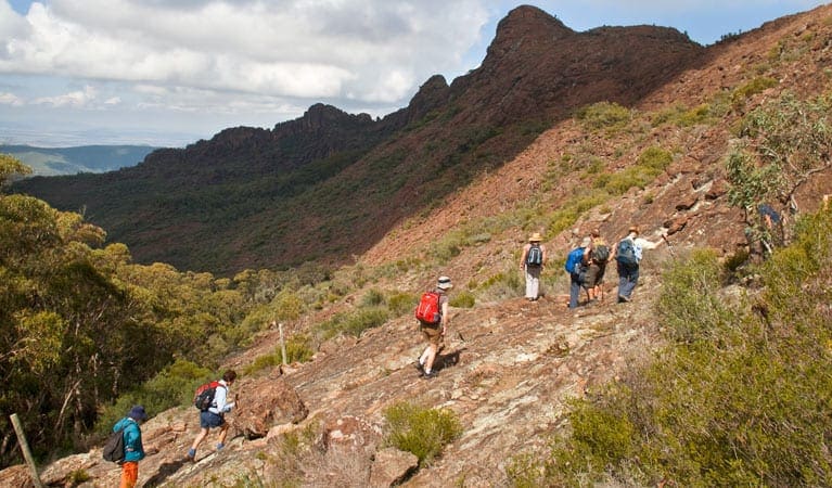
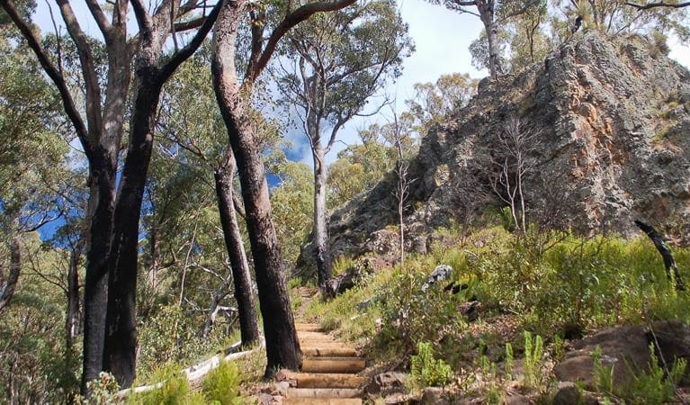
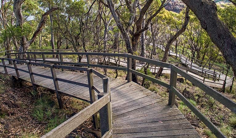
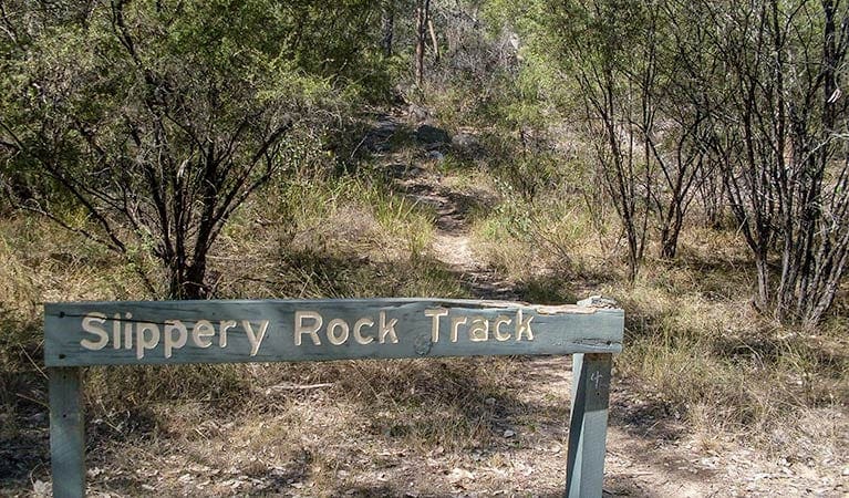
A visit to Waa Gorge doesn't need to end with its picnic area. Indeed, this is only the beginning: from here, you can explore the nooks and crannies of the ancient formation. Mill-bullah walking track offers a good introduction, finishing at the beautiful Mill-bullah waterholes. 'Mill-bullah' means 'two eyes', and nearly anybody can see them on this medium-grade path along a shady creek.
Start your walk near the information shelter, which provides a fascinating insight into the box-cypress forest and dry rainforest of the area. The track from here is just 500m long, so it's suitable for most visitors. For the best experience, visit in spring or autumn, when temperatures are cool, and bring some binoculars for a bit of birdwatching along the way.
From the Mill-bullah waterholes, experienced walkers can continue on to Waa Gorge through Grattai Wilderness Area by taking Waa Gorge walking track.
Gallery
Got some great shots from this hike? Upload your photos here to inspire others and show off the beauty of the trail!
Click to view form >>
Submitting your photos doesn’t mean you lose ownership. You can be credited for your contributions, and you can request removal at any time.
Content use
Please don’t copy GPX files or content from this site to AllTrails or other platforms. Each trail has been personally mapped, documented, and refined to support Australia’s bushwalking and hiking community. While some details come from land managers, every listing reflects significant personal effort. This is a free, community-driven initiative—your respect helps keep it that way.
Walk map and GPX file
It looks like I don’t have a GPX file for this trail yet. If you have one to share, please email it to me! I’ll verify it against official maps before adding it to help other hikers have a safer, easier experience. Thanks for contributing to a better hiking resource.
Getting there
Getting to the trailhead: Mount Kaputar National Park.
Mill-Bullah walking track is in the Waa Gorge precinct of Mount Kaputar National Park. Allambie Road is dry weather access only. To get there:From Narrabri:Travel north along Newell Highway towards Moree for 3kmTurn right onto Killarney Gap Road (Bingara Road).After about 21km, turn left onto Melburra Road (SR3 to Terry Hie Hie).After approximately 30km, you’ll reach a T-junction. Turn right on Allambie Road to Waa Gorge.Travel 6.5km to the park entrance. Waa Gorge carpark and picnic area is a further 1.5km. From Moree:Travel east on Gwydir Highway towards WarialdaAfter 6.2km, turn right to Terry Hie Hie.Travel about 35km through Terry Hie Hie and take the left fork through the Berrygil portion of Terry Hie Hie Aboriginal Area. Travel 14km and turn left onto Allambie Road.Travel 6.5km to the park entrance. Waa Gorge carpark and picnic area is a further 1.5km Road quality Allambie Road is dry weather access only and passes through private property, so please respect landholders by leaving gates as you find them and staying off wet roads. Check the weather before you set out as the road to Waa Gorge can become boggy when it rains. Parking Parking is available at Waa Gorge picnic area.
Visit NSW National Parks and Wildlife Service for more information on this trail.
The longitude and latitude of the start and end points are approximately only and should not be used for navigation purposes. Please contact me if you know the correct coordinates.
Closest towns to this walk: Baan Baa, Baradine, Bellata, Bingara, Bundarra, Coonabarabran, Gunnedah, Manilla, Moree, Narrabri, Walgett, Wee Waa
About the region
With camping, cycling, walking, horse riding and bird watching waiting for you on this scenic mountain range, Mount Kaputar is a fantastic wilderness escape in NSW. Be awed by towering forests, breathtaking rock formations and stunning scenery at Mount Kaputar National Park. Roughly 1 hour's drive from Narrabri in northern NSW, Mount Kaputar is an explorer's paradise.
Take in the views from the park's lookouts, have a relaxing picnic or barbecue, or stay overnight in a picturesque campground or cabin accommodation. Bring your binoculars to enjoy bird watching, or to search for possums and greater gliders after dark. Or for a more adventurous trip; walk one of the park's many tracks, or go for a mountain bike or horse ride through the spectacular landscape.
Similar walks nearby
Looking for more walks in or near Mount Kaputar National Park? Try these trails with a similar difficulty grade.
Track grade
Grade 4 (Hard) - Challenging Walks for Experienced Walkers: Grade 4 on the AWTGS signifies challenging walking tracks. Bushwalking experience is recommended for these tracks, which may be long, rough, and very steep. Directional signage may be limited, requiring a good sense of navigation. These walks are suited for experienced walkers who are comfortable with steeper inclines, rougher terrain, and potentially longer distances.
Explore safe
Plan ahead and hike safely! Carry enough water, pack layers for changing conditions, and bring safety gear like a torch, PLB, and reliable communication device. Check official sources for trail updates, closures, and access requirements, and review local weather and bushfire advice. Most importantly, share your plans with someone before you go. Being prepared makes for a safer and more enjoyable hike! Stay Safe, Explore More, and Always #ExploreSafe.
Packing checklists
What you carry in your pack depends on factors like weather, terrain, and your adventure type. Not sure what to bring? My free planning, food, and packing checklists are a great starting point, covering day hikes, overnight trips, and multi-day adventures. Use them to customise your kit and always prioritise safety.
Let someone know
Before heading out, take a moment to fill out your trip intentions form. It’s a quick way to share your hike details with family or friends. If something goes wrong, they can notify emergency services, ensuring a faster response and peace of mind. Stay safe and enjoy your adventure
Suggest an edit
Spotted a change on this trail? Maybe there are new features, the route has shifted, or the trail is permanently closed. Whatever the update, I’d love your input. Your feedback helps fellow hikers stay informed and ensures that our trail info stays fresh and reliable.
Acknowledgement of Country
Trail Hiking Australia acknowledges the Traditional Owners of the lands on which we hike and pay respects to their Elders, past and present, and we acknowledge the First Nations people of other communities who may be here today.


