Hike at a Glance
Max elevation: 0m
Min elevation: 0m
Total Ascent: 0m
Important info
This park is in a remote location, so please ensure you’re well-prepared, bring appropriate clothing and equipment and advise a family member or friend of your travel plans.
Hike overview
Nestled within Heathcote National Park, near Waterfall, lies the Lake Toolooma trail – a jewel waiting to be explored. Though challenging at times, this invigorating hike unveils a hidden gem: a secluded dam teeming with birdlife and boasting breathtaking views.
This hidden gem of a hike might surprise you. While the Lake Toolooma trail can be completed in just a couple of hours, the tranquility it offers provides a true escape from the everyday hustle. Immerse yourself in the uninterrupted bushland as the path winds its way towards the scenic dam. Keep your binoculars handy – this spot is a haven for birdwatchers, with honeyeaters, wattlebirds, and delicate fairy wrens flitting amongst the trees.
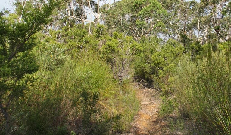
The trail itself reflects the rugged beauty of Heathcote National Park. Expect some steeper sections, but the rewards are more than worth it. As you navigate the track, soak in the picturesque views – a mesmerizing blend of Sydney sandstone vegetation and captivating glimpses of the water.
Spring transforms the landscape into a vibrant canvas. The heath comes alive with a dazzling display of wildflowers – Gymea lilies, tea trees, grevilleas, waxflowers, and banksias paint the surroundings in a spectrum of colors. Don't forget your camera – you won't want to miss capturing the magic of this seasonal spectacle.
So, lace up your walking boots and enjoy a journey to discover the magic of Lake Toolooma trail. A challenging yet rewarding hike awaits, promising a dose of nature's beauty and a chance to reconnect with yourself.
Tips
- Remember to take your binoculars if you want to go birdwatching.
- Heathcote National Park offers an exceptional visit all year round. You're sure to find a walk, tour, activity or attraction to appeal, regardless of the season.
- Visit Heathcote National Park in spring to see blooming Gymea lilies give a scarlet glow to the gullies.
- This park is in a remote location, so please ensure you’re well-prepared, bring appropriate clothing and equipment and advise a family member or friend of your travel plans.
Gallery
Got some great shots from this hike? Upload your photos here to inspire others and show off the beauty of the trail!
Click to view form >>
Submitting your photos doesn’t mean you lose ownership. You can be credited for your contributions, and you can request removal at any time.
Content use
Please don’t copy GPX files or content from this site to AllTrails or other platforms. Each trail has been personally mapped, documented, and refined to support Australia’s bushwalking and hiking community. While some details come from land managers, every listing reflects significant personal effort. This is a free, community-driven initiative—your respect helps keep it that way.
Walk map and GPX file
It looks like I don’t have a GPX file for this trail yet. If you have one to share, please email it to me! I’ll verify it against official maps before adding it to help other hikers have a safer, easier experience. Thanks for contributing to a better hiking resource.
Getting there
Getting to the trailhead: Heathcote National Park.
Reaching the trailhead can be done by car or train. Hikers arriving by train can start their journey at Waterfall Station. Head south on Korooban Street, crossing the Princes Highway, and continue for about 400 meters. Take a right turn onto Camp Coutts Trail, followed by another right to officially begin the Lake Toolooma Trail.
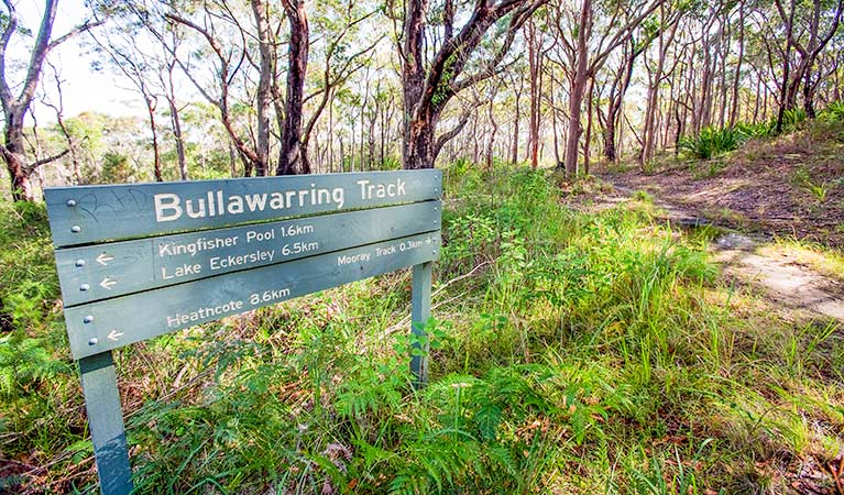
For those arriving by car, there is no designated parking at the trailhead. Navigate to the end of Warabin Street and look for the signposted Bullawarring walking track along the fire trail. Follow this trail for 50 meters. At the junction, turn left to continue onto the Lake Toolooma Trail. Remember, since there’s no parking at the trailhead, plan your transportation accordingly.
Closest towns to this walk: Barden Ridge, Como, Engadine, Heathcote, Loftus, Lucas Heights, Menai, Miranda, Sutherland, Waterfall
About the region
Visit Heathcote National Park near Waterfall in southern Sydney for self-sufficient bushwalking or camping. The park is easy to access and popular for mountain biking, hiking and waterholes, making for a great daytrip.
Enjoy bushwalking amid the rugged beauty of the Australian bush at Heathcote National Park, in the south of Sydney, adjacent to Royal National Park. The park is known for magnificent native vegetation and wildlife, rocky outcrops, and hidden freshwater pools. Heathcote is a great place for mountain biking along Pipeline trail, and is within easy reach of Sydney and several train stations.
Seasoned bushwalkers will enjoy excellent walking tracks, as well as bush camping at Kingfisher Pool. The northern end of the park offers a short walk from Heathcote down to Mirang Pool picnic area. This park has limited facilities so it's ideal for those who are comfortable with self-sufficient and relatively isolated walking and camping experiences.
Similar walks nearby
Looking for more walks in or near Heathcote National Park? Try these trails with a similar difficulty grade.
Track grade
Grade 4 (Hard) - Challenging Walks for Experienced Walkers: Grade 4 on the AWTGS signifies challenging walking tracks. Bushwalking experience is recommended for these tracks, which may be long, rough, and very steep. Directional signage may be limited, requiring a good sense of navigation. These walks are suited for experienced walkers who are comfortable with steeper inclines, rougher terrain, and potentially longer distances.
Explore safe
Plan ahead and hike safely! Carry enough water, pack layers for changing conditions, and bring safety gear like a torch, PLB, and reliable communication device. Check official sources for trail updates, closures, and access requirements, and review local weather and bushfire advice. Most importantly, share your plans with someone before you go. Being prepared makes for a safer and more enjoyable hike! Stay Safe, Explore More, and Always #ExploreSafe.
Packing checklists
What you carry in your pack depends on factors like weather, terrain, and your adventure type. Not sure what to bring? My free planning, food, and packing checklists are a great starting point, covering day hikes, overnight trips, and multi-day adventures. Use them to customise your kit and always prioritise safety.
Let someone know
Before heading out, take a moment to fill out your trip intentions form. It’s a quick way to share your hike details with family or friends. If something goes wrong, they can notify emergency services, ensuring a faster response and peace of mind. Stay safe and enjoy your adventure
Suggest an edit
Spotted a change on this trail? Maybe there are new features, the route has shifted, or the trail is permanently closed. Whatever the update, I’d love your input. Your feedback helps fellow hikers stay informed and ensures that our trail info stays fresh and reliable.
Acknowledgement of Country
Trail Hiking Australia acknowledges the Traditional Owners of the lands on which we hike and pay respects to their Elders, past and present, and we acknowledge the First Nations people of other communities who may be here today.


