Trail Fast Facts
Kalamunda Zig Zag Trail is a 3km, grade 2 hike in Goosberry Hill National Park, Western Australia. This hike typically takes 1.25 hours to complete.
Hike Overview
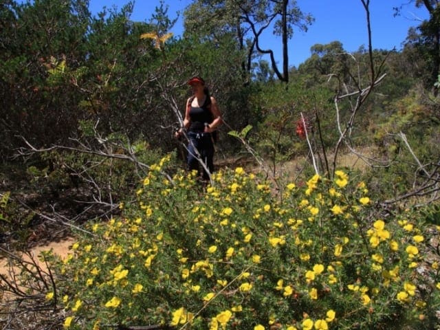
Step off the beaten path and immerse yourself in the diverse trails of Gooseberry Hill National Park, a hidden gem nestled within the Perth Hills. Walkers seeking an outdoor challenge will find everything from short loops ideal for families, offering panoramic views and glimpses of the historic Zig Zag railway, to the iconic Bibbulmun Track. Immerse yourself in the vibrant wildflowers that burst into life during late winter and spring, or trace the tracks of history along the Zig Zag Scenic Trail, open for walkers and cyclists only in the early mornings and evenings.
Located in Gooseberry Hill National Park, you are rewarded with spectacular views over Perth. The Zig Zag was created as part of a series of railway switching points where trains reversed direction in order to climb the steep 1 in 30 grade of the Darling Range. Wildflowers are abundant in late winter and spring.
The Zig Zag Scenic Trail is open for walkers & cyclists only from 8.30pm to 11.00am, and for walkers, cyclists and cars from 11.00am to 8.30pm daily.
Photo credit: Rail Trails Australia. For more information and a location map please visit RailTrails Australia.
Track Grade
Grade 2 (Easy) - A Gentle Introduction to Inclines: Grade 2 on the AWTGS represents easy walking tracks that offer a slightly more challenging experience compared to Grade 1. Similar to Grade 1, no prior bushwalking experience is required. The track surface is typically hardened or compacted and may have gentle hill sections or occasional steps. The total distance of a Grade 2 walk is typically no greater than 10 kilometers. These walks are still suitable for families with a bit more experience or those seeking a gentle introduction to some inclines.
Map and GPX file
Help fellow hikers navigate with confidence. Share your GPX or KML file for this trail and help build a more comprehensive resource with precise waypoints and elevation profiles. Your contribution will empower adventurers with details they need for a safer and more enjoyable experience. I meticulously verify every file using official maps and surveys, ensuring the highest level of accuracy and reliability. Submit your file now and become a trailblazer for your fellow outdoor enthusiasts.
Trail Location (trailhead)
Sorry, no records were found. Please adjust your search criteria and try again.
Sorry, unable to load the Maps API.
Photo gallery
If you have any photos from this hike and are happy to share them, please upload your .jpg files here.
Please note: Uploading photos does not transfer ownership of copyright away from you. If requested, you will be credited for any photos you provide and can ask they be deleted at any time.
About the region
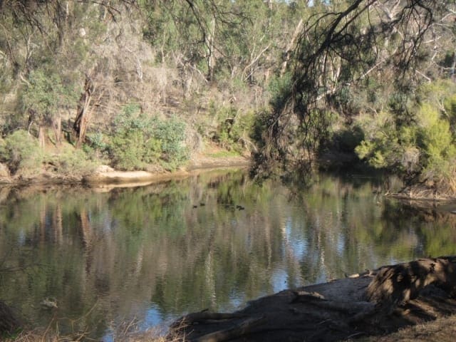
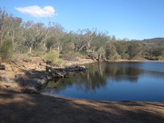
Goosberry Hill National Park has no facilities for visitors but offers stunning views over the Swan Coastal Plain far below. It is characterized by steep hills, a riot of bush birds and vegetation.
The one-way downhill scenic drive is known as the Zig-Zag. It was once the railway line up the hill. The breathtaking vista offers good opportunities for landscape photography. The Swan Coastal Plain is always a remarkable sight.
Several walking paths criss-cross the Zig-Zag. These allow you to get nearer to nature and the pleasant Hills countryside. Keep your eyes peeled for the abundant birdlife in the park. Some binoculars may come in handy.
Similar trails nearby
Explore Safe
While planning your hike, it’s important to check official government sources for updated information, temporary closures and trail access requirements. Before hitting the trail, check local weather and bushfire advice for planned burns and bushfire warnings and let someone know before you go. Plan ahead and hike safely.
Let someone know
Adventure with peace of mind: Fill out your trip intentions form. Before you hit the trail, fill out an online form to privately send important details about your hike to your family or friends. If you don’t return on time, they can easily alert emergency services, preventing worry and ensuring a swift response. Hike with peace of mind and enjoy your outdoor adventure to the fullest. Be smart, be safe: Register your plans here.
Gear to consider
What you carry in your pack will depend on the weather, terrain, time of year, type of adventure, and personal preferences. Having trouble deciding what gear’s right for you? My free planning, food and packing checklists provide an introduction to things your could consider (as well as the Ten Essentials) on your day, overnight and multi-day adventures. Customise your kit according to your personal needs, always considering safety first.
Suggest an edit
Trail changed? New features discovered? Has the route changed? Trail permanently closed? Help fellow hikers by suggesting edits! Click above to update route descriptions, GPX file, trail features (like boardwalks), or access conditions (like parking availability). Help me keep the trails info fresh!
Weather
Acknowledgement of Country
Trail Hiking Australia acknowledges the Traditional Owners of the lands on which we hike and pay respects to their Elders, past and present, and we acknowledge the First Nations people of other communities who may be here today.


