Hike at a Glance
Max elevation: 0m
Min elevation: 0m
Total Ascent: 0m
Hike overview
Hopetoun Falls walking track offers a short but exciting adventure for the intrepid traveller looking for solitude in a stunning natural setting. This walking track crosses one of the less explored parts of Mount Canobolas State Conservation Area.
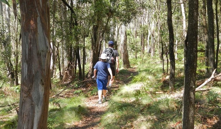
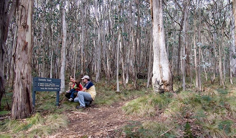
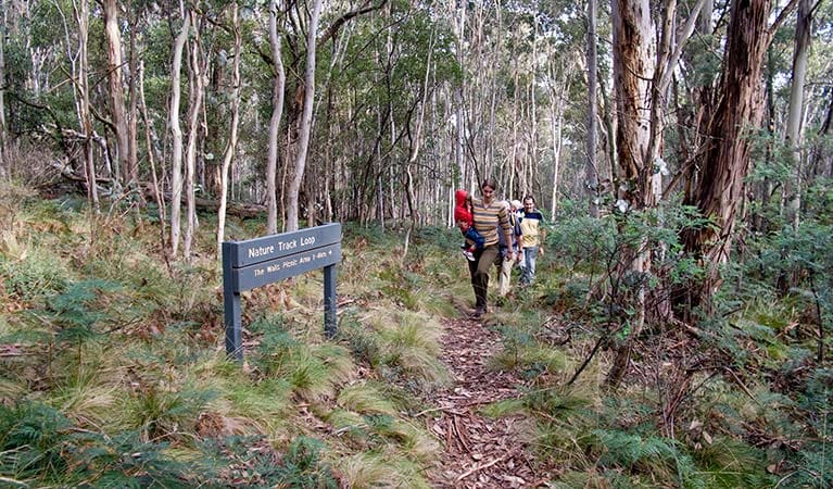
Though it begins at Federal Falls campground, it quickly diverges into snow gum grassy woodland as you move downhill, away from any visitors. The track then graduates into rocky heathland before brushing up against a peaceful creek - perfect for a refreshing splash. Cross the creek via the bridge and then follow the trail as it leaps over a small hill and down into a final steep descent which brings you all the way to a pleasant area overlooking Hopetoun Falls.
Settle down in cool woodlands with a packed picnic lunch or pull out your binoculars for a spot of birdwatching. Just be sure to bring plenty of water and wear sturdy footwear as this walk is suitable for people with hiking experience. Its modest challenges deliver a great afternoon reward.
Tips
Remember to take your binoculars if you want to go bird watching
The weather in the area can be extreme and unpredictable, so please be well-prepared for your visit.
Visit NSW National Parks and Wildlife Service for more information on this trail.
The longitude and latitude of the start and end points are approximately only and should not be used for navigation purposes. Please contact me if you know the correct coordinates.
Gallery
Got some great shots from this hike? Upload your photos here to inspire others and show off the beauty of the trail!
Click to view form >>
Submitting your photos doesn’t mean you lose ownership. You can be credited for your contributions, and you can request removal at any time.
Content use
Please don’t copy GPX files or content from this site to AllTrails or other platforms. Each trail has been personally mapped, documented, and refined to support Australia’s bushwalking and hiking community. While some details come from land managers, every listing reflects significant personal effort. This is a free, community-driven initiative—your respect helps keep it that way.
Walk map and GPX file
It looks like I don’t have a GPX file for this trail yet. If you have one to share, please email it to me! I’ll verify it against official maps before adding it to help other hikers have a safer, easier experience. Thanks for contributing to a better hiking resource.
Getting there
Getting to the trailhead: Mount Canobolas State Conservation Area.
On entering Mount Canobolas State Conservation Area:Follow Mount Canobolas Road before turning right onto Towac RoadFederal Falls campground is on the rightTake the northern entrance to Federal Falls walking track for about 400m to the start of Hopetoun Falls walking track Parking Parking is available at Federal Falls campground.
Closest towns to this walk: Blayney, Bloomfield, Borenore, Cadia, Manildra, Millthorpe, Molong, Nashdale, Orange, Spring Hill
About the region
Mount Canobolas State Conservation Area offers birdwatching, walking, scenic views, pretty picnic areas and a great campground; a top choice for a weekend getaway. The majestic Mount Canobolas is a dormant volcano that formed millions of years ago when Australia was sitting over a hotspot in the earth's crust. It is part of the Brigooda-Oberon chain that stretches 800km from southeast Queensland to near Oberon in NSW and last erupted eleven million years ago, spewing lava from the main vent and up to 30 vents in the surrounding area. With its rich soil, high altitude and cool climate, it's the perfect environment for a range of plants and animals. There are great places to picnic and a number of walking tracks, plus the park is only a short drive from Orange so it makes for a great daytrip. If you feel like a weekend getaway, there's also a campground that offers basic facilities in a pretty setting, right near the start of the Federal Falls walking track.
Similar walks nearby
Looking for more walks in or near Mount Canobolas State Conservation Area? Try these trails with a similar difficulty grade.
Track grade
Grade 3 (Moderate) - Walks for Most Fitness Levels: Grade 3 on the AWTGS represents moderate walking tracks. These are ideal for walkers with some fitness who are comfortable with some hills and uneven terrain. While suitable for most ages, some bushwalking experience is recommended to ensure a safe and enjoyable experience. Tracks may have short, steep hill sections, a rough surface, and many steps. The total distance of a Grade 3 walk can be up to 20 kilometers.
Explore safe
Plan ahead and hike safely! Carry enough water, pack layers for changing conditions, and bring safety gear like a torch, PLB, and reliable communication device. Check official sources for trail updates, closures, and access requirements, and review local weather and bushfire advice. Most importantly, share your plans with someone before you go. Being prepared makes for a safer and more enjoyable hike! Stay Safe, Explore More, and Always #ExploreSafe.
Packing checklists
What you carry in your pack depends on factors like weather, terrain, and your adventure type. Not sure what to bring? My free planning, food, and packing checklists are a great starting point, covering day hikes, overnight trips, and multi-day adventures. Use them to customise your kit and always prioritise safety.
Let someone know
Before heading out, take a moment to fill out your trip intentions form. It’s a quick way to share your hike details with family or friends. If something goes wrong, they can notify emergency services, ensuring a faster response and peace of mind. Stay safe and enjoy your adventure
Suggest an edit
Spotted a change on this trail? Maybe there are new features, the route has shifted, or the trail is permanently closed. Whatever the update, I’d love your input. Your feedback helps fellow hikers stay informed and ensures that our trail info stays fresh and reliable.
Acknowledgement of Country
Trail Hiking Australia acknowledges the Traditional Owners of the lands on which we hike and pay respects to their Elders, past and present, and we acknowledge the First Nations people of other communities who may be here today.


