Trail Fast Facts
De Burghs Bridge to Fullers Bridge is a 6km, grade 4 hike in Lane Cove National Park, New South Wales. This hike typically takes 3 hours to complete.
Hike Overview
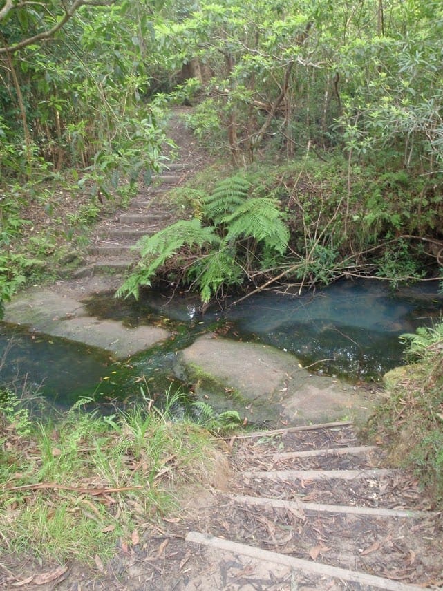
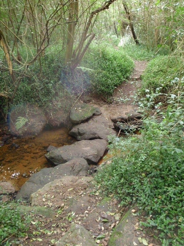
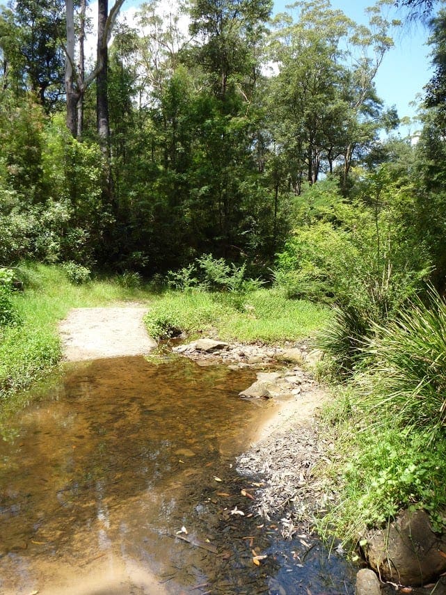
Following the Lane Cove River this walk mostly follows a section of the Great North Walk and is well maintained and signposted. Things to lookout for include Fiddens Wharf which is a very pleasant spot to sit and watch the ducks. The walk passes by Lane Cove National Park Headquarters so pop by and check out the other experiences available in the park.
Download maps and tracknotes for De Burghs Bridge to Fullers Bridge hiking track from wildwalks.com.
Track Grade
Grade 4 (Hard) - Challenging Walks for Experienced Walkers: Grade 4 on the AWTGS signifies challenging walking tracks. Bushwalking experience is recommended for these tracks, which may be long, rough, and very steep. Directional signage may be limited, requiring a good sense of navigation. These walks are suited for experienced walkers who are comfortable with steeper inclines, rougher terrain, and potentially longer distances.
Map and GPX file
Help fellow hikers navigate with confidence. Share your GPX or KML file for this trail and help build a more comprehensive resource with precise waypoints and elevation profiles. Your contribution will empower adventurers with details they need for a safer and more enjoyable experience. I meticulously verify every file using official maps and surveys, ensuring the highest level of accuracy and reliability. Submit your file now and become a trailblazer for your fellow outdoor enthusiasts.
Trail Location (trailhead)
Sorry, no records were found. Please adjust your search criteria and try again.
Sorry, unable to load the Maps API.
Photo gallery
If you have any photos from this hike and are happy to share them, please upload your .jpg files here.
Please note: Uploading photos does not transfer ownership of copyright away from you. If requested, you will be credited for any photos you provide and can ask they be deleted at any time.
About the region
Lane Cove National Park
Not far from Sydney's city centre, is the perfect place for a family day out or school excursion. Explore historic sites along the Heritage walk or enjoy a picnic, canoe or go birdwatching.
Lane Cove National Park is a beautiful pocket of bushland that sits on either side of the peaceful Lane Cove River. It's in easy reach for Sydneysiders, extending from East Ryde to Pennant Hills and West Chatswood.
It's a great place for a day out with the family; there are lots of picnic areas to choose from, including those that offer picnic tables, barbecues, children's play equipment, flat grassy areas and easy access to walking tracks and places to ride your bike. Whatever activities you fancy, you're bound to find a perfect place to picnic for the day.
Similar trails nearby
Explore Safe
While planning your hike, it’s important to check official government sources for updated information, temporary closures and trail access requirements. Before hitting the trail, check local weather and bushfire advice for planned burns and bushfire warnings and let someone know before you go. Plan ahead and hike safely.
Let someone know
Adventure with peace of mind: Fill out your trip intentions form. Before you hit the trail, fill out an online form to privately send important details about your hike to your family or friends. If you don’t return on time, they can easily alert emergency services, preventing worry and ensuring a swift response. Hike with peace of mind and enjoy your outdoor adventure to the fullest. Be smart, be safe: Register your plans here.
Gear to consider
What you carry in your pack will depend on the weather, terrain, time of year, type of adventure, and personal preferences. Having trouble deciding what gear’s right for you? My free planning, food and packing checklists provide an introduction to things your could consider (as well as the Ten Essentials) on your day, overnight and multi-day adventures. Customise your kit according to your personal needs, always considering safety first.
Suggest an edit
Trail changed? New features discovered? Has the route changed? Trail permanently closed? Help fellow hikers by suggesting edits! Click above to update route descriptions, GPX file, trail features (like boardwalks), or access conditions (like parking availability). Help me keep the trails info fresh!
Weather
Acknowledgement of Country
Trail Hiking Australia acknowledges the Traditional Owners of the lands on which we hike and pay respects to their Elders, past and present, and we acknowledge the First Nations people of other communities who may be here today.


