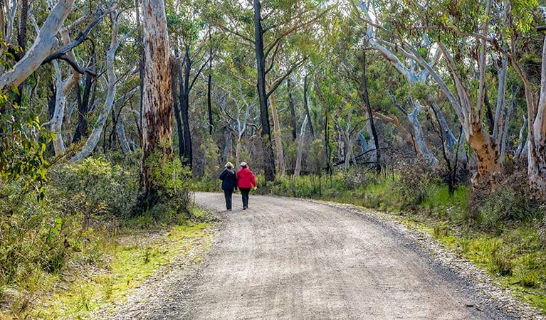
For a varied and interesting walk, take the Clover Hill trail. This old logging route leads to Rainbow Falls and three smaller falls upstream on the Macquarie Rivulet. After walking in the dense shade of the forest, suddenly the landscape opens up at Clover Hill - these are the paddocks cleared by farmers over a century ago. High above, the massive cliffs of the escarpment glow yellow and orange in the sunlight.
Bushwalkers, birdwatchers and adventurers will love this walk, with its sharp contrast between rainforest and open fields. The huge rainforest trees, eucalypts, beefwood, Illawarra flame trees, cabbage tree palms and tree ferns, home to lyrebirds and goannas, give way to sunny plains where you will often see kangaroos hopping about.
Highlights include a spectacular view of the escarpment, and adventurers may wish to scramble upstream at the end of the track to access Rainbow Falls.
Protect against leeches and ticks with insect repellent
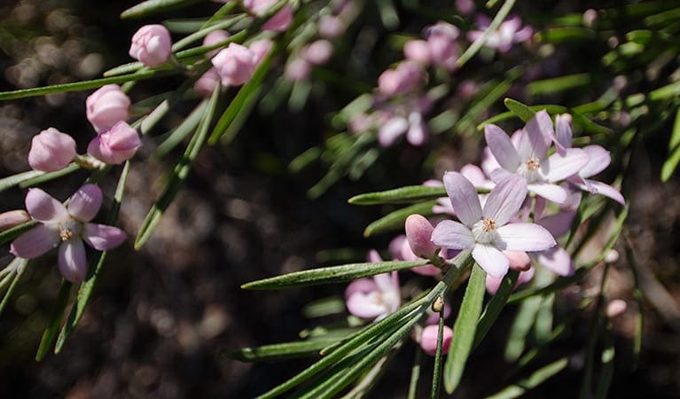
Please leave wildflowers and other plants as they are
Tall forest is best avoided when there are strong winds
Remember to take your binoculars if you want to birdwatch
Visit NSW National Parks and Wildlife Service for more information on this trail.
The longitude and latitude of the start and end points are approximately only and should not be used for navigation purposes. Please contact me if you know the correct coordinates.
Got some great shots from this hike? Upload your photos here to inspire others and show off the beauty of the trail!
Submitting your photos doesn’t mean you lose ownership. You can be credited for your contributions, and you can request removal at any time.
Please don’t copy GPX files or content from this site to AllTrails or other platforms. Each trail has been personally mapped, documented, and refined to support Australia’s bushwalking and hiking community. While some details come from land managers, every listing reflects significant personal effort. This is a free, community-driven initiative—your respect helps keep it that way.
It looks like I don’t have a GPX file for this trail yet. If you have one to share, please email it to me! I’ll verify it against official maps before adding it to help other hikers have a safer, easier experience. Thanks for contributing to a better hiking resource.
Getting there
Getting to the trailhead: Macquarie Pass National Park.
To Clover Hill carpark. The trackhead is at the northern edge of Cascades picnic area. From Sydney and Wollongong:Take the Princes Highway and Southern Freeway to the Illawarra Highway turnoff at Haywards BayTravel about 14km along the Illawarra Highway, which veers right in Albion Park, to Macquarie Pass National Park.After passing the Macquarie Pass National Park sign at the bottom of Macquarie Pass, travel 2.2km further along the highway.Clover Hill Road is signposted on the left and the carpark is at the start of the trailFromRobertson:Take the Illawarra Highway east to reach Macquarie Pass National Park and Cascades picnic areaClover Hill Road is signposted on the right, 5km after the Macquarie Pass National Park sign on the first hairpin bend, and the carpark is at the start of the trail.Please be careful turning off and entering the Illawarra Highway at Clover Hill Road, as visibility is limited by the windy road. Park entry points Clover Hill carpark See on map Parking Parking is available in the designated carpark. It can be a busy place on the weekend, so parking might be limited.
Closest towns to this walk: Albion Park, Berkelouw, Dapto, Kiama, Moss Vale, Oak Flats, Robertson, Wollongong
About the region
Macquarie Pass National Park in the South Coast and Country NSW regions
Macquarie Pass National Park is always open but may have to close at times due to poor weather or fire danger.
Similar walks nearby
Looking for more walks in or near Macquarie Pass National Park? Try these trails with a similar difficulty grade.
Favourite

Favourite

Thirlmere Lakes National Park
Favourite

Favourite

Track grade
Grade 5 (Difficult) - Walks for the Most Experienced: Grade 5 represents the most challenging walking tracks on the
AWTGS. These are only recommended for very experienced and fit walkers with specialised skills, including navigation and emergency first aid. Tracks are likely to be very rough, very steep, and unmarked. Walks may be more than 20 kilometers. These challenging walks demand a high level of fitness and experience to navigate difficult terrain, significant elevation changes, and potentially unformed paths.
Explore safe
Plan ahead and hike safely! Carry enough water, pack layers for changing conditions, and bring safety gear like a torch, PLB, and reliable communication device. Check official sources for trail updates, closures, and access requirements, and review local weather and bushfire advice. Most importantly, share your plans with someone before you go. Being prepared makes for a safer and more enjoyable hike! Stay Safe, Explore More, and Always #ExploreSafe.
Packing checklists
What you carry in your pack depends on factors like weather, terrain, and your adventure type. Not sure what to bring? My free planning, food, and packing checklists are a great starting point, covering day hikes, overnight trips, and multi-day adventures. Use them to customise your kit and always prioritise safety.
Let someone know
Before heading out, take a moment to fill out your trip intentions form. It’s a quick way to share your hike details with family or friends. If something goes wrong, they can notify emergency services, ensuring a faster response and peace of mind. Stay safe and enjoy your adventure
Suggest an edit
Spotted a change on this trail? Maybe there are new features, the route has shifted, or the trail is permanently closed. Whatever the update, I’d love your input. Your feedback helps fellow hikers stay informed and ensures that our trail info stays fresh and reliable.


