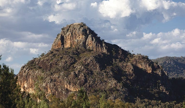
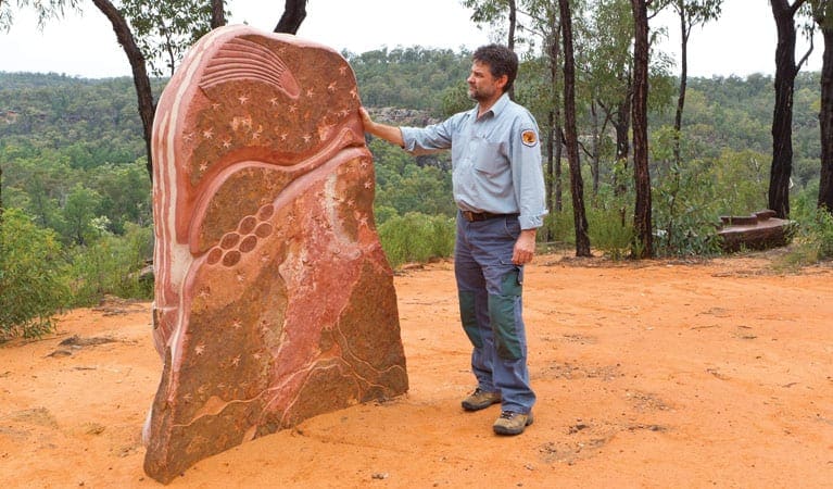
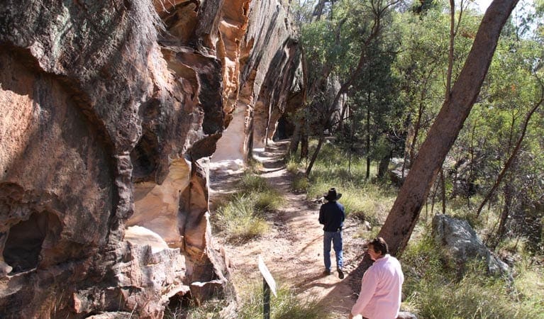
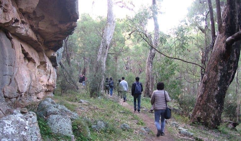
Burbie Canyon walking track is a 2km, grade 3 hike located in Warrumbungle National Park, New South Wales. The hike should take around 1.25 hours to complete.
Hike overview
Avid birdwatchers will love Burbie Canyon walking track, which offers a gentle 2km stroll past a creek and through a narrow sandstone gorge. Indeed, the birdlife is so varied here, you can't help but go birdwatching, trying to spot peregrine falcons nesting in hollows of the rock-face, or rare turquoise parrots darting overhead. This is a terrific track for families and kids as well. Though Burbie Canyon walking track is good to visit at any time of year, spring is particularly beautiful, surrounded by an abundance of wildflowers like the common parrot pea, guinea flower, and five corners, a popular bushfood. Bring the camera and enjoy the stunning ambience of the native forest. This is also a great place to see swamp and red-necked wallabies, and, if you're particularly lucky, you may even spy a koala dozing in a eucalyptus tree.
Take a virtual tour of Burbie Canyon walking track captured with Google Street View Trekker.
Route and GPX file
Help fellow hikers navigate with confidence. Share your GPX or KML file for this trail and help build a more comprehensive resource with precise waypoints and elevation profiles. Your contribution will empower adventurers with details they need for a safer and more enjoyable experience. I meticulously verify every file using official maps and surveys, ensuring the highest level of accuracy and reliability. Submit your file now and become a trailblazer for your fellow outdoor enthusiasts.
Tips
Remember to take your binoculars if you want to go birdwatching
There is limited/no mobile reception in this park
Visit NSW National Parks and Wildlife Service for more information on this trail.
The longitude and latitude of the start and end points are approximately only and should not be used for navigation purposes. Please contact me if you know the correct coordinates.
Trail location
Sorry, no records were found. Please adjust your search criteria and try again.
Sorry, unable to load the Maps API.
Getting there
To Burbie Canyon carpark. Burbie Canyon walking track is in Warrumbungle National Park. To get there:From Coonabarabran:Follow the signs to Warrumbungle National Park from Newell Highway, along John Renshaw Parkway, for approximately 33km into the centre of the park. Travel past the signs indicating campgrounds and the visitor centre, continuing west along John Renshaw Parkway for approximately 4km. Turn right off John Renshaw Parkway into Burbie Canyon carparkFrom Tooraweenah:Follow the signs east to Warrumbungle National Park, following John Renshaw Parkway. Upon entry into the park, continue along John Renshaw Parkway for approximately 3km. Burbie Canyon carpark is on the left Park entry points Burbie Canyon carpark See on map Parking Parking is available at Burbie Canyon carpark.
Gallery
If you have any photos from this hike and are happy to share them, please upload your .jpg files here.
Please note: Uploading photos does not transfer ownership of copyright away from you. If requested, you will be credited for any photos you provide and can ask they be deleted at any time.
Similar trails nearby
Explore Safe
While planning your hike, it’s important to check official government sources for updated information, temporary closures and trail access requirements. Before hitting the trail, check local weather and bushfire advice for planned burns and bushfire warnings and let someone know before you go. Plan ahead and hike safely.
Let someone know
Adventure with peace of mind: Fill out your trip intentions form. Before you hit the trail, fill out an online form to privately send important details about your hike to your family or friends. If you don’t return on time, they can easily alert emergency services, preventing worry and ensuring a swift response. Hike with peace of mind and enjoy your outdoor adventure to the fullest. Be smart, be safe: Register your plans here.
Gear to consider

My free planning, food and packing checklists provide an introduction to things your could consider (as well as the Ten Essentials) on your day, overnight and multi-day adventures. Customise your kit according to your personal needs, always considering safety first.
Suggest an edit
Does this hikes information need updating? Sometimes the route, trail features or access conditions change.
Acknowledgement of Country
Trail Hiking Australia acknowledges the Traditional Owners of the lands on which we hike and pay respects to their Elders, past and present, and we acknowledge the First Nations people of other communities who may be here today.


3 Reviews on “Burbie Canyon Walking Track (2km)”
We have done this hike 2 months ago in very hot conditions and loved it