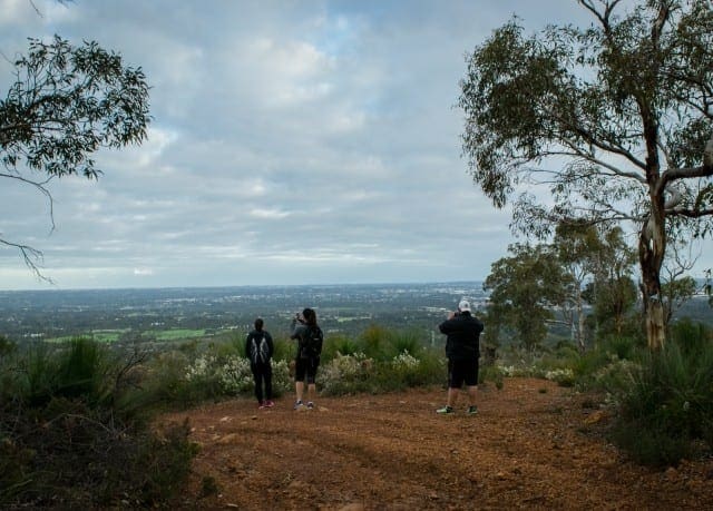
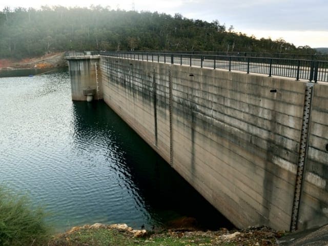
This reasonably easy 3.5km return walk in the Mundy Regional Park follows Whistlepipe Gully in the Perth Hills. The trail follows the narrow river as it courses over cascades and small waterfalls and offers views over the coastal plain to Perth.
Whistlepipe Gully flows down the edge of a large granite formation, running as a waterfall. The section of the trail near the falls is also a superb vantage point from which to see the Swan Coastal Plain, with the city of Perth visible in the distance. Take a picnic and a rug as there are lots of lovely spots to sit by the creek. The trail simply follows stream down one side and returns up the other. See trail notes below or download the map and walk notes from the Perth Hills Visitor Centre website. A curious feature on this trail is the remains of a house which spanned the falls in the 60's. It must have been a fabulous place to live but was built without the proper planning permission and had to be demolished. The best time to visit is between June and September when the creeks are flowing or September to November when the wildflowers come out in spring. Park at the western end of Orange Valley Road, Kalamunda. An alternative start point is at the northern end of Lewis Road, Forrestfield. The trail markers are Shire of Kalamunda markers with a pink corner.
Trail Head: Park at northern end of Lewis Road, Forrestfield.
- Commence walk down the right hand side of the creek.
- Cross the creek and continue down the left hand side of the creek. The site of a house that spanned the creek in the 1960s is just upstream from here.
- Continue along left hand side of the creek.
- Turn right at the end of Orange Valley Road.
- Continue up the hill along the path, keeping the creek on your right.
- Do not cross the bridge, continue downstream.
- Return to the car park.
Got some great shots from this hike? Upload your photos here to inspire others and show off the beauty of the trail!
Submitting your photos doesn’t mean you lose ownership. You can be credited for your contributions, and you can request removal at any time.
Please don’t copy GPX files or content from this site to AllTrails or other platforms. Each trail has been personally mapped, documented, and refined to support Australia’s bushwalking and hiking community. While some details come from land managers, every listing reflects significant personal effort. This is a free, community-driven initiative—your respect helps keep it that way.
Total distance: 3358 m
Max elevation: 225 m
Min elevation: 91 m
Total climbing: 150 m
Total descent: -147 m
For more information, a location map and GPS file please visit Trails WA.
Getting there
Getting to the trailhead: Kalamunda.
Closest towns to this walk: Gooseberry Hill, Lesmurdie, Maida Vale, Mundaring, Walliston
About the region
The City of Kalamunda has been a tourism destination since the early 1900's. This historic area has a great story to share, natural environment to explore and an exploding 'foodie' scene to rival Western Australia's more well-known winery regions.
Similar walks nearby
Looking for more walks in or near Kalamunda? Try these trails with a similar difficulty grade.
Favourite

Favourite

Regional Western Australia
Favourite

Favourite

Track grade
Grade 3 (Moderate) - Walks for Most Fitness Levels: Grade 3 on the
AWTGS represents moderate walking tracks. These are ideal for walkers with some fitness who are comfortable with some hills and uneven terrain. While suitable for most ages, some bushwalking experience is recommended to ensure a safe and enjoyable experience. Tracks may have short, steep hill sections, a rough surface, and many steps. The total distance of a Grade 3 walk can be up to 20 kilometers.
Explore safe
Plan ahead and hike safely! Carry enough water, pack layers for changing conditions, and bring safety gear like a torch, PLB, and reliable communication device. Check official sources for trail updates, closures, and access requirements, and review local weather and bushfire advice. Most importantly, share your plans with someone before you go. Being prepared makes for a safer and more enjoyable hike! Stay Safe, Explore More, and Always #ExploreSafe.
Packing checklists
What you carry in your pack depends on factors like weather, terrain, and your adventure type. Not sure what to bring? My free planning, food, and packing checklists are a great starting point, covering day hikes, overnight trips, and multi-day adventures. Use them to customise your kit and always prioritise safety.
Let someone know
Before heading out, take a moment to fill out your trip intentions form. It’s a quick way to share your hike details with family or friends. If something goes wrong, they can notify emergency services, ensuring a faster response and peace of mind. Stay safe and enjoy your adventure
Suggest an edit
Spotted a change on this trail? Maybe there are new features, the route has shifted, or the trail is permanently closed. Whatever the update, I’d love your input. Your feedback helps fellow hikers stay informed and ensures that our trail info stays fresh and reliable.


