Hike at a Glance
Max elevation: 0m
Min elevation: 0m
Total Ascent: 0m
Hike overview
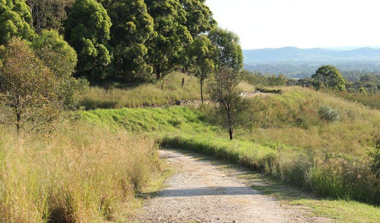
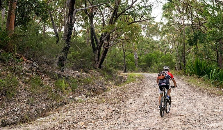
A fantastic birdwatching walk, Thirlmere Lakes walking track is unmarked but well-defined. Setting out from Couridjah picnic area, the flat, enjoyable 6km loop joins Dry Lakes Road and passes Werri Berri picnic area and Heritage Pump Station as you return along Slades Road. Even though there's no directional signage, you'll have no trouble finding your way.
Encircling three of the lakes - Gandangarra, Werri-Berri and Couridjah - here you'll see many of the 140+ species of waders, waterfoul and woodland birds that visit the area. Among them are white-faced herons, musk ducks, pacific black ducks, pied cormorants, Australasian grebes, and white-bellied sea eagles.
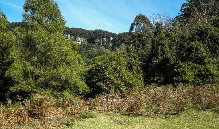
The mild weather of spring and autumn is the best time to enjoy this pretty walk and admire the lovely ground orchids, wetland and woodland vegetation, as well as aquatic plants.
Tips
Remember to take your binoculars if you want to birdwatch.
There is limited/no mobile reception in this park.
Visit NSW National Parks and Wildlife Service for more information on this trail.
The longitude and latitude of the start and end points are approximately only and should not be used for navigation purposes. Please contact me if you know the correct coordinates.
Gallery
Got some great shots from this hike? Upload your photos here to inspire others and show off the beauty of the trail!
Click to view form >>
Submitting your photos doesn’t mean you lose ownership. You can be credited for your contributions, and you can request removal at any time.
Content use
Please don’t copy GPX files or content from this site to AllTrails or other platforms. Each trail has been personally mapped, documented, and refined to support Australia’s bushwalking and hiking community. While some details come from land managers, every listing reflects significant personal effort. This is a free, community-driven initiative—your respect helps keep it that way.
Walk map and GPX file
It looks like I don’t have a GPX file for this trail yet. If you have one to share, please email it to me! I’ll verify it against official maps before adding it to help other hikers have a safer, easier experience. Thanks for contributing to a better hiking resource.
Getting there
Getting to the trailhead: Thirlmere Lakes National Park.
Thirlmere Lakes walking track starts at Couridjah picnic area in the southern precinct of Thirlmere Lakes National Park. To get there:If travelling north from Buxton on West Parade, turn left into Slades Road or Pumphouse Road.If travelling south from Picton, turn right onto Slades Road and continue to the picnic area, which will be on the left. Parking Parking is available at Couridjah picnic area.
Closest towns to this walk: Buxton, Camden, Picton, Tahmoor, Thirlmere
About the region
Thirlmere Lakes National Park is part of the Greater Blue Mountains World Heritage Area, and makes a great day trip from Sydney. Birdwatchers should keep an eye out for some of the 140 birds that inhabit the park, including the white-faced heron, musk duck, and white-bellied sea eagle. Many native Australian plants can also be found here. The mild weather of spring is a great time to admire the colourful ground orchids.
Thirlmere Lakes National Park is named for its 5 freshwater lakes, which are thought to be around 15 million years old. There's no swimming or canoeing in the lakes due to low water levels.
Similar walks nearby
Looking for more walks in or near Thirlmere Lakes National Park? Try these trails with a similar difficulty grade.
Track grade
Grade 5 (Difficult) - Walks for the Most Experienced: Grade 5 represents the most challenging walking tracks on the AWTGS. These are only recommended for very experienced and fit walkers with specialised skills, including navigation and emergency first aid. Tracks are likely to be very rough, very steep, and unmarked. Walks may be more than 20 kilometers. These challenging walks demand a high level of fitness and experience to navigate difficult terrain, significant elevation changes, and potentially unformed paths.
Explore safe
Plan ahead and hike safely! Carry enough water, pack layers for changing conditions, and bring safety gear like a torch, PLB, and reliable communication device. Check official sources for trail updates, closures, and access requirements, and review local weather and bushfire advice. Most importantly, share your plans with someone before you go. Being prepared makes for a safer and more enjoyable hike! Stay Safe, Explore More, and Always #ExploreSafe.
Packing checklists
What you carry in your pack depends on factors like weather, terrain, and your adventure type. Not sure what to bring? My free planning, food, and packing checklists are a great starting point, covering day hikes, overnight trips, and multi-day adventures. Use them to customise your kit and always prioritise safety.
Let someone know
Before heading out, take a moment to fill out your trip intentions form. It’s a quick way to share your hike details with family or friends. If something goes wrong, they can notify emergency services, ensuring a faster response and peace of mind. Stay safe and enjoy your adventure
Suggest an edit
Spotted a change on this trail? Maybe there are new features, the route has shifted, or the trail is permanently closed. Whatever the update, I’d love your input. Your feedback helps fellow hikers stay informed and ensures that our trail info stays fresh and reliable.
Acknowledgement of Country
Trail Hiking Australia acknowledges the Traditional Owners of the lands on which we hike and pay respects to their Elders, past and present, and we acknowledge the First Nations people of other communities who may be here today.


