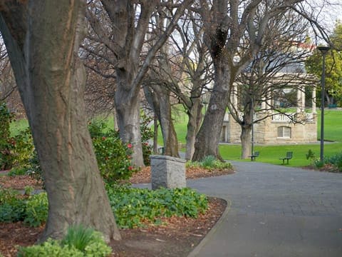
You can access Taroona’s popular foreshore track from many streets leading down to the Derwent River. The Taroona Foreshore Discovery Trail is a 4 km, grade 2 hike in Taroona, Tasmania, and typically takes around 1.25 hours to complete. Starting at Madge Park, the track gently winds along the coastline, passing Hinsby and Taroona beaches, and through remnants of coastal bushland.
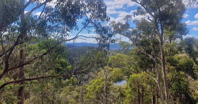
The canopy along the trail includes blue gums, black gums, sheoaks, and blackwoods, with an understorey of hopbush, banksias, coast wattle, saltbush, and grasses. Enjoy views south to the Alum Cliffs and the Shot Tower, as well as across the Derwent River to Opossum Bay and South Arm.
Historically, the foreshore was a popular gathering place for the Mouhenneener Aboriginal people. The name ‘Taroona’ comes from the Aboriginal word for chiton (kytun), a shellfish found along the foreshore. Today, the Taroona Environment Network, a local volunteer group, helps care for the coastal foreshore and its gullies.
The trail extends just beyond Hinsby Beach, where you can turn around and retrace your steps back to the starting point.
Got some great shots from this hike? Upload your photos here to inspire others and show off the beauty of the trail!
Submitting your photos doesn’t mean you lose ownership. You can be credited for your contributions, and you can request removal at any time.
Please don’t copy GPX files or content from this site to AllTrails or other platforms. Each trail has been personally mapped, documented, and refined to support Australia’s bushwalking and hiking community. While some details come from land managers, every listing reflects significant personal effort. This is a free, community-driven initiative—your respect helps keep it that way.
Total distance: 3953 m
Max elevation: 50 m
Min elevation: 6 m
Total climbing: 75 m
Total descent: -75 m
For more information on this trail, visit Greater Hobart Trails
Getting there
Getting to the trailhead: Taroona.
Taroona Foreshore Track can be accessed from numerous locations including Melinga Place, Wandella Ave, Jenkins St, Hinsby Rd, Illawong Cres, Devon Walk and Kelvedon Ave.
Closest towns to this walk: Blackmans Bay, Hobart, Kingston, Sandy Bay, South Hobart, Taroona
About the region
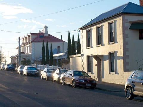
Taroona is a major residential suburb approximately 15 minutes drive from the centre of Hobart, Tasmania on the scenic route between Hobart and Kingston. Although on the edges of the City of Hobart, Taroona is actually part of the municipality of Kingborough. Taroona is an Aboriginal word meaning sea-shell, specifically that of a 'Chiton'. The traditional owners of the lands now known as Taroona were the Aboriginal people of the Derwent estuary known as the Mouheneener people. Relatively little is known about the indigenous people's use of these lands, although some shell middens are said to have been found along the shorelines.
Similar walks nearby
Looking for more walks in or near Taroona? Try these trails with a similar difficulty grade.
Favourite

Favourite

Favourite

Favourite

Track grade
Grade 2 (Easy) - A Gentle Introduction to Inclines: Grade 2 on the
AWTGS represents easy walking tracks that offer a slightly more challenging experience compared to Grade 1. Similar to Grade 1, no prior bushwalking experience is required. The track surface is typically hardened or compacted and may have gentle hill sections or occasional steps. The total distance of a Grade 2 walk is typically no greater than 10 kilometers. These walks are still suitable for families with a bit more experience or those seeking a gentle introduction to some inclines.
Explore safe
Plan ahead and hike safely! Carry enough water, pack layers for changing conditions, and bring safety gear like a torch, PLB, and reliable communication device. Check official sources for trail updates, closures, and access requirements, and review local weather and bushfire advice. Most importantly, share your plans with someone before you go. Being prepared makes for a safer and more enjoyable hike! Stay Safe, Explore More, and Always #ExploreSafe.
Packing checklists
What you carry in your pack depends on factors like weather, terrain, and your adventure type. Not sure what to bring? My free planning, food, and packing checklists are a great starting point, covering day hikes, overnight trips, and multi-day adventures. Use them to customise your kit and always prioritise safety.
Let someone know
Before heading out, take a moment to fill out your trip intentions form. It’s a quick way to share your hike details with family or friends. If something goes wrong, they can notify emergency services, ensuring a faster response and peace of mind. Stay safe and enjoy your adventure
Suggest an edit
Spotted a change on this trail? Maybe there are new features, the route has shifted, or the trail is permanently closed. Whatever the update, I’d love your input. Your feedback helps fellow hikers stay informed and ensures that our trail info stays fresh and reliable.


