Hike at a Glance
Max elevation: 659m
Min elevation: 235m
Total Ascent: 616m
Important info
This park is in a remote location, so please ensure you're well-prepared, bring appropriate clothing and equipment and advise a family member or friend of your travel plans.
Hike overview
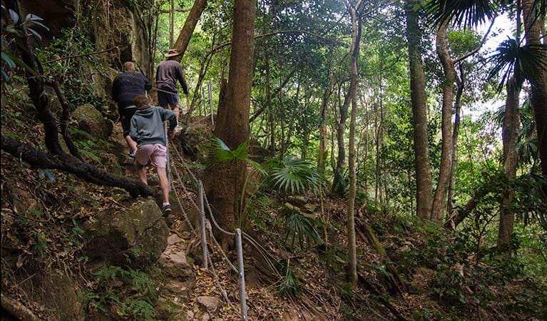
Starlights trail is a scenic bushwalk, suited to experienced hikers, which forms part the Greater Blue Mountains trail network between Mittagong and Katoomba.
Starlights trail is part of the greater trail network between Mittagong and Katoomba, where you can walk for up to seven days in complete, untouched wilderness.
A favourite bushwalker's hike, this walk runs through Nattai National Park and into Nattai Wilderness, with astonishing views of Nattai River and its surrounding cliffs.
Along the way, you'll enjoy majestic views from Ahearn lookout of cliffs and bluffs. Walkers travelling south of Emmetts Flat can also see glimpses of the towering Russell's needle sandstone spur and Mount Jellore.
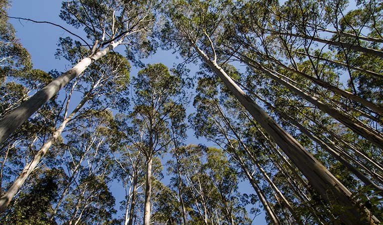
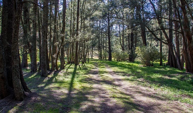
Many eucalyptus trees will line your path, as well as pockets of blue-leaved stringybark forest and, on Nattai River, majestic stands of Nattai Sandstone River peppermint forest.
Tips
You'll need to bring your own drinking and cooking water
You're encouraged to bring gas or fuel stoves, especially in summer during the fire season.
Gallery
Got some great shots from this hike? Upload your photos here to inspire others and show off the beauty of the trail!
Click to view form >>
Submitting your photos doesn’t mean you lose ownership. You can be credited for your contributions, and you can request removal at any time.
Content use
Please don’t copy GPX files or content from this site to AllTrails or other platforms. Each trail has been personally mapped, documented, and refined to support Australia’s bushwalking and hiking community. While some details come from land managers, every listing reflects significant personal effort. This is a free, community-driven initiative—your respect helps keep it that way.
Walk map and GPX file
Max elevation: 659 m
Min elevation: 235 m
Total climbing: 616 m
Total descent: -616 m
Getting there
Getting to the trailhead: Nattai National Park.
Start from the end of Wattle Ridge Road west of the township of Hilltop. A visitor carpark with visitor information is located at the start of the walk at Wattle Ridge carpark. Walkers then access the Nattai Road fire trail then deviate onto the Starlight’s trail, dropping into the Nattai Valley. Parking is available at Wattle Ridge carpark.
Closest towns to this walk: Bargo, Bowral, Douglas Park, Mittagong, Picton, Thirlmere
About the region
Nattai National Park has plenty of astonishing beauty on offer, including Nattai River, the dominant Hawkesbury sandstone cliffs, and the inspiring views out over the park from Mount Jellore.
Throughout the park, you'll spot a large variety of animals, like wallaroos, emus, wallabies, grey kangaroos, wombats, and dingos. There are also over 160 species of birds in the area, including some truly magnificent owls and birds of prey. Keep your eyes open for platypus in the river, squirrel gliders and koalas in the trees, and rock wallabies on the ground.
You can enjoy rugged hiking in an amazing setting of giant, craggy sandstone cliffs and unspoilt bushland nestled amidst the peace and tranquillity of the valley. Try Starlight's trail or Couridjah Corridor walk. There's also a remote campground by the Nattai River known as Emitts Flat, which can be found at the end of Starlight's trail.
Similar walks nearby
Looking for more walks in or near Nattai National Park? Try these trails with a similar difficulty grade.
Track grade
Grade 4 (Hard) - Challenging Walks for Experienced Walkers: Grade 4 on the AWTGS signifies challenging walking tracks. Bushwalking experience is recommended for these tracks, which may be long, rough, and very steep. Directional signage may be limited, requiring a good sense of navigation. These walks are suited for experienced walkers who are comfortable with steeper inclines, rougher terrain, and potentially longer distances.
Explore safe
Plan ahead and hike safely! Carry enough water, pack layers for changing conditions, and bring safety gear like a torch, PLB, and reliable communication device. Check official sources for trail updates, closures, and access requirements, and review local weather and bushfire advice. Most importantly, share your plans with someone before you go. Being prepared makes for a safer and more enjoyable hike! Stay Safe, Explore More, and Always #ExploreSafe.
Packing checklists
What you carry in your pack depends on factors like weather, terrain, and your adventure type. Not sure what to bring? My free planning, food, and packing checklists are a great starting point, covering day hikes, overnight trips, and multi-day adventures. Use them to customise your kit and always prioritise safety.
Let someone know
Before heading out, take a moment to fill out your trip intentions form. It’s a quick way to share your hike details with family or friends. If something goes wrong, they can notify emergency services, ensuring a faster response and peace of mind. Stay safe and enjoy your adventure
Suggest an edit
Spotted a change on this trail? Maybe there are new features, the route has shifted, or the trail is permanently closed. Whatever the update, I’d love your input. Your feedback helps fellow hikers stay informed and ensures that our trail info stays fresh and reliable.
Acknowledgement of Country
Trail Hiking Australia acknowledges the Traditional Owners of the lands on which we hike and pay respects to their Elders, past and present, and we acknowledge the First Nations people of other communities who may be here today.


