Hike at a Glance
Max elevation: 0m
Min elevation: 0m
Total Ascent: 0m
Hike overview
The short South Head Heritage trail offers something for everyone: incredible beach and harbour views, a glimpse into history and excellent whale watching opportunities.
Starting at Camp Cove in Watsons Bay, this short walk takes you on a stroll along an 1870s cobblestone road past Lady Bay Beach, before reaching historic Hornby Lighthouse with its distinctive red and white stripes. Take some time to explore the gun emplacements and keep your eyes open if you're there during whale watching season.
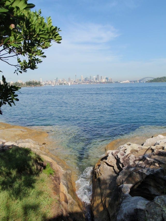
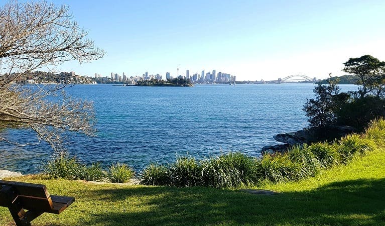
The spectacular views of Sydney are sure to astound you, with Sydney Harbour to the west, Middle Head and North Head to the north, and the expansive Pacific Ocean to the east; and leave you wanting to explore more of Sydney Harbour National Park.
Take a virtual tour of South Head Heritage trail captured with Google Street View Trekker.
Gallery
Got some great shots from this hike? Upload your photos here to inspire others and show off the beauty of the trail!
Click to view form >>
Submitting your photos doesn’t mean you lose ownership. You can be credited for your contributions, and you can request removal at any time.
Content use
Please don’t copy GPX files or content from this site to AllTrails or other platforms. Each trail has been personally mapped, documented, and refined to support Australia’s bushwalking and hiking community. While some details come from land managers, every listing reflects significant personal effort. This is a free, community-driven initiative—your respect helps keep it that way.
Walk map and GPX file
It looks like I don’t have a GPX file for this trail yet. If you have one to share, please email it to me! I’ll verify it against official maps before adding it to help other hikers have a safer, easier experience. Thanks for contributing to a better hiking resource.
Getting there
Getting to the trailhead: Sydney Harbour National Park.
To Camp Cove carpark. South Head Heritage trail is in the South Head precinct of Sydney Harbour National Park. To get there:Drive along New South Head Road past Vaucluse to the endTurn right into Robertson Road, then left into Military Road, which becomes Cliff Road.Turn left onto Short Street then right into Cove Street and right onto Victoria StreetContinue to the end and leave the car at Camp Cove carparkThe walk begins near Camp Cove Kiosk.Alternatively, the Eastern Suburbs Ferry from Circular Quay, as well as buses 324, 325 and 380, stop a short walk from Camp Cove. Check out the Transport Info website for more information. Park entry points Camp Cove carpark See on map Parking Parking is available at Camp Cove carpark, including several designated disabled spots.
Visit NSW National Parks and Wildlife Service for more information on this trail.
The longitude and latitude of the start and end points are approximately only and should not be used for navigation purposes. Please contact me if you know the correct coordinates.
Closest towns to this walk: Balmain, Balmoral, Chatswood, Cremorne, Darling Harbour, Darling Point, Darlinghurst, Dee Why, Frenchs Forest, Glebe, Kirribilli, Manly, Mosman, Neutral Bay, North Sydney, Pyrmont, Rose Bay, Rozelle, Sydney, Terrey Hills, Vaucluse, Watsons Bay, Woolloomooloo
About the region
Sydney Harbour National Park protects islands and foreshore around Sydney Harbour. Explore Sydney's history on a school excursion or guided tour to enjoy coastal walks, picnics and swimming. Sydney Harbour National Park protects a number of islands and foreshore areas around one of the world's most famous harbours. The park is home to superb swimming spots, bushwalking tracks and picnic areas, which offer a huge range of activities that will have you coming back again and again.
See native wildlife living in rare pockets of bushland once common around Sydney, or take a fascinating walk to explore the park's cultural history. You'll see everything from convict-built buildings and military fortifications to Aboriginal sites and a heritage lighthouse. And with the harbour's staggering coastline creating an endless natural lookout, the park's jaw-dropping views simply have to be seen to be believed. If you're at one of the park's lookouts during winter, be sure to keep a lookout for whales on their annual migration north.
Similar walks nearby
Looking for more walks in or near Sydney Harbour National Park? Try these trails with a similar difficulty grade.
Track grade
Grade 3 (Moderate) - Walks for Most Fitness Levels: Grade 3 on the AWTGS represents moderate walking tracks. These are ideal for walkers with some fitness who are comfortable with some hills and uneven terrain. While suitable for most ages, some bushwalking experience is recommended to ensure a safe and enjoyable experience. Tracks may have short, steep hill sections, a rough surface, and many steps. The total distance of a Grade 3 walk can be up to 20 kilometers.
Explore safe
Plan ahead and hike safely! Carry enough water, pack layers for changing conditions, and bring safety gear like a torch, PLB, and reliable communication device. Check official sources for trail updates, closures, and access requirements, and review local weather and bushfire advice. Most importantly, share your plans with someone before you go. Being prepared makes for a safer and more enjoyable hike! Stay Safe, Explore More, and Always #ExploreSafe.
Packing checklists
What you carry in your pack depends on factors like weather, terrain, and your adventure type. Not sure what to bring? My free planning, food, and packing checklists are a great starting point, covering day hikes, overnight trips, and multi-day adventures. Use them to customise your kit and always prioritise safety.
Let someone know
Before heading out, take a moment to fill out your trip intentions form. It’s a quick way to share your hike details with family or friends. If something goes wrong, they can notify emergency services, ensuring a faster response and peace of mind. Stay safe and enjoy your adventure
Suggest an edit
Spotted a change on this trail? Maybe there are new features, the route has shifted, or the trail is permanently closed. Whatever the update, I’d love your input. Your feedback helps fellow hikers stay informed and ensures that our trail info stays fresh and reliable.
Acknowledgement of Country
Trail Hiking Australia acknowledges the Traditional Owners of the lands on which we hike and pay respects to their Elders, past and present, and we acknowledge the First Nations people of other communities who may be here today.


