Hike at a Glance
Max elevation: 1238m
Min elevation: 618m
Total Ascent: 869m
Hike overview
The Scutts Hut and Kurrawonga Falls walk is an incredible hiking experience nestled in Mount Kaputar National Park, just outside Narrabri, in Country New South Wales. This 20-kilometre trail is a challenging, grade 5 hike that typically takes around 11 hours to complete. The route offers hikers a blend of natural beauty and historical intrigue, making it a rewarding adventure for those ready to take on a more demanding walk.
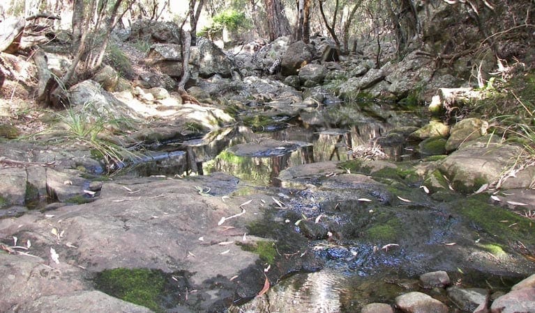
The hike begins at Scutts Hut, an early pioneer shelter dating back to the 1930s, offering a glimpse into the past. As you make your way along the 1.7-kilometre marked track, the scenery gradually opens up to showcase the rugged, mountainous landscape that defines the park. From here, the trail becomes more demanding. The final stretch to Kurrawonga Falls involves a 450-metre, steep and unmarked descent. Keep your eyes peeled for the fence that guides you down to Horsearm Creek, just above the falls.
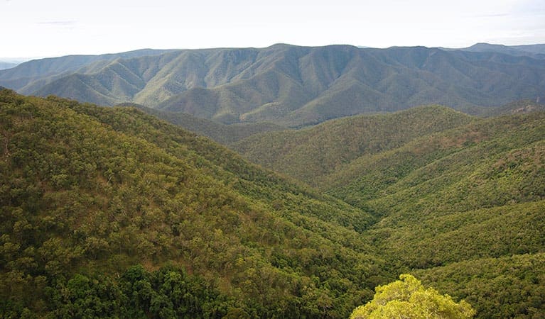
The walk takes you through a diverse woodland environment, with silvertop stringybarks, mountain gums, and rough bark apples creating a natural canopy overhead. If you’re a birdwatching enthusiast, this area is rich with opportunities to spot local wildlife. Given the challenging terrain, you might find it beneficial to camp overnight near Scutts Hut, allowing you to rest and recharge before tackling the steep sections. This hike isn’t for the faint of heart, but the reward of reaching Kurrawonga Falls, with its serene atmosphere and surrounding beauty, makes every step worthwhile.
Tips
- Always inform someone about your plans before heading out. Complete a trip intention form to share essential details of your hike with your emergency contact.
- Be sure to pack a hat, sunscreen, and plenty of drinking water to stay protected and hydrated.
- For your safety, camping or lighting fires is not permitted within 20 metres of the hut.
- The weather in this area can be extreme and unpredictable, so come prepared for any conditions.
- Be aware that mobile reception is limited in the park, so plan accordingly.
- If you're keen on birdwatching, don’t forget to bring binoculars for a closer look.
Gallery
Got some great shots from this hike? Upload your photos here to inspire others and show off the beauty of the trail!
Click to view form >>
Submitting your photos doesn’t mean you lose ownership. You can be credited for your contributions, and you can request removal at any time.
Content use
Please don’t copy GPX files or content from this site to AllTrails or other platforms. Each trail has been personally mapped, documented, and refined to support Australia’s bushwalking and hiking community. While some details come from land managers, every listing reflects significant personal effort. This is a free, community-driven initiative—your respect helps keep it that way.
Walk map and GPX file
Max elevation: 1238 m
Min elevation: 618 m
Total climbing: 869 m
Total descent: -869 m
Getting there
Getting to the trailhead: Mount Kaputar National Park.
To reach the trailhead for the Scutts Hut and Kurrawonga Falls walk, start by heading south from Narrabri on Old Gunnedah Road. After approximately 2.5 kilometres, turn left onto Kaputar Road and continue for 27 kilometres until you reach the Mount Kaputar National Park entrance. From there, drive another 14 kilometres, where you’ll find the Bark Hut turn-off on the right. The trailhead for Scutts Hut is about 100 metres past the Bark Hut picnic area and campground turn-off. Note that the road from the park entrance is steep and narrow, with no access for caravans. Parking is available at the Bark Hut, which serves as a convenient base for your hike.
Closest towns to this walk: Baan Baa, Baradine, Bellata, Bingara, Bundarra, Coonabarabran, Gunnedah, Manilla, Moree, Narrabri, Walgett, Wee Waa
About the region
Mount Kaputar National Park offers a captivating escape into nature, nestled in the rugged mountain range of northern New South Wales. About an hour's drive from Narrabri, the park is a haven for those looking to immerse themselves in a diverse landscape of towering forests, striking rock formations, and breathtaking views. Whether you're looking for a relaxing break or an adventurous getaway, Mount Kaputar has something for everyone.
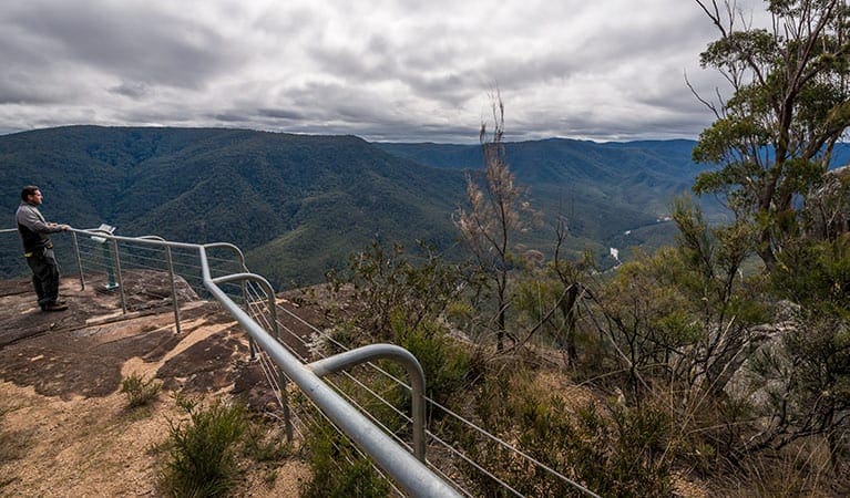
The park is ideal for outdoor enthusiasts, with plenty of activities to keep you busy. You can take in panoramic views from the park’s lookouts, enjoy a quiet picnic or a casual barbecue, or stay overnight in one of the park's charming campgrounds or cabins. For birdwatching lovers, bring your binoculars to spot a wide variety of species, and if you’re there after dark, keep an eye out for possums and greater gliders. If you're after something more active, the park boasts a network of walking trails, cycling routes, and horse riding paths, each offering a unique way to experience the stunning surroundings.
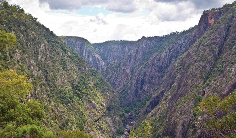
The park’s dramatic landscape tells the story of ancient geological forces. Two long-extinct volcanoes pushed the mountains high above the plains, and millions of years of erosion have shaped narrow valleys and steep ridges. Many of the mountains are remnants of ancient lava terraces, with Lindsay Rock Tops offering a striking example of this unique terrain. For a truly spectacular sight, visit Sawn Rocks to see one of Australia's most impressive rock formations, known as organ-piping. These towering columns of basalt are an awe-inspiring sight, resembling a wall of giant organ pipes.
With so much to explore, Mount Kaputar National Park offers more than just a day trip. For those wanting to stay longer, there are plenty of scenic spots perfect for camping, picnicking, and relaxing. For the more adventurous, test your skills on the mountain bike tracks or hike up Mount Kaputar Road to the Kaputar Plateau. Or, take the challenging Barraba track for a thrilling ride through the park's rugged beauty. Whether you're stopping for a picnic or venturing out on a longer hike, don’t miss the stunning Sawn Rocks formation. With so much to see and do, you might find it worthwhile to book a cabin or set up camp for a few days and fully enjoy everything this remarkable park has to offer.
Similar walks nearby
Looking for more walks in or near Mount Kaputar National Park? Try these trails with a similar difficulty grade.
Track grade
Grade 5 (Difficult) - Walks for the Most Experienced: Grade 5 represents the most challenging walking tracks on the AWTGS. These are only recommended for very experienced and fit walkers with specialised skills, including navigation and emergency first aid. Tracks are likely to be very rough, very steep, and unmarked. Walks may be more than 20 kilometers. These challenging walks demand a high level of fitness and experience to navigate difficult terrain, significant elevation changes, and potentially unformed paths.
Explore safe
Plan ahead and hike safely! Carry enough water, pack layers for changing conditions, and bring safety gear like a torch, PLB, and reliable communication device. Check official sources for trail updates, closures, and access requirements, and review local weather and bushfire advice. Most importantly, share your plans with someone before you go. Being prepared makes for a safer and more enjoyable hike! Stay Safe, Explore More, and Always #ExploreSafe.
Packing checklists
What you carry in your pack depends on factors like weather, terrain, and your adventure type. Not sure what to bring? My free planning, food, and packing checklists are a great starting point, covering day hikes, overnight trips, and multi-day adventures. Use them to customise your kit and always prioritise safety.
Let someone know
Before heading out, take a moment to fill out your trip intentions form. It’s a quick way to share your hike details with family or friends. If something goes wrong, they can notify emergency services, ensuring a faster response and peace of mind. Stay safe and enjoy your adventure
Suggest an edit
Spotted a change on this trail? Maybe there are new features, the route has shifted, or the trail is permanently closed. Whatever the update, I’d love your input. Your feedback helps fellow hikers stay informed and ensures that our trail info stays fresh and reliable.
Acknowledgement of Country
Trail Hiking Australia acknowledges the Traditional Owners of the lands on which we hike and pay respects to their Elders, past and present, and we acknowledge the First Nations people of other communities who may be here today.


