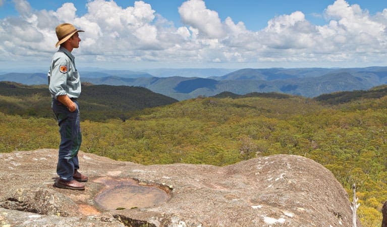
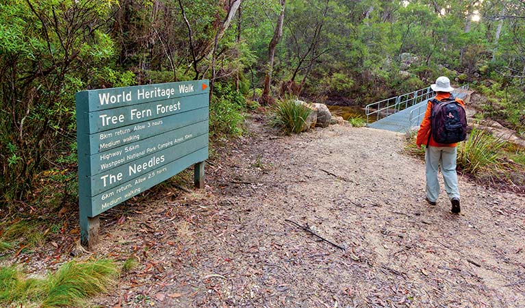
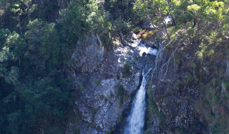
Walk the banks of Little Dandahra Creek, through eucalypt forest and rainforest, and arrive at a creek junction that narrows to where Murrumbooee Cascades plunge over the edge of the escarpment. This is the site of entrepreneur Bill Mulligan's second weir, built in the 1920s, to measure waterflow from his proposed hydro-electric scheme. Keep an eye out along the way for lyrebirds, which inhabit the rainforest, and listen for the rare rufous scrub-bird. Binoculars will come in handy if you enjoy birdwatching.
During warmer weather, the crystal clear waters of Murrumbooee Cascades are an ideal place for a swim. Pack a picnic and spend a few hours in this superb section of Gibraltar Range National Park with family and friends, or just take some time out from everyone and everything.
Got some great shots from this hike? Upload your photos here to inspire others and show off the beauty of the trail!
Submitting your photos doesn’t mean you lose ownership. You can be credited for your contributions, and you can request removal at any time.
Please don’t copy GPX files or content from this site to AllTrails or other platforms. Each trail has been personally mapped, documented, and refined to support Australia’s bushwalking and hiking community. While some details come from land managers, every listing reflects significant personal effort. This is a free, community-driven initiative—your respect helps keep it that way.
It looks like I don’t have a GPX file for this trail yet. If you have one to share, please email it to me! I’ll verify it against official maps before adding it to help other hikers have a safer, easier experience. Thanks for contributing to a better hiking resource.
Getting there
Getting to the trailhead: Gibraltar Range National Park.
Murrumbooee Cascades walking track is in the Mulligans precinct of Gibraltar Range National Park. To get there:Travel 68km east from Glen Innes or 92km west from Grafton, along Gwydir Highway.Take Mulligans Drive entrance to Gibraltar Range National ParkDrive for 9km to reach Mulligans precinct Parking Parking is available in Mulligans precinct, a short walk from the trailhead.
Visit NSW National Parks and Wildlife Service for more information on this trail.
The longitude and latitude of the start and end points are approximately only and should not be used for navigation purposes. Please contact me if you know the correct coordinates.
Closest towns to this walk: Armidale, Ashford, Baryulgil, Dalmorton, Deepwater, Ebor, Emmaville, Ewingar, Glen Innes, Guyra, Inverell, Mount Mitchell, Tenterfield, Tingha
About the region
Gibraltar Range National Park in the North Coast and Country NSW regions
Gibraltar Range National Park is always open but may have to close at times due to poor weather, road damage, or high fire danger.
Similar walks nearby
Looking for more walks in or near Gibraltar Range National Park? Try these trails with a similar difficulty grade.
Favourite

Gibraltar Range National Park
Favourite

Gibraltar Range National Park
Favourite

Gibraltar Range National Park
Favourite

Guy Fawkes River National Park
Track grade
Grade 4 (Hard) -
Challenging Walks for Experienced Walkers: Grade 4 on the
AWTGS signifies challenging walking tracks. Bushwalking experience is recommended for these tracks, which may be long, rough, and very steep. Directional signage may be limited, requiring a good sense of navigation. These walks are suited for experienced walkers who are comfortable with steeper inclines, rougher terrain, and potentially longer distances.
Explore safe
Plan ahead and hike safely! Carry enough water, pack layers for changing conditions, and bring safety gear like a torch, PLB, and reliable communication device. Check official sources for trail updates, closures, and access requirements, and review local weather and bushfire advice. Most importantly, share your plans with someone before you go. Being prepared makes for a safer and more enjoyable hike! Stay Safe, Explore More, and Always #ExploreSafe.
Packing checklists
What you carry in your pack depends on factors like weather, terrain, and your adventure type. Not sure what to bring? My free planning, food, and packing checklists are a great starting point, covering day hikes, overnight trips, and multi-day adventures. Use them to customise your kit and always prioritise safety.
Let someone know
Before heading out, take a moment to fill out your trip intentions form. It’s a quick way to share your hike details with family or friends. If something goes wrong, they can notify emergency services, ensuring a faster response and peace of mind. Stay safe and enjoy your adventure
Suggest an edit
Spotted a change on this trail? Maybe there are new features, the route has shifted, or the trail is permanently closed. Whatever the update, I’d love your input. Your feedback helps fellow hikers stay informed and ensures that our trail info stays fresh and reliable.


