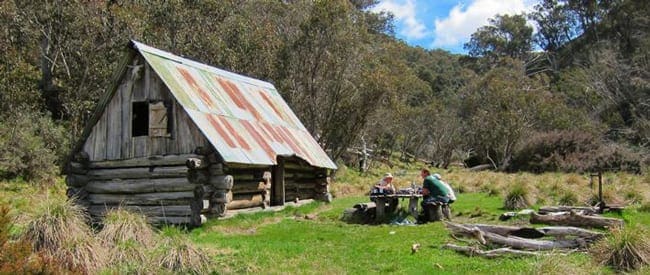
The Mount Tabletop hike begins at the treeline on the south east corner of JB Plain about 0.5 km from JB Hut, beyond a solitary strainer post.
After a few minutes the trail emerges from woodland to a small grassy plain. In this area the remnants of log fencing and a gate are evident. Cattle were grazed here in the summer months for 100 years until 1989 when the Alpine National Park was created.
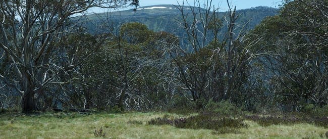
On the far side of the plain the track enters sub-alpine forest and drops steeply down to Tabletop Creek. Mount Tabletop can be glimpsed to the south through the trees. From here the track rises slightly before skirting the southern edge of another grassy plain.
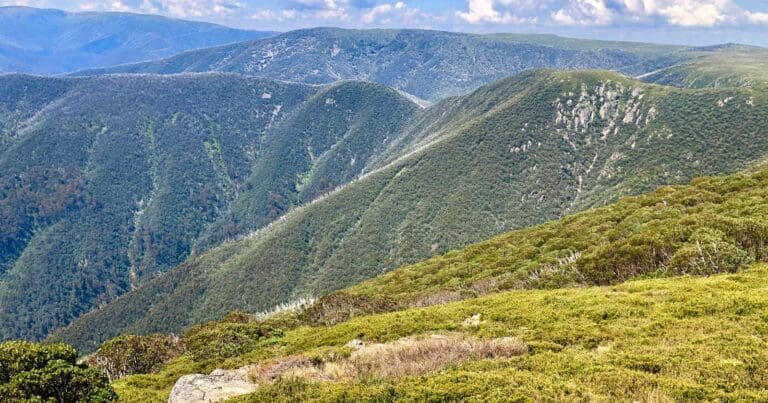
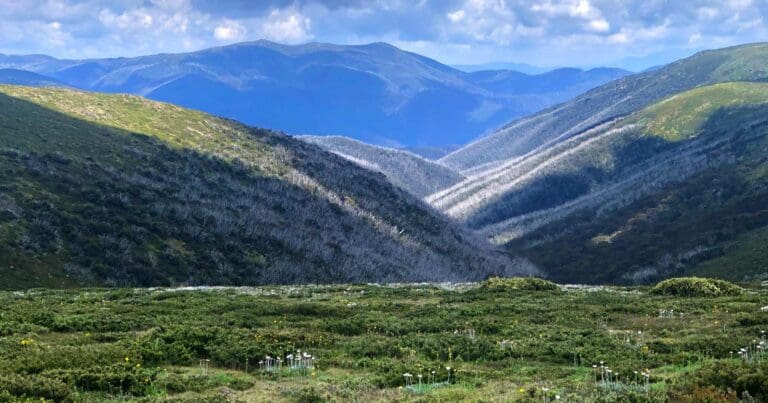
From here the hike follows the southerly spur that links the Great Dividing Range with Mount Tabletop. This section of the spur was burnt in the 2003 bushfires and again in 2013. Some of this area has been aerially reseeded with Alpine Ash to help stimulate regrowth, some of it now 2-3 metres tall and quite dense in places. The final 0.5 km of track climbs steeply to the northern edge of the mountain. There are panoramic views in all directions from the summit.
Return via the same route.
Got some great shots from this hike? Upload your photos here to inspire others and show off the beauty of the trail!
Submitting your photos doesn’t mean you lose ownership. You can be credited for your contributions, and you can request removal at any time.
Please don’t copy GPX files or content from this site to AllTrails or other platforms. Each trail has been personally mapped, documented, and refined to support Australia’s bushwalking and hiking community. While some details come from land managers, every listing reflects significant personal effort. This is a free, community-driven initiative—your respect helps keep it that way.
Total distance: 4968 m
Max elevation: 1636 m
Min elevation: 1435 m
Total climbing: 198 m
Total descent: -250 m
Getting there
Getting to the trailhead: Alpine National Park.
Closest towns to this walk: Benalla, Bright, Dinner Plain, Falls Creek, Harrietville, Hotham Heights, Mansfield, Mitta Mitta, Mount Beauty, Mount Hotham, Myrtleford, Omeo, Porepunkah, Tawonga South, Wangaratta
About the region
The Alpine National Park is a national park in the Central Highlands and Alpine regions of Victoria, Australia. The 646,000-hectare national park is located northeast of Melbourne. It is the largest National Park in Victoria, and covers much of the higher areas of the Great Dividing Range in Victoria, including Victoria's highest point, Mount Bogong at 1,986 metres and the associated subalpine woodland and grassland of the Bogong High Plains. The park's north-eastern boundary is along the border with New South Wales, where it abuts the Kosciuszko National Park.
Similar walks nearby
Looking for more walks in or near Alpine National Park? Try these trails with a similar difficulty grade.
Favourite

Favourite

Favourite

Favourite

Track grade
Grade 4 (Hard) -
Challenging Walks for Experienced Walkers: Grade 4 on the
AWTGS signifies challenging walking tracks. Bushwalking experience is recommended for these tracks, which may be long, rough, and very steep. Directional signage may be limited, requiring a good sense of navigation. These walks are suited for experienced walkers who are comfortable with steeper inclines, rougher terrain, and potentially longer distances.
Explore safe
Plan ahead and hike safely! Carry enough water, pack layers for changing conditions, and bring safety gear like a torch, PLB, and reliable communication device. Check official sources for trail updates, closures, and access requirements, and review local weather and bushfire advice. Most importantly, share your plans with someone before you go. Being prepared makes for a safer and more enjoyable hike! Stay Safe, Explore More, and Always #ExploreSafe.
Packing checklists
What you carry in your pack depends on factors like weather, terrain, and your adventure type. Not sure what to bring? My free planning, food, and packing checklists are a great starting point, covering day hikes, overnight trips, and multi-day adventures. Use them to customise your kit and always prioritise safety.
Let someone know
Before heading out, take a moment to fill out your trip intentions form. It’s a quick way to share your hike details with family or friends. If something goes wrong, they can notify emergency services, ensuring a faster response and peace of mind. Stay safe and enjoy your adventure
Suggest an edit
Spotted a change on this trail? Maybe there are new features, the route has shifted, or the trail is permanently closed. Whatever the update, I’d love your input. Your feedback helps fellow hikers stay informed and ensures that our trail info stays fresh and reliable.


9 Reviews on “Mount Tabletop Hike (10km)”
This track is amazing but you can only access it by booking with Phil, the only guide who can currently take you through the area – the ridge line is landlocked by private property trying to protect and conserve the area (and they are doing an amazing job).