Hike at a Glance
Max elevation: 0m
Min elevation: 0m
Total Ascent: 0m
Hike overview
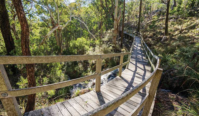
Beginning at Terry Hie Hie picnic area, Yana-y Warruwi walking track offers a scenic stroll through the beautiful vegetation surrounding the township. The traditional Kamilaroi Aboriginal People once used this area for important ceremonial gatherings, and evidence of this usage still remains in the form of axe-grinding grooves on rocks.
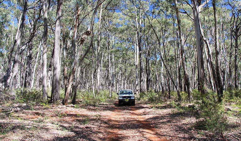
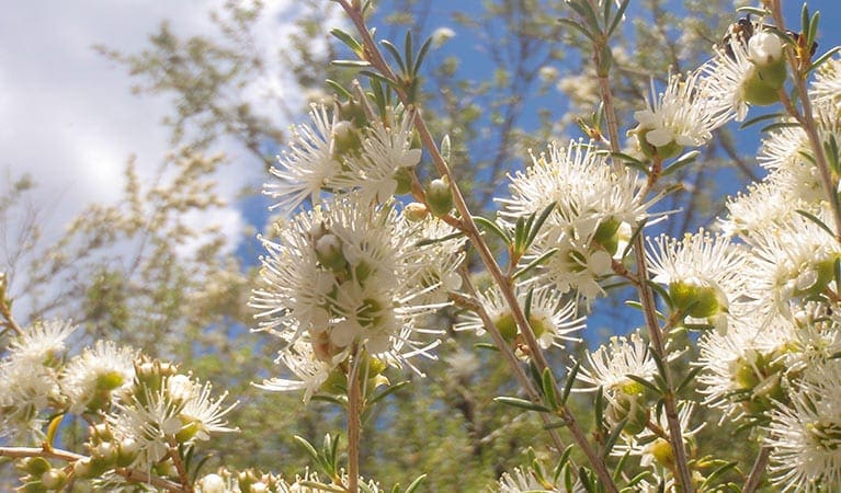
Starting with cypress pine and silver leaf ironbark woodland, the track then weaves through open grassland and smooth bark apple woodland. In spring, wildflowers bloom abundantly, spreading colours across the landscape.
Numerous birds occupy the area, so don't forget to bring a pair of binoculars for birdwatching. Though there are places to rest as you walk, consider packing a picnic lunch and taking advantage of the facilities back at the picnic area.
Tips
Remember to take your binoculars if you want to go birdwatching.
There is limited/no mobile reception in this park.
Visit NSW National Parks and Wildlife Service for more information on this trail.
The longitude and latitude of the start and end points are approximately only and should not be used for navigation purposes. Please contact me if you know the correct coordinates.
Gallery
Got some great shots from this hike? Upload your photos here to inspire others and show off the beauty of the trail!
Click to view form >>
Submitting your photos doesn’t mean you lose ownership. You can be credited for your contributions, and you can request removal at any time.
Content use
Please don’t copy GPX files or content from this site to AllTrails or other platforms. Each trail has been personally mapped, documented, and refined to support Australia’s bushwalking and hiking community. While some details come from land managers, every listing reflects significant personal effort. This is a free, community-driven initiative—your respect helps keep it that way.
Walk map and GPX file
It looks like I don’t have a GPX file for this trail yet. If you have one to share, please email it to me! I’ll verify it against official maps before adding it to help other hikers have a safer, easier experience. Thanks for contributing to a better hiking resource.
Getting there
Getting to the trailhead: Terry Hie Hie Aboriginal Area.
From Narrabri:Head north out of Narrabri along the Newell Highway to Bellata (47 km). Turn right onto Wilga Street (follow the sign for Terry Hie Hie). This road turns into Berrigal Creek Road. Follow this road for 34km and veer left at the Y-intersection with Melburra Road.Terry Hie Hie picnic area is a further 14 km on the left, and just north of Terry Hie Hie village. From Moree:Head west on the Gwydir Highway out of Moree towards Warialda. Travel 6km and turn right onto the Moree-Terry Hie Hie Road. The Terry Hie Hie picnic area is located approximately 43km from the Gwydir Highway turnoff, on the right, just before the church. Parking Bus and car parking is available at Terry Hie Hie picnic area.
Closest towns to this walk: Bourke, Brewarrina, Cobar, Enngonia, Louth
About the region
Terry Hie Hie Aboriginal Area features six significant cultural reserves, with places to picnic, opportunities for birdwatching, and a beautiful walking track.
Created in 2005, Terry Hie Hie Aboriginal Area was once an important ceremonial and gathering place for the traditional Kamilaroi (Gomeroi, Gamileroi, Gamileraay) Aboriginal People. Today, it's a tranquil spot, scattered in sections around the small town, which is also called Terry Hie Hie.
Evidence of long-term use of the area includes at least 240 axe-grinding grooves and the remains of a corroboree ground. A bora, several carved trees, scarred trees, and two Aboriginal cemeteries can also be found nearby. The local community and descendants of the Kamilaroi People often visit for cultural, recreational and educational purposes.
Terry Hie Hie Aboriginal Area is home to a staggering variety of native wildlife, including woodland birds, mammals, and reptiles. These can often be seen in lush communities of cypress pine and silver leaf ironbark woodland.
Similar walks nearby
Looking for more walks in or near Terry Hie Hie Aboriginal Area? Try these trails with a similar difficulty grade.
Track grade
Grade 3 (Moderate) - Walks for Most Fitness Levels: Grade 3 on the AWTGS represents moderate walking tracks. These are ideal for walkers with some fitness who are comfortable with some hills and uneven terrain. While suitable for most ages, some bushwalking experience is recommended to ensure a safe and enjoyable experience. Tracks may have short, steep hill sections, a rough surface, and many steps. The total distance of a Grade 3 walk can be up to 20 kilometers.
Explore safe
Plan ahead and hike safely! Carry enough water, pack layers for changing conditions, and bring safety gear like a torch, PLB, and reliable communication device. Check official sources for trail updates, closures, and access requirements, and review local weather and bushfire advice. Most importantly, share your plans with someone before you go. Being prepared makes for a safer and more enjoyable hike! Stay Safe, Explore More, and Always #ExploreSafe.
Packing checklists
What you carry in your pack depends on factors like weather, terrain, and your adventure type. Not sure what to bring? My free planning, food, and packing checklists are a great starting point, covering day hikes, overnight trips, and multi-day adventures. Use them to customise your kit and always prioritise safety.
Let someone know
Before heading out, take a moment to fill out your trip intentions form. It’s a quick way to share your hike details with family or friends. If something goes wrong, they can notify emergency services, ensuring a faster response and peace of mind. Stay safe and enjoy your adventure
Suggest an edit
Spotted a change on this trail? Maybe there are new features, the route has shifted, or the trail is permanently closed. Whatever the update, I’d love your input. Your feedback helps fellow hikers stay informed and ensures that our trail info stays fresh and reliable.
Acknowledgement of Country
Trail Hiking Australia acknowledges the Traditional Owners of the lands on which we hike and pay respects to their Elders, past and present, and we acknowledge the First Nations people of other communities who may be here today.


4 Reviews on “Yana-Y Warruwi Walking Track (3.5km)”
Nice!