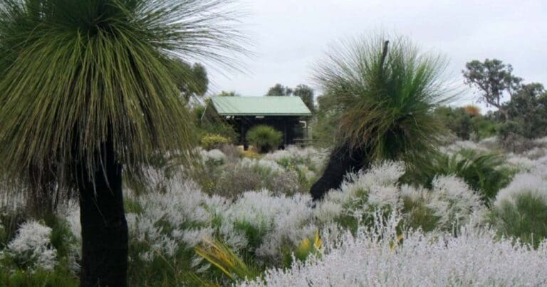
This 28 kilometre one way trail is based on the movement of Yellagonga and his people between Lake Joondalup and Yanchep. It can be completed in sections. It extends from Neil Hawkins Park in the south to Yanchep National Park in the north, traversing tuart and banksia woodland, coastal heath and former wetlands.
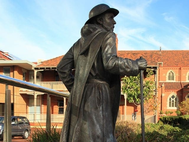
Yellagonga was an Aborigine whose tribe stretched from the Moore River to the Swan River. The Aborigines used the chain of wetlands to move away from the coast in winter, returning to the lakes in summer as the inland water supplies dried up. This route was later used as a stock route by Europeans. Yaberoo Budjara is translated as "the land of the people north of Perth". The trail is limestone and sand underfoot and is not suitable for summer walking. It has red markers with a grasstree symbol and can be accessed in sections: Neil Hawkin's Park to Hester Ave : 10km This land was once part of a stock route. Lake Joondalup (meaning "the lake that glistens") is a large freshwater lake that was well known to the Aborigines as a favoured camping and hunting ground. On the eastern side of the trail paperbark and shoreline vegetation dominate
Start Point: Neil Hawkin's Park, 30km (40minutes) north of Perth
End Point: Yanchep National Park, 60km (one hour) north of Perth
Region: Yanchep, Perth
For more information, a location map and GPS file please visit Trails WA.
Got some great shots from this hike? Upload your photos here to inspire others and show off the beauty of the trail!
Submitting your photos doesn’t mean you lose ownership. You can be credited for your contributions, and you can request removal at any time.
Please don’t copy GPX files or content from this site to AllTrails or other platforms. Each trail has been personally mapped, documented, and refined to support Australia’s bushwalking and hiking community. While some details come from land managers, every listing reflects significant personal effort. This is a free, community-driven initiative—your respect helps keep it that way.
It looks like I don’t have a GPX file for this trail yet. If you have one to share, please email it to me! I’ll verify it against official maps before adding it to help other hikers have a safer, easier experience. Thanks for contributing to a better hiking resource.
Getting there
Getting to the trailhead: Yanchep.
Closest towns to this walk: Alkimos, Guilderton, Mindarie, Quinns Rocks, Two Rocks, Yanchep
Similar walks nearby
Looking for more walks in or near Yanchep? Try these trails with a similar difficulty grade.
Favourite

Favourite

Favourite

Favourite

Track grade
Grade 3 (Moderate) - Walks for Most Fitness Levels: Grade 3 on the
AWTGS represents moderate walking tracks. These are ideal for walkers with some fitness who are comfortable with some hills and uneven terrain. While suitable for most ages, some bushwalking experience is recommended to ensure a safe and enjoyable experience. Tracks may have short, steep hill sections, a rough surface, and many steps. The total distance of a Grade 3 walk can be up to 20 kilometers.
Explore safe
Plan ahead and hike safely! Carry enough water, pack layers for changing conditions, and bring safety gear like a torch, PLB, and reliable communication device. Check official sources for trail updates, closures, and access requirements, and review local weather and bushfire advice. Most importantly, share your plans with someone before you go. Being prepared makes for a safer and more enjoyable hike! Stay Safe, Explore More, and Always #ExploreSafe.
Packing checklists
What you carry in your pack depends on factors like weather, terrain, and your adventure type. Not sure what to bring? My free planning, food, and packing checklists are a great starting point, covering day hikes, overnight trips, and multi-day adventures. Use them to customise your kit and always prioritise safety.
Let someone know
Before heading out, take a moment to fill out your trip intentions form. It’s a quick way to share your hike details with family or friends. If something goes wrong, they can notify emergency services, ensuring a faster response and peace of mind. Stay safe and enjoy your adventure
Suggest an edit
Spotted a change on this trail? Maybe there are new features, the route has shifted, or the trail is permanently closed. Whatever the update, I’d love your input. Your feedback helps fellow hikers stay informed and ensures that our trail info stays fresh and reliable.


