Trail Fast Facts
Wentworth Falls track is a 1.4km, grade 3 hike in Blue Mountains National Park, New South Wales. This hike typically takes 45 minutes to complete.
Hike Overview
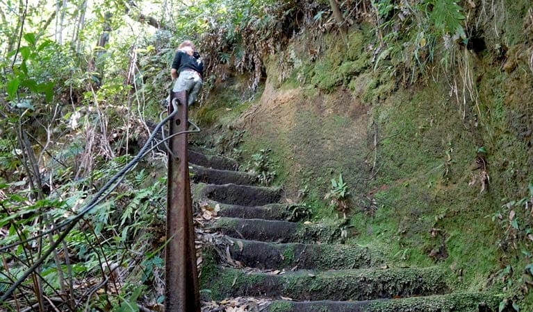
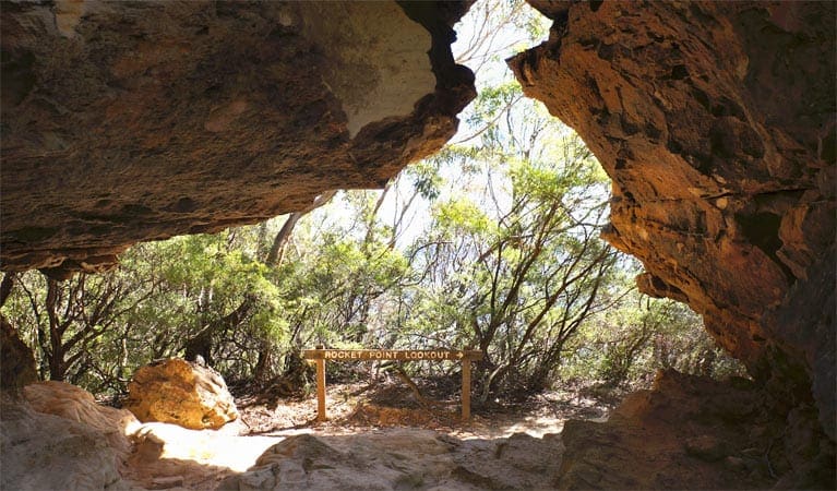
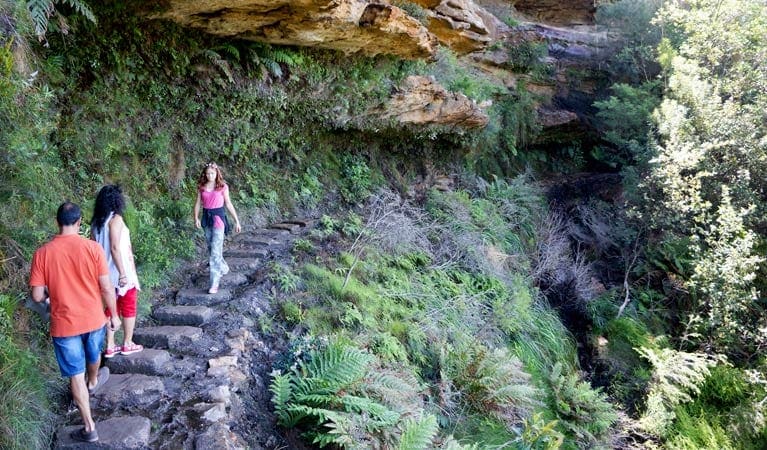
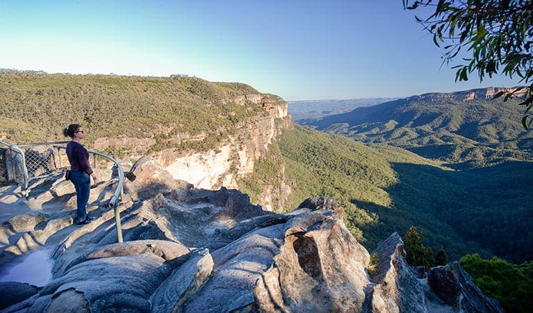
This short but steep walk from Wentworth Falls picnic area is well worth the effort. Follow the level path past Jamison and Wentworth lookouts before descending around 200 steps to the cliff-edge Fletchers lookout. Marvel at the waterfall that gives Wentworth Falls its name, as it plunges 100m to the valley floor.
From here, it's a few more minutes down steps to the very top of the Falls, where Jamison Creek cascades into a shallow pool to one side and the magnificent Jamison Valley opens out on the other.
Make your way back via the same route, or continue for a minute along National Pass to take in exhilarating views and wonder at this incredible feat of engineering, before backtracking to the picnic area. If you're feeling energetic, combine Wentworth Falls track with the short Weeping Rock circuit, the varied Undercliff track or historic Princes Rock lookout track.
Track Grade
Grade 3 (Moderate) - Walks for Most Fitness Levels: Grade 3 on the AWTGS represents moderate walking tracks. These are ideal for walkers with some fitness who are comfortable with some hills and uneven terrain. While suitable for most ages, some bushwalking experience is recommended to ensure a safe and enjoyable experience. Tracks may have short, steep hill sections, a rough surface, and many steps. The total distance of a Grade 3 walk can be up to 20 kilometers.
Tips
Please take care and stay on the track as there are hidden cliff edges in this area of the park. Children should be supervised.
This track has sections of steep stairs that are not suitable for prams.
Wentworth Falls picnic area and nearby walks can be busy places on weekends and holidays, so parking may be limited.
While water is available at the picnic area, it's a good idea to bring some extra water with you.
Visit NSW National Parks and Wildlife Service for more information on this trail.
The longitude and latitude of the start and end points are approximately only and should not be used for navigation purposes. Please contact me if you know the correct coordinates.
Map and GPX file
Help fellow hikers navigate with confidence. Share your GPX or KML file for this trail and help build a more comprehensive resource with precise waypoints and elevation profiles. Your contribution will empower adventurers with details they need for a safer and more enjoyable experience. I meticulously verify every file using official maps and surveys, ensuring the highest level of accuracy and reliability. Submit your file now and become a trailblazer for your fellow outdoor enthusiasts.
Trail Location (trailhead)
Sorry, no records were found. Please adjust your search criteria and try again.
Sorry, unable to load the Maps API.
Getting there
To Wentworth Falls carpark. Wentworth Falls track starts from Wentworth Falls picnic area in Blue Mountains National Park. To get there from Sydney:Drive west along the Great Western Highway, towards KatoombaAt Wentworth Falls village, turn left at the traffic lights onto Falls RoadFollow the signs for Wentworth Falls picnic area to the end of Falls Road Park entry points Wentworth Falls carpark See on map Road quality Sealed roads Vehicle access 2WD vehicles Weather restrictions All weather Parking Parking is available at Wentworth Falls picnic area including designated disabled spots. Overflow parking is available on Falls Road. By public transport Regular trains run from Sydney Central Station to Wentworth Falls. The picnic area is around 2km walk along Falls Road, or you can catch a bus to the corner of Fletchers Road and Falls Road.
Photo gallery
If you have any photos from this hike and are happy to share them, please upload your .jpg files here.
Please note: Uploading photos does not transfer ownership of copyright away from you. If requested, you will be credited for any photos you provide and can ask they be deleted at any time.
Similar trails nearby
Explore Safe
While planning your hike, it’s important to check official government sources for updated information, temporary closures and trail access requirements. Before hitting the trail, check local weather and bushfire advice for planned burns and bushfire warnings and let someone know before you go. Plan ahead and hike safely.
Let someone know
Adventure with peace of mind: Fill out your trip intentions form. Before you hit the trail, fill out an online form to privately send important details about your hike to your family or friends. If you don’t return on time, they can easily alert emergency services, preventing worry and ensuring a swift response. Hike with peace of mind and enjoy your outdoor adventure to the fullest. Be smart, be safe: Register your plans here.
Gear to consider
What you carry in your pack will depend on the weather, terrain, time of year, type of adventure, and personal preferences. Having trouble deciding what gear’s right for you? My free planning, food and packing checklists provide an introduction to things your could consider (as well as the Ten Essentials) on your day, overnight and multi-day adventures. Customise your kit according to your personal needs, always considering safety first.
Suggest an edit
Trail changed? New features discovered? Has the route changed? Trail permanently closed? Help fellow hikers by suggesting edits! Click above to update route descriptions, GPX file, trail features (like boardwalks), or access conditions (like parking availability). Help me keep the trails info fresh!
Weather
Acknowledgement of Country
Trail Hiking Australia acknowledges the Traditional Owners of the lands on which we hike and pay respects to their Elders, past and present, and we acknowledge the First Nations people of other communities who may be here today.


