Hike at a Glance
Max elevation: 0m
Min elevation: 0m
Total Ascent: 0m
Hike overview
Tooloom walking track takes you on a short, easy walk a little deeper into the lush rainforest of Tooloom Scrub, which is part of Gondwana Rainforests of Australia World Heritage Area. Over 200 species of birds have been recorded in the park and many of these inhabit the rainforest.
To either side of this trail are large rainforest trees and vines stretching from the leaf-littered forest floor to the high canopy above. Twisted roots of strangler figs can be seen among walking stick palms, which fruit bright red in summer.
Bring along your binoculars and take your time birdwatching. You may be lucky enough to spot an endangered Coxen's fig-parrot, which is one of the smallest parrots in Australia at only 15-16cm long. It's mainly bright yellow-green with red and blue markings on its relatively large head. Their call is quick and high-pitched and easy to miss, so keep your ears as well as your eyes peeled.
Tips
Remember to take your binoculars if you want to birdwatch.
There is no/limited mobile reception in this park.
Visit NSW National Parks and Wildlife Service for more information on this trail.
The longitude and latitude of the start and end points are approximately only and should not be used for navigation purposes. Please contact me if you know the correct coordinates.
Gallery
Got some great shots from this hike? Upload your photos here to inspire others and show off the beauty of the trail!
Click to view form >>
Submitting your photos doesn’t mean you lose ownership. You can be credited for your contributions, and you can request removal at any time.
Content use
Please don’t copy GPX files or content from this site to AllTrails or other platforms. Each trail has been personally mapped, documented, and refined to support Australia’s bushwalking and hiking community. While some details come from land managers, every listing reflects significant personal effort. This is a free, community-driven initiative—your respect helps keep it that way.
Walk map and GPX file
It looks like I don’t have a GPX file for this trail yet. If you have one to share, please email it to me! I’ll verify it against official maps before adding it to help other hikers have a safer, easier experience. Thanks for contributing to a better hiking resource.
Getting there
Getting to the trailhead: Tooloom National Park.
On entering Tooloom National Park, Tooloom walking track is signposted from Tooloom picnic area. Parking Parking is available on Main Road, a short walk from Tooloom walking track.
Closest towns to this walk: Grady's Creek, Kyogle, Mallanganee, Urbenville, Woodenbong
About the region
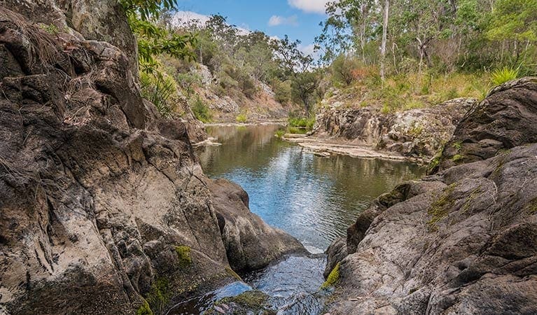
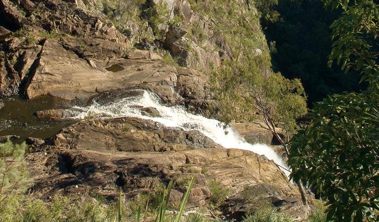
Tooloom National Park, part of the Gondwana Rainforests of Australia World Heritage Area, is a great place for walking, picnicking, birdwatching and admiring the views across the Great Dividing Range.
Bordered by dry forest and farmland, Tooloom National Park protects a lush, cool landscape of subtropical rainforest known as Tooloom Scrub, which is part of Gondwana Rainforests of Australia World Heritage Area. The park also includes important sections of red and flooded gum. Tooloom lies within the traditional land of the Githabul Aboriginal people, who now co-manage the park with NSW National Parks and Wildlife Service. Enjoy a picnic and a walk in this gorgeous natural environment of strangler figs, glossy green rainforest foliage and superb scenic views.
Similar walks nearby
Looking for more walks in or near Tooloom National Park? Try these trails with a similar difficulty grade.
Track grade
Grade 2 (Easy) - A Gentle Introduction to Inclines: Grade 2 on the AWTGS represents easy walking tracks that offer a slightly more challenging experience compared to Grade 1. Similar to Grade 1, no prior bushwalking experience is required. The track surface is typically hardened or compacted and may have gentle hill sections or occasional steps. The total distance of a Grade 2 walk is typically no greater than 10 kilometers. These walks are still suitable for families with a bit more experience or those seeking a gentle introduction to some inclines.
Explore safe
Plan ahead and hike safely! Carry enough water, pack layers for changing conditions, and bring safety gear like a torch, PLB, and reliable communication device. Check official sources for trail updates, closures, and access requirements, and review local weather and bushfire advice. Most importantly, share your plans with someone before you go. Being prepared makes for a safer and more enjoyable hike! Stay Safe, Explore More, and Always #ExploreSafe.
Packing checklists
What you carry in your pack depends on factors like weather, terrain, and your adventure type. Not sure what to bring? My free planning, food, and packing checklists are a great starting point, covering day hikes, overnight trips, and multi-day adventures. Use them to customise your kit and always prioritise safety.
Let someone know
Before heading out, take a moment to fill out your trip intentions form. It’s a quick way to share your hike details with family or friends. If something goes wrong, they can notify emergency services, ensuring a faster response and peace of mind. Stay safe and enjoy your adventure
Suggest an edit
Spotted a change on this trail? Maybe there are new features, the route has shifted, or the trail is permanently closed. Whatever the update, I’d love your input. Your feedback helps fellow hikers stay informed and ensures that our trail info stays fresh and reliable.
Acknowledgement of Country
Trail Hiking Australia acknowledges the Traditional Owners of the lands on which we hike and pay respects to their Elders, past and present, and we acknowledge the First Nations people of other communities who may be here today.


