Hike at a Glance
Max elevation: 0m
Min elevation: 0m
Total Ascent: 0m
Hike overview
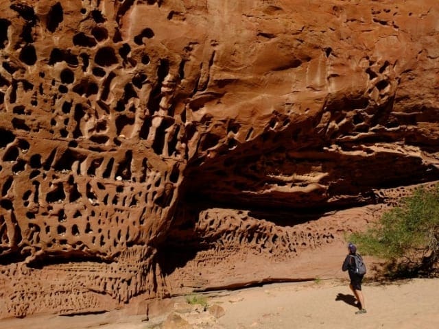
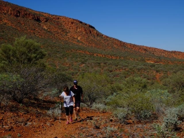
Starting at the Temple Gorge day-use site, the first part of the trail is Class 3 and leads to a fork in the creek under a prominent rock face referred to as The Temple. The left fork is a short picturesque walk, and apart from a few step-ups, is relatively easy. The right fork is rated at Class 4 and is a longer, tougher, boulder-strewn walk up to a small seasonal rock pool.
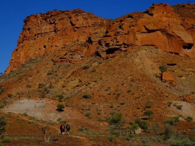
If camping at the spectacular Temple Gorge campground, there's no need to hop in the car and drive to the trailhead. The trail starts right here at the campground. The walk to the fork in the trail is easy enough and here you'll get an inspiring view of the rock face that looks like a temple. However, if you are up to a bigger challenge, you can branch right and take the Class 4 route. It's longer, boulder strewn and needs to be undertaken with care as you scramble up and down the slopes. At the end you are rewarded with a seasonal rock pool under the gorge walls. It's a good place to stop and soak in nature. This is one of six walk trials in the park - Temple Gorge, Honeycomb Gorge, Drapers Gorge, the Escarpment Trail (leading to the top of the range), the Escarpment Base Trail, and Sunrise View.
Tips
Start Point: The Temple Gorge Car Park near main campground
End Point: The Temple Gorge Car Park near main campground
Region: Kennedy Range National Park, Coral Coast
For more information, a location map and GPS file please visit Trails WA.
Gallery
Got some great shots from this hike? Upload your photos here to inspire others and show off the beauty of the trail!
Click to view form >>
Submitting your photos doesn’t mean you lose ownership. You can be credited for your contributions, and you can request removal at any time.
Content use
Please don’t copy GPX files or content from this site to AllTrails or other platforms. Each trail has been personally mapped, documented, and refined to support Australia’s bushwalking and hiking community. While some details come from land managers, every listing reflects significant personal effort. This is a free, community-driven initiative—your respect helps keep it that way.
Walk map and GPX file
It looks like I don’t have a GPX file for this trail yet. If you have one to share, please email it to me! I’ll verify it against official maps before adding it to help other hikers have a safer, easier experience. Thanks for contributing to a better hiking resource.
Getting there
Getting to the trailhead: Kennedy Range National Park.
Closest towns to this walk: Andover, Carnarvon, Coral Bay, Exmouth, Gascoyne Junction, Meekatharra, Mount Augustus, Murchison, Ningaloo, Shark Bay
About the region
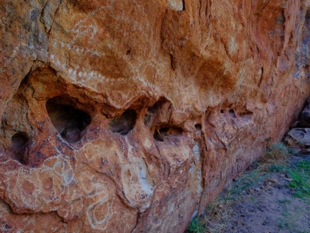
Scenic landscapes, wilderness, wildflowers, camping, walk trails, night skies, geology gemstones and marine fossils (to observe only), bird watching and outback photography are some of the attractions at Kennedy Range National Park. Kennedy Range is known as 'Mundatharrda' to the local Inggarda Aboriginal language group. Kennedy Range is a vast elevated north-south oriented sandstone plateau between 12 and 25km wide and about 75km long. The rocks that comprise the range were originally deposited beneath the sea. Over time they were compressed to form sandstone, then faulted, uplifted and tilted towards the west. Subsequent erosion has isolated the plateau 80m above the surrounding plain. The vegetation of the plain is acacia shrubland (mostly mulga), which shades an abundance of seasonal understory of flowering annuals (including everlastings).
Similar walks nearby
Looking for more walks in or near Kennedy Range National Park? Try these trails with a similar difficulty grade.
Track grade
Grade 3 (Moderate) - Walks for Most Fitness Levels: Grade 3 on the AWTGS represents moderate walking tracks. These are ideal for walkers with some fitness who are comfortable with some hills and uneven terrain. While suitable for most ages, some bushwalking experience is recommended to ensure a safe and enjoyable experience. Tracks may have short, steep hill sections, a rough surface, and many steps. The total distance of a Grade 3 walk can be up to 20 kilometers.
Explore safe
Plan ahead and hike safely! Carry enough water, pack layers for changing conditions, and bring safety gear like a torch, PLB, and reliable communication device. Check official sources for trail updates, closures, and access requirements, and review local weather and bushfire advice. Most importantly, share your plans with someone before you go. Being prepared makes for a safer and more enjoyable hike! Stay Safe, Explore More, and Always #ExploreSafe.
Packing checklists
What you carry in your pack depends on factors like weather, terrain, and your adventure type. Not sure what to bring? My free planning, food, and packing checklists are a great starting point, covering day hikes, overnight trips, and multi-day adventures. Use them to customise your kit and always prioritise safety.
Let someone know
Before heading out, take a moment to fill out your trip intentions form. It’s a quick way to share your hike details with family or friends. If something goes wrong, they can notify emergency services, ensuring a faster response and peace of mind. Stay safe and enjoy your adventure
Suggest an edit
Spotted a change on this trail? Maybe there are new features, the route has shifted, or the trail is permanently closed. Whatever the update, I’d love your input. Your feedback helps fellow hikers stay informed and ensures that our trail info stays fresh and reliable.
Acknowledgement of Country
Trail Hiking Australia acknowledges the Traditional Owners of the lands on which we hike and pay respects to their Elders, past and present, and we acknowledge the First Nations people of other communities who may be here today.


