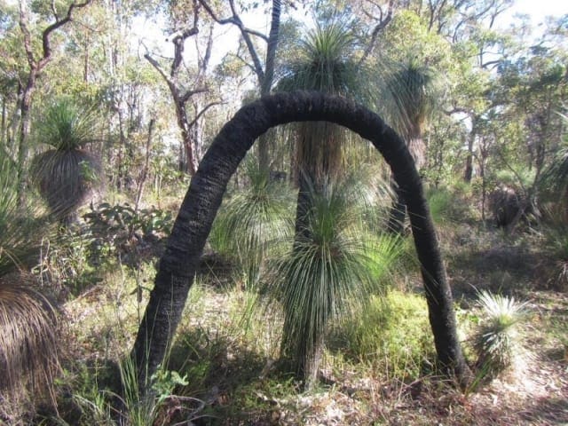
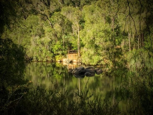
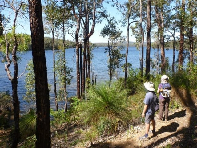
The Sandhills of Donnybrook feature an array of glowing yellow wattle in spring and great views over rolling green pastures. The moderate 5km loop trail passes through jarrah forest and is a picturesque walk.
A moderate well defined trail, with some steeper sections and uneven loose surfaces. An array of wildflowers can be seen throughout this picturesque walk. This area was last logged prior to 1962 when it became Ryall's Nature Reserve. Passing through Ryall's Nature Reserve (please observe the guidelines before entering the Nature Reserve) you will emerge to enjoy uninterrupted views of the Donnybrook rural landscapes.
Start Point: Corner Frost and Montgomery Road Donnybrook, 200km (2hrs,10mins) south of Perth
End Point: Corner Frost and Montgomery Road Donnybrook, 200km (2hrs,10mins) south of Perth
Region: Donnybrook, South West
For more information, a location map and GPS file please visit Trails WA.
Got some great shots from this hike? Upload your photos here to inspire others and show off the beauty of the trail!
Submitting your photos doesn’t mean you lose ownership. You can be credited for your contributions, and you can request removal at any time.
Please don’t copy GPX files or content from this site to AllTrails or other platforms. Each trail has been personally mapped, documented, and refined to support Australia’s bushwalking and hiking community. While some details come from land managers, every listing reflects significant personal effort. This is a free, community-driven initiative—your respect helps keep it that way.
It looks like I don’t have a GPX file for this trail yet. If you have one to share, please email it to me! I’ll verify it against official maps before adding it to help other hikers have a safer, easier experience. Thanks for contributing to a better hiking resource.
Getting there
Getting to the trailhead: Donnybrook.
Closest towns to this walk: Balingup, Boyup Brook, Bridgetown, Capel, Dardanup, Kirup, Mullalyup
About the region
Donnybrook is a town situated between Boyanup and Kirup on the South Western Highway, 210 kilometres south of Perth, Western Australia. The town is the centre of apple production in Western Australia. The town is also known for its picturesque abundance of English Oak trees.
Similar walks nearby
Looking for more walks in or near Donnybrook? Try these trails with a similar difficulty grade.
Favourite

Favourite

Favourite

Favourite

Track grade
Grade 3 (Moderate) - Walks for Most Fitness Levels: Grade 3 on the
AWTGS represents moderate walking tracks. These are ideal for walkers with some fitness who are comfortable with some hills and uneven terrain. While suitable for most ages, some bushwalking experience is recommended to ensure a safe and enjoyable experience. Tracks may have short, steep hill sections, a rough surface, and many steps. The total distance of a Grade 3 walk can be up to 20 kilometers.
Explore safe
Plan ahead and hike safely! Carry enough water, pack layers for changing conditions, and bring safety gear like a torch, PLB, and reliable communication device. Check official sources for trail updates, closures, and access requirements, and review local weather and bushfire advice. Most importantly, share your plans with someone before you go. Being prepared makes for a safer and more enjoyable hike! Stay Safe, Explore More, and Always #ExploreSafe.
Packing checklists
What you carry in your pack depends on factors like weather, terrain, and your adventure type. Not sure what to bring? My free planning, food, and packing checklists are a great starting point, covering day hikes, overnight trips, and multi-day adventures. Use them to customise your kit and always prioritise safety.
Let someone know
Before heading out, take a moment to fill out your trip intentions form. It’s a quick way to share your hike details with family or friends. If something goes wrong, they can notify emergency services, ensuring a faster response and peace of mind. Stay safe and enjoy your adventure
Suggest an edit
Spotted a change on this trail? Maybe there are new features, the route has shifted, or the trail is permanently closed. Whatever the update, I’d love your input. Your feedback helps fellow hikers stay informed and ensures that our trail info stays fresh and reliable.


