Trail Fast Facts
Old Timberline Trail is a 22km, grade 3 hike in Regional Western Australia, Western Australia. This hike typically takes 6 hours to complete.
Hike Overview
The Old Timberline Rail Trail follows the route of a tramway built by the Kauri Timber Company.
The southern end of the Old Timberline Trail is at the old railway bridge in the Nannup Foreshore Park and runs to Cambray Siding. A second rail trail, the Sidings Rail Trail, also beings at Nannup and follows the route of a former government railway. The two trails can be combined to form a 37 km loop.
In July 2009, the section of the OTT between Sleeper Hewer's Camp and Cambray Siding was closed for safety reasons to allow repairs to a culvert blowout caused by heavy rains. There are temporary track closure signs on all access points as well as in Nannup. As of August 2010 repairs have not been able to be completed, but the area is passable with care in good weather conditions. The area should not be entered during rain or flood conditions.
The Timberline trail leaves the tramway formation in a couple of places and in these sections it is narrow and, in places, steep. Nannup, a heritage town of 1200, has been greatly influenced by railways and its relationship with the valuable jarrah and karri timber industry. The trail starts in Nannup at the old railway bridge. This bridge was used by the government railway to Nannup, the tramway originally crossed the river about 3 km to the south near the sawmill. After crossing the bridge, the trail swings southwest to join the tramway formation while the Sidings Rail Trail continues north.
After about 5 km, the trail leaves the formation for several kilometres to cut across to Workers (although frequently referred to as Workers the correct name is Workmans) Pool and Barrabup Pool. These are pools formed by St John Brook. In the days when a sawmill operated at Barrabup, the mill workers could bathe at Workers (Workmans) pool, but Barrabup pool was reserved for the mill manager!
After crossing the brook at Barrabup pool, the trail climbs steeply to rejoin the tramway formation. Note: if you are coming south, the formation continues straight ahead here, but you will need to turn left to Barrabup pool.
The trail continues north along the formation for a couple of kilometres. A loop off the formation to the east avoids a section that may be muddy in wet weather, but in dry weather you can continue straight ahead.
The trail then climbs steeply before descending back down to the brook. The descent is steep and narrow so cyclists may need to wheel their bikes. At the bottom of the descent the trail rejoins the formation at the point where the tramway once crossed the brook. The remains of the bridge can be seen here. Note: if you are heading south, the trail makes a sharp right just before the bridge. This turn is badly signed as at October 2006. Look for a marker arrow half way up a tree.
The trail continues, mostly on the formation, to Cambray Siding where it meets the Sidings Rail Trail to form a loop.
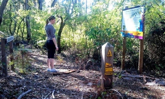
Signs explaining the history of the railway and tramway have been placed along the trail at intervals between Barrabup Pool and Cambray Siding.
Car access is available to Cambray Siding and Barrabup Pool on dirt roads. The road into Cambray is narrow and may not be passable by 2WD vehicles after wet weather. The trail is mainly compacted earth with some gravel sections.
The rail trail is managed by the Recreation and Trails Unit of the Department of Environment and Conservation, ph. (08) 93340265 or email.
Track Grade
Grade 3 (Moderate) - Walks for Most Fitness Levels: Grade 3 on the AWTGS represents moderate walking tracks. These are ideal for walkers with some fitness who are comfortable with some hills and uneven terrain. While suitable for most ages, some bushwalking experience is recommended to ensure a safe and enjoyable experience. Tracks may have short, steep hill sections, a rough surface, and many steps. The total distance of a Grade 3 walk can be up to 20 kilometers.
Tips
Nannup to Cambray in Regional Western Australia
300km south of Perth
Compacted earth, Coarse gravel
Flat and undulating with some steep sections
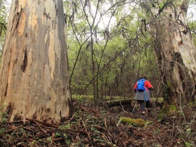
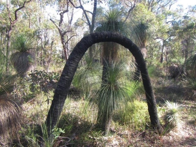
Photo credit: Rail Trails Australia. For more information and a location map please visit RailTrails Australia.
Map and GPX file
Help fellow hikers navigate with confidence. Share your GPX or KML file for this trail and help build a more comprehensive resource with precise waypoints and elevation profiles. Your contribution will empower adventurers with details they need for a safer and more enjoyable experience. I meticulously verify every file using official maps and surveys, ensuring the highest level of accuracy and reliability. Submit your file now and become a trailblazer for your fellow outdoor enthusiasts.
Trailhead
Sorry, no records were found. Please adjust your search criteria and try again.
Sorry, unable to load the Maps API.
Photo gallery
If you have any photos from this hike and are happy to share them, please upload your .jpg files here.
Please note: Uploading photos does not transfer ownership of copyright away from you. If requested, you will be credited for any photos you provide and can ask they be deleted at any time.
About the region
A Wander out Yonder in WA will make you feel like you've truly reset, reconnected and had a real holiday. WA is full of adventures waiting to be discovered. Travel further, stay for longer and explore the wonders only WA can offer. Share the water with wild dolphins, or see the gorges of Kalbarri from a new perspective in WA there's more in store than you could ever see.
Similar trails nearby
Looking for things to do in Regional Western Australia? Try these hikes or bushwalks.
Explore Safe
While planning your hike, it’s important to check official government sources for updated information, temporary closures and trail access requirements. Before hitting the trail, check local weather and bushfire advice for planned burns and bushfire warnings and let someone know before you go. Plan ahead and hike safely.
Let someone know
Adventure with peace of mind: Fill out your trip intentions form. Before you hit the trail, fill out an online form to privately send important details about your hike to your family or friends. If you don’t return on time, they can easily alert emergency services, preventing worry and ensuring a swift response. Hike with peace of mind and enjoy your outdoor adventure to the fullest. Be smart, be safe: Register your plans here.
Gear to consider
What you carry in your pack will depend on the weather, terrain, time of year, type of adventure, and personal preferences. Having trouble deciding what gear’s right for you? My free planning, food and packing checklists provide an introduction to things your could consider (as well as the Ten Essentials) on your day, overnight and multi-day adventures. Customise your kit according to your personal needs, always considering safety first.
Suggest an edit
Trail changed? New features discovered? Has the route changed? Trail permanently closed? Help fellow hikers by suggesting edits! Click above to update route descriptions, GPX file, trail features (like boardwalks), or access conditions (like parking availability). Help me keep the trails info fresh!
Weather
Acknowledgement of Country
Trail Hiking Australia acknowledges the Traditional Owners of the lands on which we hike and pay respects to their Elders, past and present, and we acknowledge the First Nations people of other communities who may be here today.


