Hike at a Glance
Max elevation: 0m
Min elevation: 0m
Total Ascent: 0m
Hike overview
Situated 16km south of Northcliffe just off the Windy Harbour Road. Mount Chudalup towers over the surrounding karri forest. The climb to the top of this 185 metre granite dome is steep in places but well worth the effort.
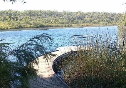
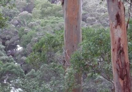
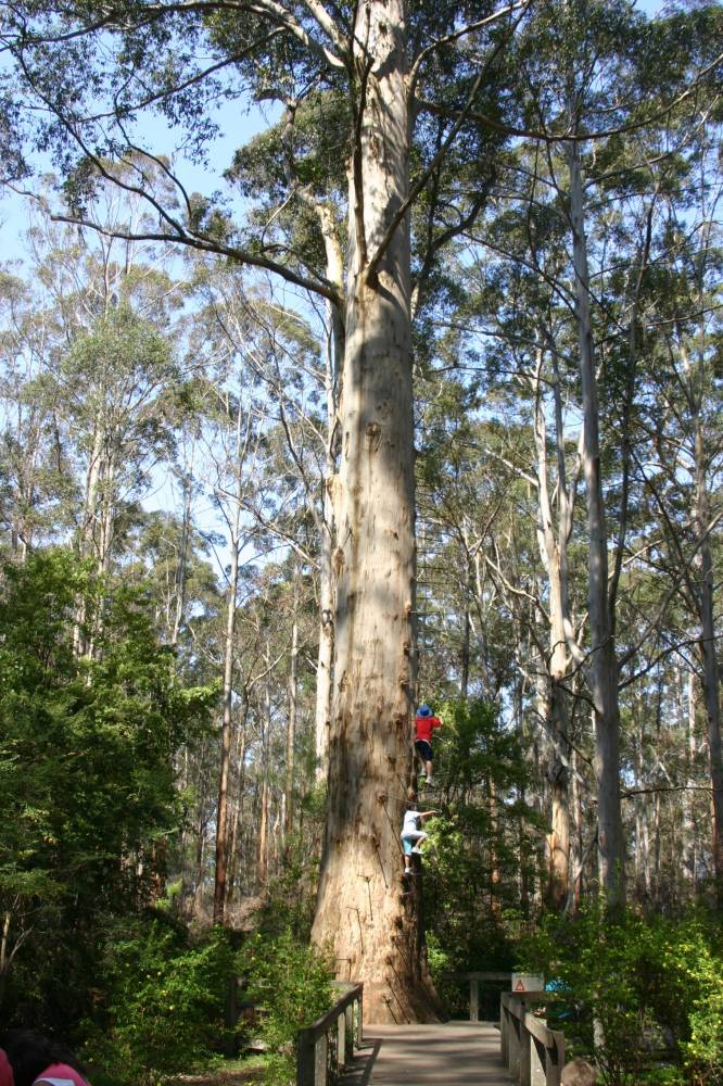
Mount Chudalup is a 187m high granite outcrop in the D'Entrecasteaux National Park, on the way to Windy Harbour 16km south of Northcliffe. Mount Chudalup, known as a monadnock, rises abruptly from the surrounding sedge and heathlands. This massive block of granite is fringed by Karri and Marri forest. The summit offers magnificent 360 degree views of the surrounding D'Entrecastreaux National Park and the coast beyond. The best way to experience the fantastic views over the National Park and beyond is to take the Summit Walk Trail which leaves the picnic shelter at the Car Park and leads up through karri and marri forest which gives way to peppermints, grass trees, snottygobbles, banksias and sheoaks. One you reach the top of Mount Chudalup, you can enjoy sweeping views of the coast and surrounds, including the Meerup and Doggerup Dunes, the Southern Ocean, D'Entrecasteaux National Park and the Shannon Forest. From the top you can see also the patterns of the land that give D'Entrecasteaux National Park its unique character. It is a transition between the coastal belt and the tall forests. Continuous lashing by the Southern Ocean winds has created an extensive sand dune system. These coastal dunes have blocked the flow of streams and creeks trying to empty into the ocean. Over time this has created a chain of lakes and wetlands extending from the Broke Inlet in the south to Lake Jasper (the largest freshwater lake in the south-west) north-west of Mount Chudalup. Once you reach the granite section, look out for the amazing diversity of mosses and lichens. This granite outcrop is home to 42 species of moss, 28 species of lichen and 6 species of liverwort. They are an integral part of the complex ecosystem that exists on this "granite island". Be aware that the granite can be slippery in wet weather and there are steep drop offs on the summit. "
Tips
Start Point: Mount Chudalup Car Park in D'Entrecasteaux National Park which is 16km south of Northcliffe on the Windy Harbour Road.
End Point: Mount Chudalup Car Park in D'Entrecasteaux National Park which is 16km south of Northcliffe on the Windy Harbour Road.
Region: Northcliffe, South West
For more information, a location map and GPS file please visit Trails WA.
Gallery
Got some great shots from this hike? Upload your photos here to inspire others and show off the beauty of the trail!
Click to view form >>
Submitting your photos doesn’t mean you lose ownership. You can be credited for your contributions, and you can request removal at any time.
Content use
Please don’t copy GPX files or content from this site to AllTrails or other platforms. Each trail has been personally mapped, documented, and refined to support Australia’s bushwalking and hiking community. While some details come from land managers, every listing reflects significant personal effort. This is a free, community-driven initiative—your respect helps keep it that way.
Walk map and GPX file
It looks like I don’t have a GPX file for this trail yet. If you have one to share, please email it to me! I’ll verify it against official maps before adding it to help other hikers have a safer, easier experience. Thanks for contributing to a better hiking resource.
Getting there
Getting to the trailhead: Northcliffe.
Closest towns to this walk: Bridgetown, Manjimup, Nannup, Pemberton, Walpole
About the region
The South West's vast landscape provides the perfect environment for outdoor adventure. It's easy to go off the beaten track, with beautiful coastal scenery, ancient mountain ranges and towering old growth forests waiting to be discovered. Team that with a soft adventure experience such as caving; or a heart-stopping experience, like throwing yourself out of a plane, and you've got a prime destination for all adventure seekers.
Similar walks nearby
Looking for more walks in or near Northcliffe? Try these trails with a similar difficulty grade.
Track grade
Grade 3 (Moderate) - Walks for Most Fitness Levels: Grade 3 on the AWTGS represents moderate walking tracks. These are ideal for walkers with some fitness who are comfortable with some hills and uneven terrain. While suitable for most ages, some bushwalking experience is recommended to ensure a safe and enjoyable experience. Tracks may have short, steep hill sections, a rough surface, and many steps. The total distance of a Grade 3 walk can be up to 20 kilometers.
Explore safe
Plan ahead and hike safely! Carry enough water, pack layers for changing conditions, and bring safety gear like a torch, PLB, and reliable communication device. Check official sources for trail updates, closures, and access requirements, and review local weather and bushfire advice. Most importantly, share your plans with someone before you go. Being prepared makes for a safer and more enjoyable hike! Stay Safe, Explore More, and Always #ExploreSafe.
Packing checklists
What you carry in your pack depends on factors like weather, terrain, and your adventure type. Not sure what to bring? My free planning, food, and packing checklists are a great starting point, covering day hikes, overnight trips, and multi-day adventures. Use them to customise your kit and always prioritise safety.
Let someone know
Before heading out, take a moment to fill out your trip intentions form. It’s a quick way to share your hike details with family or friends. If something goes wrong, they can notify emergency services, ensuring a faster response and peace of mind. Stay safe and enjoy your adventure
Suggest an edit
Spotted a change on this trail? Maybe there are new features, the route has shifted, or the trail is permanently closed. Whatever the update, I’d love your input. Your feedback helps fellow hikers stay informed and ensures that our trail info stays fresh and reliable.
Acknowledgement of Country
Trail Hiking Australia acknowledges the Traditional Owners of the lands on which we hike and pay respects to their Elders, past and present, and we acknowledge the First Nations people of other communities who may be here today.


