Hike at a Glance
Max elevation: 0m
Min elevation: 0m
Total Ascent: 0m
Hike overview
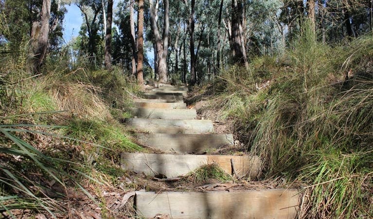
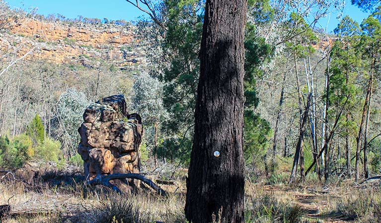
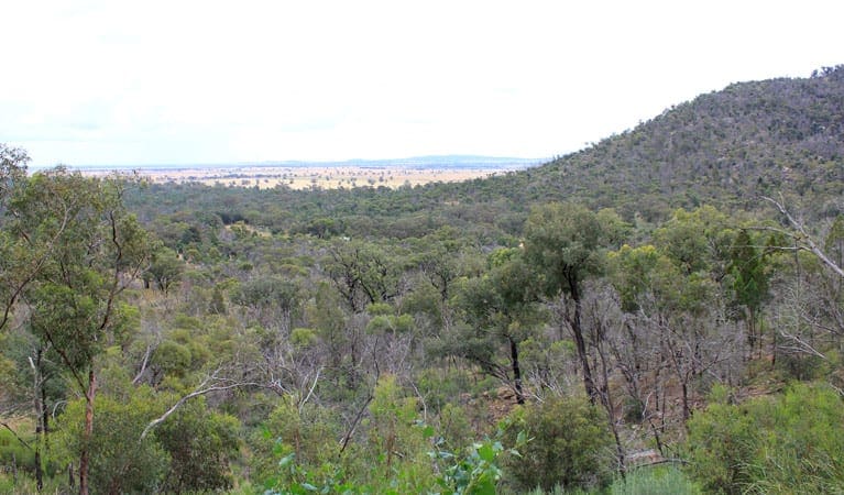
Ironbark walking track is a pleasant 1.5hr looped bushwalk that winds its way along a ridge and up onto a broad flat plateau, which overlooks Cherry Creek. Here, you can stop and admire the scenic views looking out east to Cowra and the mountains and farmlands beyond.
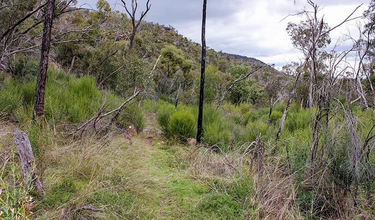
Along the way, you'll stroll through dry eucalypt forests, ironbark, black cypress pine, scribbly gum, red stringybark and heathlands, all of which hold ample opportunities for birdwatching.
Among the more interesting bird species you might spot here - with the local birdlife being particularly active in the morning - are turquoise and superb parrots, brown treecreepers, grey-crowned babblers, white-fronted chats, and diamond firetails.
In spring, the flowering heath and wildflowers that cover the ground can be quite breathtaking. For a shorter walk, take Wallaby walking track to Wallaby picnic area.
Tips
Remember to take your binoculars if you want to birdwatch
If you're bushwalking in this park, it's a good idea to bring a topographic map and compass, or a GPS.
The weather in this area can be extreme and unpredictable, so please ensure you're well-prepared for your visit.
There is limited/no mobile reception in this park
Visit NSW National Parks and Wildlife Service for more information on this trail.
The longitude and latitude of the start and end points are approximately only and should not be used for navigation purposes. Please contact me if you know the correct coordinates.
Gallery
Got some great shots from this hike? Upload your photos here to inspire others and show off the beauty of the trail!
Click to view form >>
Submitting your photos doesn’t mean you lose ownership. You can be credited for your contributions, and you can request removal at any time.
Content use
Please don’t copy GPX files or content from this site to AllTrails or other platforms. Each trail has been personally mapped, documented, and refined to support Australia’s bushwalking and hiking community. While some details come from land managers, every listing reflects significant personal effort. This is a free, community-driven initiative—your respect helps keep it that way.
Walk map and GPX file
It looks like I don’t have a GPX file for this trail yet. If you have one to share, please email it to me! I’ll verify it against official maps before adding it to help other hikers have a safer, easier experience. Thanks for contributing to a better hiking resource.
Getting there
Getting to the trailhead: Conimbla National Park.
To Ironbark picnic area – Conimbla NP. Ironbark walking track starts from Ironbark picnic area in the Conimbla Range precinct of Conimbla National Park. To get there:From Cowra:Travel 9km west along Mid-Western Highway. Turn right onto Barryrennie Road, following the signs to Conimbla National Park. Continue for 16km, then turn left into Ironbark picnic area.From Gooloogong:From the town centre, turn onto Kangarooby Road, following the signs to Conimbla National Park. Continue for 25km, then turn right into Ironbark picnic area.From Grenfell:Travel 46km east on Mid-Western Highway. Turn left onto Barryrennie Road, following the signs to Conimbla National Park. Continue for 16km, then turn left into Ironbark picnic area. Park entry points Ironbark picnic area – Conimbla NP See on map Parking Parking is available at Ironbark picnic area.
Closest towns to this walk: Blayney, Canowindra, Cowra, Eugowra, Grenfell, Woodstock, Young
About the region
Conimbla National Park in the Country NSW region
Conimbla National Park is always open but may have to close at times due to poor weather or fire danger.
Similar walks nearby
Looking for more walks in or near Conimbla National Park? Try these trails with a similar difficulty grade.
Track grade
Grade 4 (Hard) - Challenging Walks for Experienced Walkers: Grade 4 on the AWTGS signifies challenging walking tracks. Bushwalking experience is recommended for these tracks, which may be long, rough, and very steep. Directional signage may be limited, requiring a good sense of navigation. These walks are suited for experienced walkers who are comfortable with steeper inclines, rougher terrain, and potentially longer distances.
Explore safe
Plan ahead and hike safely! Carry enough water, pack layers for changing conditions, and bring safety gear like a torch, PLB, and reliable communication device. Check official sources for trail updates, closures, and access requirements, and review local weather and bushfire advice. Most importantly, share your plans with someone before you go. Being prepared makes for a safer and more enjoyable hike! Stay Safe, Explore More, and Always #ExploreSafe.
Packing checklists
What you carry in your pack depends on factors like weather, terrain, and your adventure type. Not sure what to bring? My free planning, food, and packing checklists are a great starting point, covering day hikes, overnight trips, and multi-day adventures. Use them to customise your kit and always prioritise safety.
Let someone know
Before heading out, take a moment to fill out your trip intentions form. It’s a quick way to share your hike details with family or friends. If something goes wrong, they can notify emergency services, ensuring a faster response and peace of mind. Stay safe and enjoy your adventure
Suggest an edit
Spotted a change on this trail? Maybe there are new features, the route has shifted, or the trail is permanently closed. Whatever the update, I’d love your input. Your feedback helps fellow hikers stay informed and ensures that our trail info stays fresh and reliable.
Acknowledgement of Country
Trail Hiking Australia acknowledges the Traditional Owners of the lands on which we hike and pay respects to their Elders, past and present, and we acknowledge the First Nations people of other communities who may be here today.


