Hike at a Glance
Max elevation: 0m
Min elevation: 0m
Total Ascent: 0m
Hike overview
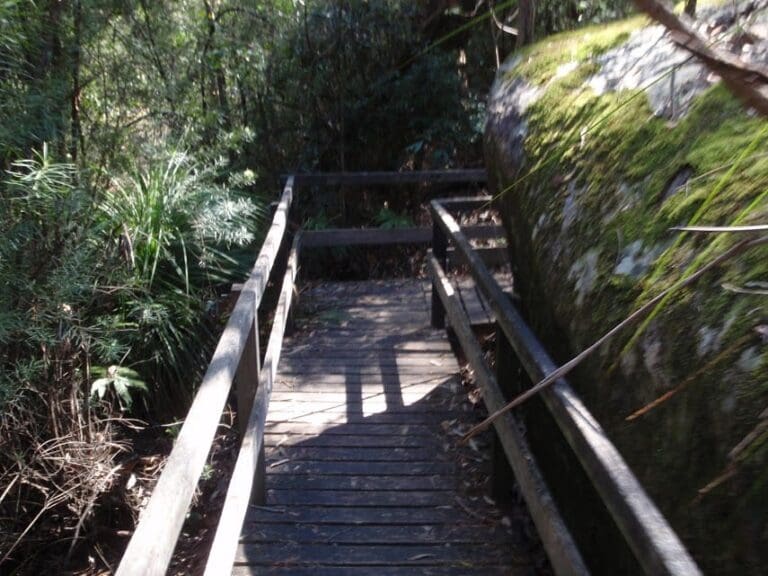
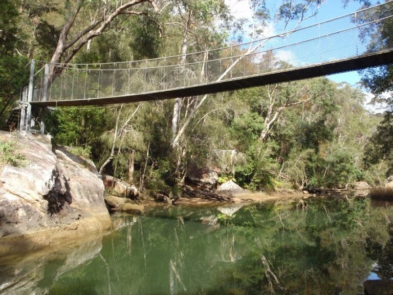
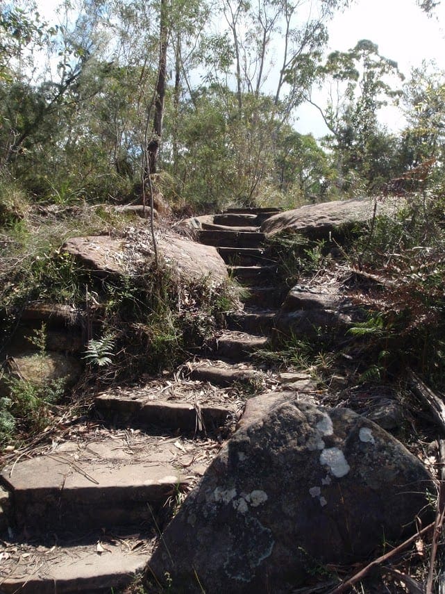
Girrakool loop track is a short and easy walk that starts and finishes at Girrakool picnic area. It offers scenic views over waterfalls and is full of colourful wildflowers during late winter and early spring.
At the start of the walk, be sure to check out the Aboriginal rock engraving site, take care not to walk over it though. From here, you'll wind down into bushland, past views of forest, waterfalls and the creek. Make sure you stop at Illoura lookout and the shady waterfall at Andamira lookout for a photo or two.
Tips
The Girrakool picnic area car park is open 9am-5pm
Visit NSW National Parks and Wildlife Service for more information on this trail.
The longitude and latitude of the start and end points are approximately only and should not be used for navigation purposes. Please contact me if you know the correct coordinates.
Gallery
Got some great shots from this hike? Upload your photos here to inspire others and show off the beauty of the trail!
Click to view form >>
Submitting your photos doesn’t mean you lose ownership. You can be credited for your contributions, and you can request removal at any time.
Content use
Please don’t copy GPX files or content from this site to AllTrails or other platforms. Each trail has been personally mapped, documented, and refined to support Australia’s bushwalking and hiking community. While some details come from land managers, every listing reflects significant personal effort. This is a free, community-driven initiative—your respect helps keep it that way.
Walk map and GPX file
It looks like I don’t have a GPX file for this trail yet. If you have one to share, please email it to me! I’ll verify it against official maps before adding it to help other hikers have a safer, easier experience. Thanks for contributing to a better hiking resource.
Getting there
Getting to the trailhead: Brisbane Water National Park.
Girrakool loop track is in the northern section of Brisbane Water National Park.To get there from the F3 Highway:Exit Central Coast Highway towards GosfordTake the first left onto Wisemans Ferry RoadTake the first left onto Old Pacific HighwayTake the first left onto Quarry RoadThe picnic area, where the trail begins, is through the tunnel and straight ahead. Parking Parking is available at Girrakool picnic area, including several designated disabled spots. Please be aware of the carpark opening hours; gates are locked at closing.
Closest towns to this walk: East Gosford, Ettalong Beach, Gosford, Holgate, Horsfield Bay, Kariong, Koolewong, North Gosford, Pearl Beach, Saratoga, Umina Beach, Woy Woy, Wyoming
About the region
The Brisbane Water National Park is a protected national park that is in the Central Coast region of New South Wales, in eastern Australia. The 11,506-hectare national park is situated 47 kilometres north of Sydney, 10 kilometres west of Woy Woy, and 12 kilometres southwest of Gosford. The Brisbane Water National Park has two picnic areas within the park close of an evening: Girrakool picnic area is open 9am to 5pm every day Somersby Falls picnic area is open 8am to 8pm during daylight savings and is open 8am to 5pm at other times Other areas of Brisbane Water National Park will be open at all times, however may have to close at times due to poor weather or fire danger.
Similar walks nearby
Looking for more walks in or near Brisbane Water National Park? Try these trails with a similar difficulty grade.
Track grade
Grade 3 (Moderate) - Walks for Most Fitness Levels: Grade 3 on the AWTGS represents moderate walking tracks. These are ideal for walkers with some fitness who are comfortable with some hills and uneven terrain. While suitable for most ages, some bushwalking experience is recommended to ensure a safe and enjoyable experience. Tracks may have short, steep hill sections, a rough surface, and many steps. The total distance of a Grade 3 walk can be up to 20 kilometers.
Explore safe
Plan ahead and hike safely! Carry enough water, pack layers for changing conditions, and bring safety gear like a torch, PLB, and reliable communication device. Check official sources for trail updates, closures, and access requirements, and review local weather and bushfire advice. Most importantly, share your plans with someone before you go. Being prepared makes for a safer and more enjoyable hike! Stay Safe, Explore More, and Always #ExploreSafe.
Packing checklists
What you carry in your pack depends on factors like weather, terrain, and your adventure type. Not sure what to bring? My free planning, food, and packing checklists are a great starting point, covering day hikes, overnight trips, and multi-day adventures. Use them to customise your kit and always prioritise safety.
Let someone know
Before heading out, take a moment to fill out your trip intentions form. It’s a quick way to share your hike details with family or friends. If something goes wrong, they can notify emergency services, ensuring a faster response and peace of mind. Stay safe and enjoy your adventure
Suggest an edit
Spotted a change on this trail? Maybe there are new features, the route has shifted, or the trail is permanently closed. Whatever the update, I’d love your input. Your feedback helps fellow hikers stay informed and ensures that our trail info stays fresh and reliable.
Acknowledgement of Country
Trail Hiking Australia acknowledges the Traditional Owners of the lands on which we hike and pay respects to their Elders, past and present, and we acknowledge the First Nations people of other communities who may be here today.


