Trail Fast Facts
Dark Beach walking track is a 500m, grade 3 hike in Murramarang National Park, New South Wales. This hike typically takes 25 minutes to complete.
Hike Overview
The Dark Beach walking track within Murramarang National Park offers a short but rewarding escape to a secluded beach paradise. This easy grade 3 hike stretches for 500 meters and takes approximately 25 minutes to complete, making it ideal for visitors seeking a relaxing day on the South Coast.
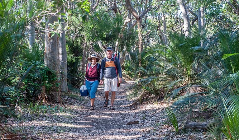
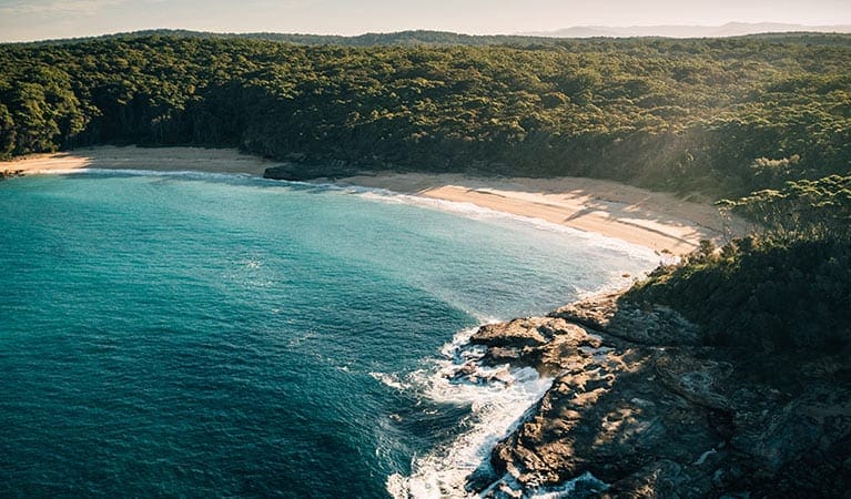
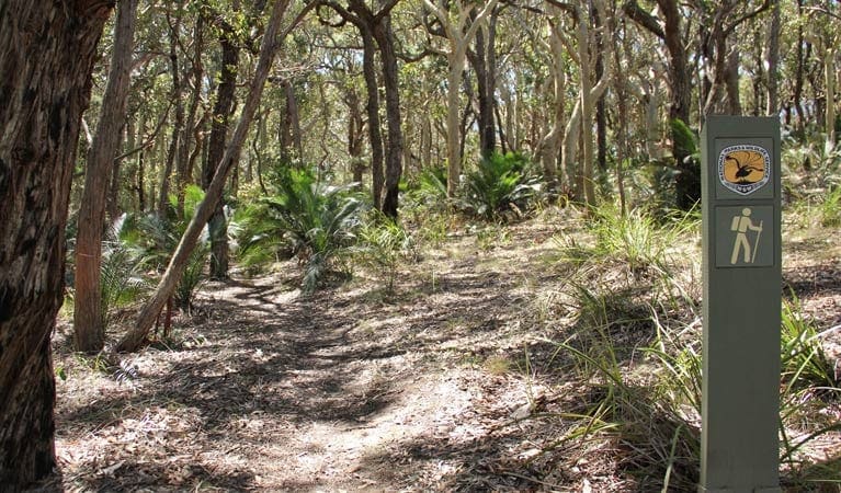
The track winds through a spotted gum forest, eventually opening up to reveal a unique cove. This hidden gem boasts a dramatic contrast: white sand on one side and black volcanic rock on the other, adorned with interesting rock formations. Explore the fascinating geology, look for fossils embedded in the rocks, or simply relax with a peaceful picnic on the beach.
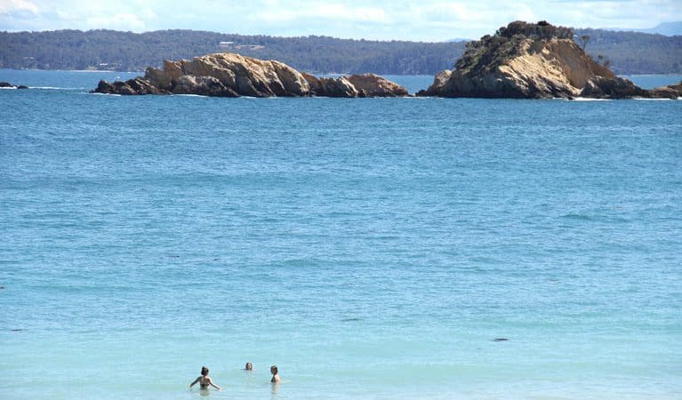
For the more adventurous, the crystal-clear waters beckon for a refreshing swim, while the diverse marine life makes Dark Beach a haven for fishing, snorkeling, or surfing. Keep your eyes peeled for playful dolphins or even majestic whales gracing the coastline during their migration (May to October).
If you're looking to extend your exploration, Dark Beach seamlessly connects to the Murramarang coastal walk, offering further opportunities to delve deeper into the park's natural beauty.
Track Grade
Grade 3 (Moderate) - Walks for Most Fitness Levels: Grade 3 on the AWTGS represents moderate walking tracks. These are ideal for walkers with some fitness who are comfortable with some hills and uneven terrain. While suitable for most ages, some bushwalking experience is recommended to ensure a safe and enjoyable experience. Tracks may have short, steep hill sections, a rough surface, and many steps. The total distance of a Grade 3 walk can be up to 20 kilometers.
Map and GPX file
Max elevation: 53 m
Min elevation: 24 m
Total climbing: 30 m
Total descent: -32 m
Trail Location (trailhead)
Sorry, no records were found. Please adjust your search criteria and try again.
Sorry, unable to load the Maps API.
Getting there
Accessible by car, the Dark Beach walking track is situated within the southern precinct of Murramarang National Park, under the Eurobodalla Shire administration. To reach the trailhead, travelers can travel north from Batemans Bay for roughly 15 kilometers. Look for the turnoff to South Durras and proceed along the unsealed Old Coast Road deeper into the park. After approximately 1 kilometer south of Murramarang Resort, you will see signage for the Dark Beach/Myrtle Beach carpark. This is where you can conveniently park your vehicle before commencing your hike.
Photo gallery
If you have any photos from this hike and are happy to share them, please upload your .jpg files here.
Please note: Uploading photos does not transfer ownership of copyright away from you. If requested, you will be credited for any photos you provide and can ask they be deleted at any time.
About the region
Murramarang National Park, a nature lover's paradise, stretches along 44 kilometers of dramatic coastline on the NSW south coast, near Batemans Bay. Here, visitors can camp under the shade of spotted gum trees that grow right down to the oceanfront, creating a stunning backdrop for a year-round escape. The park offers a variety of activities. Hike or bike along the trails, explore the cliffs and headlands, or relax on pristine beaches. Take a dip in the ocean, go surfing, or cast a fishing line for your dinner. Keep an eye out for eastern grey kangaroos and the abundant birdlife that call the park home.
The park is particularly famous for the multi-day Murramarang South Coast Walk, a spectacular 3-day adventure for experienced hikers. But there are options for all fitness levels. Explore the Durras Lake discovery trail, perfect for a family outing with children, or rent a canoe to paddle around the calm waters of Durras Lake. Whether you're looking for a day trip or a longer stay, Murramarang National Park has something for everyone. Choose from a variety of camping options, including caravan and motorhome sites with amenities, or book a cabin for a more comfortable stay.
Similar trails nearby
Explore Safe
While planning your hike, it’s important to check official government sources for updated information, temporary closures and trail access requirements. Before hitting the trail, check local weather and bushfire advice for planned burns and bushfire warnings and let someone know before you go. Plan ahead and hike safely.
Let someone know
Adventure with peace of mind: Fill out your trip intentions form. Before you hit the trail, fill out an online form to privately send important details about your hike to your family or friends. If you don’t return on time, they can easily alert emergency services, preventing worry and ensuring a swift response. Hike with peace of mind and enjoy your outdoor adventure to the fullest. Be smart, be safe: Register your plans here.
Gear to consider
What you carry in your pack will depend on the weather, terrain, time of year, type of adventure, and personal preferences. Having trouble deciding what gear’s right for you? My free planning, food and packing checklists provide an introduction to things your could consider (as well as the Ten Essentials) on your day, overnight and multi-day adventures. Customise your kit according to your personal needs, always considering safety first.
Suggest an edit
Trail changed? New features discovered? Has the route changed? Trail permanently closed? Help fellow hikers by suggesting edits! Click above to update route descriptions, GPX file, trail features (like boardwalks), or access conditions (like parking availability). Help me keep the trails info fresh!
Weather
Acknowledgement of Country
Trail Hiking Australia acknowledges the Traditional Owners of the lands on which we hike and pay respects to their Elders, past and present, and we acknowledge the First Nations people of other communities who may be here today.


