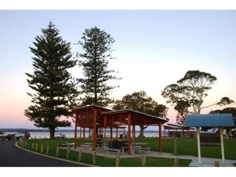
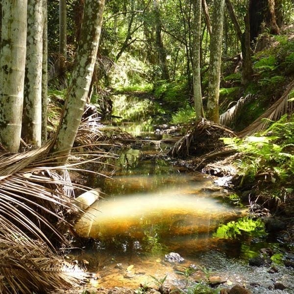
Circumnavigation of Coochiemudlo Island along the beach, foreshore area, shared road, footpath, past environmental reserves and Moreton Bay. The island supports a sizeable curlew community and has unique specimens of mature Bribie Island Pines, Scribbly Gums and Brush Box. The island is easily reached by a short ferry trip from Victoria Point. Although Coochie, as the island is known locally, is only five square kilometres in size, it boasts more than four kilometres of beautiful safe beaches, which are ideal for the kids.
Got some great shots from this hike? Upload your photos here to inspire others and show off the beauty of the trail!
Submitting your photos doesn’t mean you lose ownership. You can be credited for your contributions, and you can request removal at any time.
Please don’t copy GPX files or content from this site to AllTrails or other platforms. Each trail has been personally mapped, documented, and refined to support Australia’s bushwalking and hiking community. While some details come from land managers, every listing reflects significant personal effort. This is a free, community-driven initiative—your respect helps keep it that way.
It looks like I don’t have a GPX file for this trail yet. If you have one to share, please email it to me! I’ll verify it against official maps before adding it to help other hikers have a safer, easier experience. Thanks for contributing to a better hiking resource.
Getting there
Getting to the trailhead: Coochiemudlo Island.
Closest towns to this walk: Cleveland, Ormiston, Redland Bay, Thornlands, Victoria Point
About the region
Coochiemudlo Island is a small island in the southern part of Moreton Bay, near Brisbane, in South East Queensland, Australia. It is also the name of the locality upon the island, but the town is officially called Coochie, both of which are within the local government area of Redland City.
The island is approximately 1 kilometre (0.62 mi) from Victoria Point, also in Redland City. A natural cliff composed of iron-rich rock is exposed on the south western side of the island. Sandy beaches wrap around the island's southern, eastern and northern sides. Mangroves cover the western foreshore of the island.
For more information on this hiking trail, please visit Queensland.com
Similar walks nearby
Looking for more walks in or near Coochiemudlo Island? Try these trails with a similar difficulty grade.
Favourite

Favourite

Eastern Escarpment Conservation Area
Favourite

Redlands IndigiScapes Centre
Favourite

Koala Bushland Coordinated Conservation Area
Track grade
Grade 2 (Easy) - A Gentle Introduction to Inclines: Grade 2 on the
AWTGS represents easy walking tracks that offer a slightly more challenging experience compared to Grade 1. Similar to Grade 1, no prior bushwalking experience is required. The track surface is typically hardened or compacted and may have gentle hill sections or occasional steps. The total distance of a Grade 2 walk is typically no greater than 10 kilometers. These walks are still suitable for families with a bit more experience or those seeking a gentle introduction to some inclines.
Explore safe
Plan ahead and hike safely! Carry enough water, pack layers for changing conditions, and bring safety gear like a torch, PLB, and reliable communication device. Check official sources for trail updates, closures, and access requirements, and review local weather and bushfire advice. Most importantly, share your plans with someone before you go. Being prepared makes for a safer and more enjoyable hike! Stay Safe, Explore More, and Always #ExploreSafe.
Packing checklists
What you carry in your pack depends on factors like weather, terrain, and your adventure type. Not sure what to bring? My free planning, food, and packing checklists are a great starting point, covering day hikes, overnight trips, and multi-day adventures. Use them to customise your kit and always prioritise safety.
Let someone know
Before heading out, take a moment to fill out your trip intentions form. It’s a quick way to share your hike details with family or friends. If something goes wrong, they can notify emergency services, ensuring a faster response and peace of mind. Stay safe and enjoy your adventure
Suggest an edit
Spotted a change on this trail? Maybe there are new features, the route has shifted, or the trail is permanently closed. Whatever the update, I’d love your input. Your feedback helps fellow hikers stay informed and ensures that our trail info stays fresh and reliable.


