Trail Fast Facts
Carlotta Arch walking track is an 800m, grade 3 hike in Jenolan Karst Conservation Reserve, New South Wales. This hike typically takes 40 minutes to complete.
Hike Overview
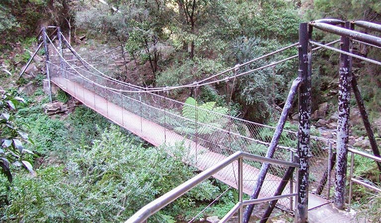
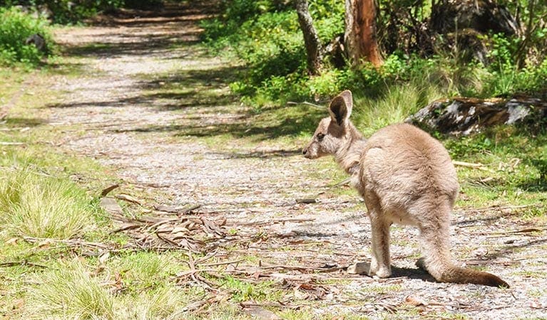
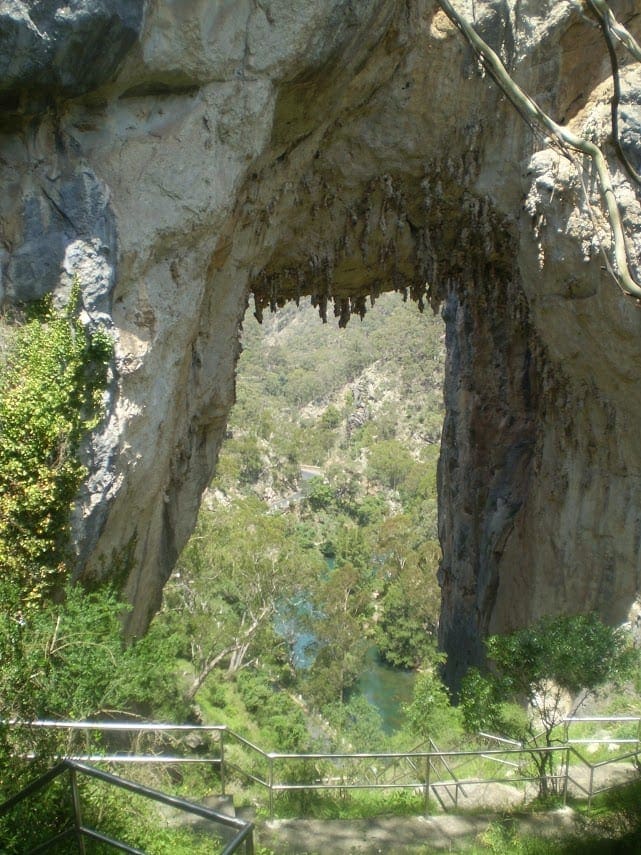
Be astounded by the beauty of the world's oldest cave system on the picturesque Carlotta Arch walking track, also known as Shaping Waters walk. Part of the exquisite Jenolan Caves network in the Greater Blue Mountains World Heritage Area, Carlotta Arch walking track leads you along a short, circular track and offers a stunning introduction to the reserve. Beginning opposite heritage-listed Caves House, the track climbs steeply uphill and incorporates plenty of steps, so you'll need a reasonable level of fitness to complete it. It's not a long walk though, and in no time you'll be face-to-face with the enormous freestanding limestone Carlotta Arch. From under Carlotta Arch, you can experience a bird's-eye view of the brilliant Blue Lake. Wander down into the massive Devil's Coach House cave, and check out Grand Arch before returning to Caves House. Visit any time of year to soak up the scenery, or go bird watching for lyrebirds and pretty little rock warblers. In warmer weather, you can spot Cunningham's skinks basking in the sunshine, while wallabies and other native wildlife are often nearby. As well as being a stunning spot to sightsee or relax after a day of caving, this majestic arch forms a sensational backdrop as a wedding venue.
Track Grade
Grade 3 (Moderate) - Walks for Most Fitness Levels: Grade 3 on the AWTGS represents moderate walking tracks. These are ideal for walkers with some fitness who are comfortable with some hills and uneven terrain. While suitable for most ages, some bushwalking experience is recommended to ensure a safe and enjoyable experience. Tracks may have short, steep hill sections, a rough surface, and many steps. The total distance of a Grade 3 walk can be up to 20 kilometers.
Tips
The section of road into Jenolan Valley is one-way from 11.45am to 1.15pm every day to allow coaches to enter Jenolan safely. Take Oberon Road if you're leaving Jenolan between these times.
The weather in this area can be extreme and unpredictable, so please ensure you're well-prepared for your visit.
Remember to take your binoculars if you want to go bird watching
Visit NSW National Parks and Wildlife Service for more information on this trail.
The longitude and latitude of the start and end points are approximately only and should not be used for navigation purposes. Please contact me if you know the correct coordinates.
Map and GPX file
Help fellow hikers navigate with confidence. Share your GPX or KML file for this trail and help build a more comprehensive resource with precise waypoints and elevation profiles. Your contribution will empower adventurers with details they need for a safer and more enjoyable experience. I meticulously verify every file using official maps and surveys, ensuring the highest level of accuracy and reliability. Submit your file now and become a trailblazer for your fellow outdoor enthusiasts.
Trail Location (trailhead)
Sorry, no records were found. Please adjust your search criteria and try again.
Sorry, unable to load the Maps API.
Getting there
To Jenolan Caves. Carlotta Arch walking track is in Jenolan Karst Conservation Reserve. To get there from Sydney:Take M4 Motorway, then Great Western Highway over Blue Mountains to Hartley.Turn off at Hartley onto Jenolan Caves RoadIt's approximately 45 minutes from here to the caves???? Park entry points Jenolan Caves See on map Parking Parking is available at any of the 3 main carparks at Jenolan Caves. Designated disabled parking spots can be found adjacent to the Guides Office and behind Caves House. Bus parking is also available.?? It can be a busy place on the weekend, so parking might be limited.
Photo gallery
If you have any photos from this hike and are happy to share them, please upload your .jpg files here.
Please note: Uploading photos does not transfer ownership of copyright away from you. If requested, you will be credited for any photos you provide and can ask they be deleted at any time.
About the region
Explore the caves at Jenolan Karst Conservation Reserve, near Oberon. It's a great daytrip from Sydney, or enjoy a weekend away staying in heritage accommodation. The Jenolan Caves are limestone caves located within the Jenolan Karst Conservation Reserve in the Central Tablelands region, west of the Blue Mountains, in Jenolan, Oberon Council, New South Wales, in eastern Australia.
Similar trails nearby
Explore Safe
While planning your hike, it’s important to check official government sources for updated information, temporary closures and trail access requirements. Before hitting the trail, check local weather and bushfire advice for planned burns and bushfire warnings and let someone know before you go. Plan ahead and hike safely.
Let someone know
Adventure with peace of mind: Fill out your trip intentions form. Before you hit the trail, fill out an online form to privately send important details about your hike to your family or friends. If you don’t return on time, they can easily alert emergency services, preventing worry and ensuring a swift response. Hike with peace of mind and enjoy your outdoor adventure to the fullest. Be smart, be safe: Register your plans here.
Gear to consider
What you carry in your pack will depend on the weather, terrain, time of year, type of adventure, and personal preferences. Having trouble deciding what gear’s right for you? My free planning, food and packing checklists provide an introduction to things your could consider (as well as the Ten Essentials) on your day, overnight and multi-day adventures. Customise your kit according to your personal needs, always considering safety first.
Suggest an edit
Trail changed? New features discovered? Has the route changed? Trail permanently closed? Help fellow hikers by suggesting edits! Click above to update route descriptions, GPX file, trail features (like boardwalks), or access conditions (like parking availability). Help me keep the trails info fresh!
Weather
Acknowledgement of Country
Trail Hiking Australia acknowledges the Traditional Owners of the lands on which we hike and pay respects to their Elders, past and present, and we acknowledge the First Nations people of other communities who may be here today.


