Trail Fast Facts
Bicentennial Trail is a 6km, grade 2 hike in Boyup Brook, Western Australia. This hike typically takes 2 hours to complete.
Warning
This hike is classified as Grade 2 (Easy) due to its distance exceeding the typical Grade 1 limit of 5km. While the terrain itself is relatively easy and may still be suitable for all abilities, feel free to turn back at any point for a shorter adventure.
Hike Overview
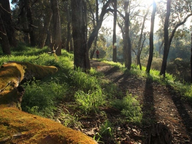
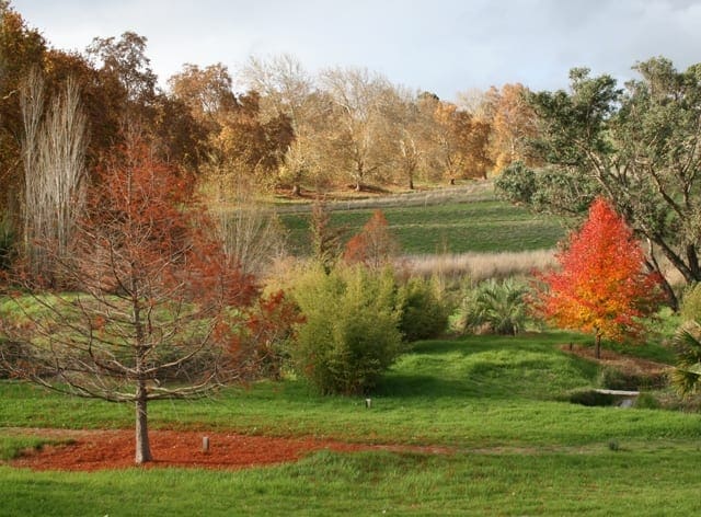
The easy six kilometre Bicentennial Walk traverses the town boundary of Boyup Brook. It passes through bush reserves, along the banks of the Blackwood River and the Boyup Brook.
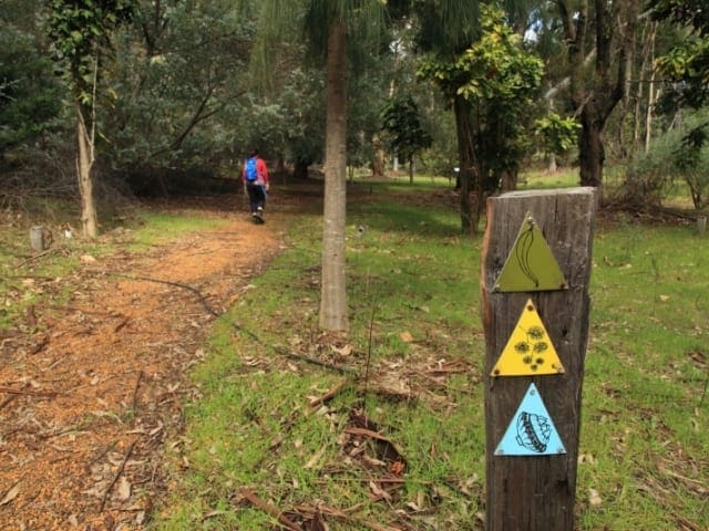
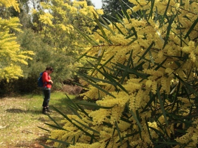
The 6km Bicentennial Walk traverses the town boundary. The walk trail is accessible from several points. It passes through bush reserves and along the banks of the Blackwood River and the Boyup Brook. The path can be started behind the old railway station, which has ample of parking and amenities. There are many wildflowers in season along this well kept path. Opportunities to picnic by the Blackwood River are found in the Lion's park and Music Park. The Boyup Brook Bicentennial Walk Trail is marked with the easy to follow, green signs depicted here.
Track Grade
Grade 2 (Easy) - A Gentle Introduction to Inclines: Grade 2 on the AWTGS represents easy walking tracks that offer a slightly more challenging experience compared to Grade 1. Similar to Grade 1, no prior bushwalking experience is required. The track surface is typically hardened or compacted and may have gentle hill sections or occasional steps. The total distance of a Grade 2 walk is typically no greater than 10 kilometers. These walks are still suitable for families with a bit more experience or those seeking a gentle introduction to some inclines.
Map and GPX file
Help fellow hikers navigate with confidence. Share your GPX or KML file for this trail and help build a more comprehensive resource with precise waypoints and elevation profiles. Your contribution will empower adventurers with details they need for a safer and more enjoyable experience. I meticulously verify every file using official maps and surveys, ensuring the highest level of accuracy and reliability. Submit your file now and become a trailblazer for your fellow outdoor enthusiasts.
Trail Location (trailhead)
Sorry, no records were found. Please adjust your search criteria and try again.
Sorry, unable to load the Maps API.
Photo gallery
If you have any photos from this hike and are happy to share them, please upload your .jpg files here.
Please note: Uploading photos does not transfer ownership of copyright away from you. If requested, you will be credited for any photos you provide and can ask they be deleted at any time.
About the region
Boyup Brook is a town in the south-west of Western Australia, 269 kilometres south-southeast of Perth and 31 kilometres northeast of Bridgetown. The town lies on Kaniyang land within the Noongar nation.
Similar trails nearby
Explore Safe
While planning your hike, it’s important to check official government sources for updated information, temporary closures and trail access requirements. Before hitting the trail, check local weather and bushfire advice for planned burns and bushfire warnings and let someone know before you go. Plan ahead and hike safely.
Let someone know
Adventure with peace of mind: Fill out your trip intentions form. Before you hit the trail, fill out an online form to privately send important details about your hike to your family or friends. If you don’t return on time, they can easily alert emergency services, preventing worry and ensuring a swift response. Hike with peace of mind and enjoy your outdoor adventure to the fullest. Be smart, be safe: Register your plans here.
Gear to consider
What you carry in your pack will depend on the weather, terrain, time of year, type of adventure, and personal preferences. Having trouble deciding what gear’s right for you? My free planning, food and packing checklists provide an introduction to things your could consider (as well as the Ten Essentials) on your day, overnight and multi-day adventures. Customise your kit according to your personal needs, always considering safety first.
Suggest an edit
Trail changed? New features discovered? Has the route changed? Trail permanently closed? Help fellow hikers by suggesting edits! Click above to update route descriptions, GPX file, trail features (like boardwalks), or access conditions (like parking availability). Help me keep the trails info fresh!
Weather
Acknowledgement of Country
Trail Hiking Australia acknowledges the Traditional Owners of the lands on which we hike and pay respects to their Elders, past and present, and we acknowledge the First Nations people of other communities who may be here today.


