Trail Fast Facts
Antarctic Beech Forest walking track is a 2.5km, grade 3 hike in Barrington Tops National Park, New South Wales. This hike typically takes 1.25 hours to complete.
Hike Overview
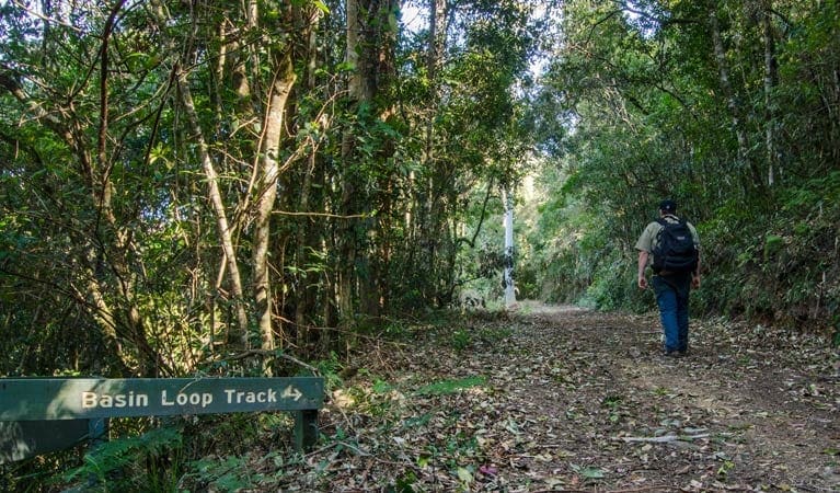
Unveiling the ancient wonders of the Gondwana era, the Antarctic Beech Forest walking track in Barrington Tops National Park offers a captivating experience for nature enthusiasts. This moderate track, situated near Gloucester Tops, invites you to wander through a lush rainforest teeming with diverse plant and animal life.
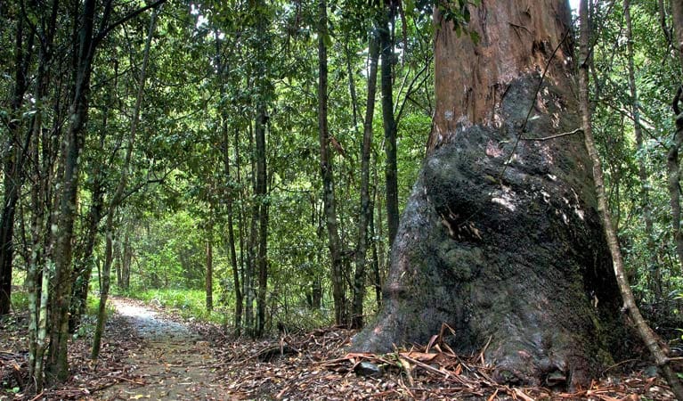
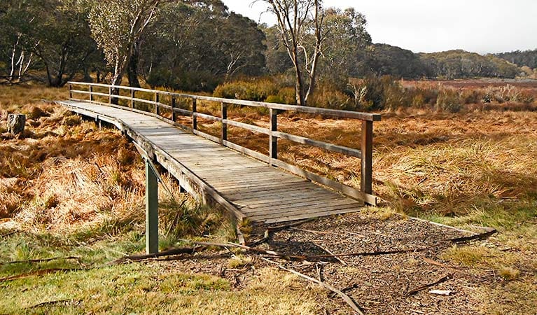
Part of the renowned Gloucester Tops circuit, the trail initially winds through open woodlands dominated by snow gums. As you delve deeper, the landscape transforms, giving way to the cool, temperate embrace of a towering rainforest. Here, the dense canopy of Antarctic beech trees filters the sunlight, casting an ethereal glow upon the vibrant moss that carpets the forest floor. The crisp air carries the earthy scent of decomposing leaves, while tree ferns line the path, leading you towards enchanting, mossy cascades.
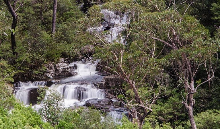
This captivating section of the track, where beech and eucalypt forests intertwine, provides a haven for the elusive rufous scrub-bird, one of Australia's rarest avian residents. Continuing your exploration, you'll descend into a rocky gorge, witnessing the raw power of cascading white water tumbling over dramatic black rocks. After conquering this moderately steep climb, you'll be well-deserving of a rest and a bite to eat at either Gloucester Tops picnic area or Gloucester Falls picnic area, both conveniently located nearby.
Track Grade
Grade 3 (Moderate) - Walks for Most Fitness Levels: Grade 3 on the AWTGS represents moderate walking tracks. These are ideal for walkers with some fitness who are comfortable with some hills and uneven terrain. While suitable for most ages, some bushwalking experience is recommended to ensure a safe and enjoyable experience. Tracks may have short, steep hill sections, a rough surface, and many steps. The total distance of a Grade 3 walk can be up to 20 kilometers.
Tips
- Be weather aware: Review the forecast before your visit, as wet weather can affect road access to Gloucester River and Gloucester Tops.
- Enhance your wildlife spotting: Bring binoculars to identify the park's abundant birdlife.
Map and GPX file
Max elevation: 1215 m
Min elevation: 1167 m
Total climbing: 76 m
Total descent: -76 m
Trail Location (trailhead)
Sorry, no records were found. Please adjust your search criteria and try again.
Sorry, unable to load the Maps API.
Getting there
Accessing the Antarctic Beech Forest walking track is straightforward and suitable for most vehicles. Situated within the Gloucester Tops precinct of Barrington Tops National Park, the trailhead is conveniently located at the Antarctic Beech Forest carpark.
Travelers coming from Bucketts Way, located between Gloucester and Stroud, can turn onto Gloucester Tops Road and follow it until reaching the Gloucester River. Continue past the river for roughly 40 minutes, keeping an eye out for the left turn that leads directly to the Antarctic Beech Forest carpark. With ample parking available right across from the track entrance, you can easily begin your exploration of this enchanting rainforest trail.
Photo gallery
If you have any photos from this hike and are happy to share them, please upload your .jpg files here.
Please note: Uploading photos does not transfer ownership of copyright away from you. If requested, you will be credited for any photos you provide and can ask they be deleted at any time.
About the region
The Barrington Tops National Park offers a diverse range of experiences for every visitor. Immerse yourself in the World Heritage-listed Gondwana Rainforests, teeming with ancient walking trails, cascading waterfalls, and breathtaking lookouts. Explore the park's extensive network of walking tracks, catering to all levels, from gentle strolls to challenging overnight hikes. Scenic picnic areas and cycling trails provide perfect options for day trips.
Carved by ancient volcanic flows, the park boasts one of mainland Australia's largest temperate rainforests. Rising from near sea level to over 1,500 metres, it encompasses diverse habitats teeming with birdlife and animals. Camping enthusiasts can find designated spots for an unforgettable evening under the stars.
For those seeking adventure, options abound. Kayak across serene waters, challenge yourself with abseiling, or explore the terrain on a mountain bike. At the foothills, Chichester State Forest offers stunning scenery along the Allyn River, with campsites even welcoming your canine companions.
Beyond the park, discover the charming towns of Dungog and Gloucester. Gloucester, nicknamed the "basecamp for Barrington Tops," provides a welcoming gateway to your Gondwana adventures. Enjoy a refreshing dip in Ladies Well on a hot day, or venture further for hiking and picnicking opportunities in nearby Mount Royal National Park. Trout fishing enthusiasts can cast their lines in the Gloucester River between October and June.
Barrington Tops National Park, a magnificent region near the Hunter Valley and Upper Hunter, is easily accessible. Just a few hours' drive north of Sydney or a short trip from Newcastle and Port Stephens, this World Heritage wonder awaits exploration.
Similar trails nearby
Explore Safe
While planning your hike, it’s important to check official government sources for updated information, temporary closures and trail access requirements. Before hitting the trail, check local weather and bushfire advice for planned burns and bushfire warnings and let someone know before you go. Plan ahead and hike safely.
Let someone know
Adventure with peace of mind: Fill out your trip intentions form. Before you hit the trail, fill out an online form to privately send important details about your hike to your family or friends. If you don’t return on time, they can easily alert emergency services, preventing worry and ensuring a swift response. Hike with peace of mind and enjoy your outdoor adventure to the fullest. Be smart, be safe: Register your plans here.
Gear to consider
What you carry in your pack will depend on the weather, terrain, time of year, type of adventure, and personal preferences. Having trouble deciding what gear’s right for you? My free planning, food and packing checklists provide an introduction to things your could consider (as well as the Ten Essentials) on your day, overnight and multi-day adventures. Customise your kit according to your personal needs, always considering safety first.
Suggest an edit
Trail changed? New features discovered? Has the route changed? Trail permanently closed? Help fellow hikers by suggesting edits! Click above to update route descriptions, GPX file, trail features (like boardwalks), or access conditions (like parking availability). Help me keep the trails info fresh!
Weather
Acknowledgement of Country
Trail Hiking Australia acknowledges the Traditional Owners of the lands on which we hike and pay respects to their Elders, past and present, and we acknowledge the First Nations people of other communities who may be here today.


