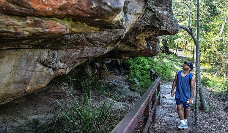
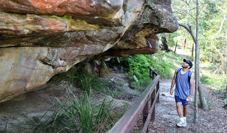
This walk is a great way to see two major Aboriginal sites and up to three of Ku-ring-gai Chase's beaches. The circuit walk visits Red Hands Cave and some historic engravings in addition to enjoying expansive views over Pittwater with Barrenjoey Headland as a feature. The walk includes Resolute and West Head beaches and the option of a side trip to Mackerel Beach as well. To top it all off this walk has an added bonus of a WWII gun emplacement to explore.
Download maps and tracknotes for Headland track (Resolute track) hiking track from wildwalks.com.
Got some great shots from this hike? Upload your photos here to inspire others and show off the beauty of the trail!
Submitting your photos doesn’t mean you lose ownership. You can be credited for your contributions, and you can request removal at any time.
Please don’t copy GPX files or content from this site to AllTrails or other platforms. Each trail has been personally mapped, documented, and refined to support Australia’s bushwalking and hiking community. While some details come from land managers, every listing reflects significant personal effort. This is a free, community-driven initiative—your respect helps keep it that way.
It looks like I don’t have a GPX file for this trail yet. If you have one to share, please email it to me! I’ll verify it against official maps before adding it to help other hikers have a safer, easier experience. Thanks for contributing to a better hiking resource.
Getting there
Getting to the trailhead: Ku-ring-gai Chase National Park.
Closest towns to this walk: Akuna Bay, Bayview, Berowra, Berowra Heights, Bobbin Head, Church Point, Davidson, Elanora Heights, Frenchs Forest, Gordon, Hornsby, Ingleside, Manly, Mona Vale, Mosman, Mount Colah, Newport, North Narrabeen, North Sydney, North Turramurra, Pittwater, Pymble, St Ives, Terrey Hills, Wahroonga, Warrimoo, Warringah
About the region
Located in Sydney's north, Ku-ring-gai Chase National Park combines important history with scenic beauty, making it perfect for school excursions. Bobbin Head is a great place for a family picnic, and parts of the park are ideal for cycling, fishing and bushwalking.
Australia's second-oldest national park, Ku-ring-gai Chase National Park is a recreational favourite for locals and visitors alike. This large park, in Sydney's north, lets you feel at one with nature without leaving the Sydney metropolitan area. A heritage-listed park, it combines important history with scenic beauty.
Winding creeks and stretches of ocean meet rainforest and eucalypts, rocky cliffs and mangroves. Camp at The Basin or spend your time exploring walking tracks, mountain biking trails, breathtaking lookouts and significant Aboriginal sites. You'll still have plenty of time to discover its marinas, cafes, kiosks and well-equipped picnic areas."
Similar walks nearby
Looking for more walks in or near Ku-ring-gai Chase National Park? Try these trails with a similar difficulty grade.
Favourite

Ku-ring-gai Chase National Park
Favourite

Ku-ring-gai Chase National Park
Favourite

Ku-ring-gai Chase National Park
Favourite

Ku-ring-gai Chase National Park
Track grade
Grade 4 (Hard) -
Challenging Walks for Experienced Walkers: Grade 4 on the
AWTGS signifies challenging walking tracks. Bushwalking experience is recommended for these tracks, which may be long, rough, and very steep. Directional signage may be limited, requiring a good sense of navigation. These walks are suited for experienced walkers who are comfortable with steeper inclines, rougher terrain, and potentially longer distances.
Explore safe
Plan ahead and hike safely! Carry enough water, pack layers for changing conditions, and bring safety gear like a torch, PLB, and reliable communication device. Check official sources for trail updates, closures, and access requirements, and review local weather and bushfire advice. Most importantly, share your plans with someone before you go. Being prepared makes for a safer and more enjoyable hike! Stay Safe, Explore More, and Always #ExploreSafe.
Packing checklists
What you carry in your pack depends on factors like weather, terrain, and your adventure type. Not sure what to bring? My free planning, food, and packing checklists are a great starting point, covering day hikes, overnight trips, and multi-day adventures. Use them to customise your kit and always prioritise safety.
Let someone know
Before heading out, take a moment to fill out your trip intentions form. It’s a quick way to share your hike details with family or friends. If something goes wrong, they can notify emergency services, ensuring a faster response and peace of mind. Stay safe and enjoy your adventure
Suggest an edit
Spotted a change on this trail? Maybe there are new features, the route has shifted, or the trail is permanently closed. Whatever the update, I’d love your input. Your feedback helps fellow hikers stay informed and ensures that our trail info stays fresh and reliable.


