Hike at a Glance
Max elevation: 0m
Min elevation: 0m
Total Ascent: 0m
Hike overview
Offering a short walk through some of South Coast NSW's most delightful bushland, George Boyd Rainforest walking track leads you beneath towering cliffs of sandstone.
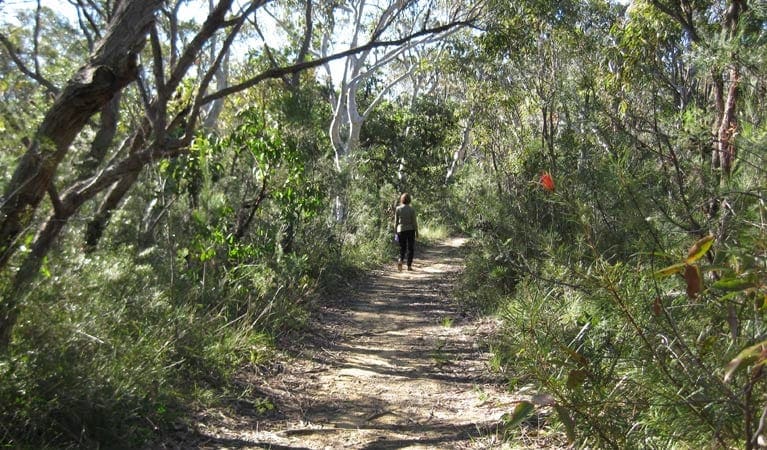
Begin this sun-dappled track at George Boyd picnic area, then climb the steps and wind your way along the base of looming sandstone walls, stopping to gaze at the mighty coachwood trees along the way.
See if you can spot any wildlife as you meander through the verdant rainforest and towering turpentines. Looking carefully, you might see anything from wallabies and echidnas to lyrebirds and cat birds in this part of Morton National Park, so remember to bring your camera as well as your binoculars if you're keen on some birdwatching.
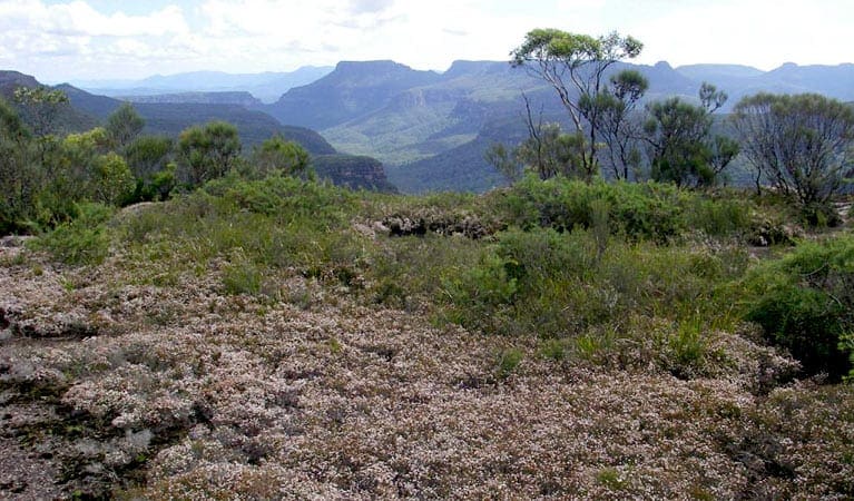
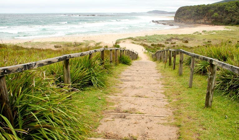
At the end of the track, simply scale a short ladder to enjoy unrestricted views of the beautiful Shoalhaven coastline. Return via the loop walk to the picnic area and, if you've planned ahead, to a tasty picnic lunch.
Tips
Check the weather before you set out as the road to George Boyd walking track can become boggy when it rains
There's limited mobile reception in this park
Visit NSW National Parks and Wildlife Service for more information on this trail.
The longitude and latitude of the start and end points are approximately only and should not be used for navigation purposes. Please contact me if you know the correct coordinates.
Gallery
Got some great shots from this hike? Upload your photos here to inspire others and show off the beauty of the trail!
Click to view form >>
Submitting your photos doesn’t mean you lose ownership. You can be credited for your contributions, and you can request removal at any time.
Content use
Please don’t copy GPX files or content from this site to AllTrails or other platforms. Each trail has been personally mapped, documented, and refined to support Australia’s bushwalking and hiking community. While some details come from land managers, every listing reflects significant personal effort. This is a free, community-driven initiative—your respect helps keep it that way.
Walk map and GPX file
It looks like I don’t have a GPX file for this trail yet. If you have one to share, please email it to me! I’ll verify it against official maps before adding it to help other hikers have a safer, easier experience. Thanks for contributing to a better hiking resource.
Getting there
Getting to the trailhead: Morton National Park.
George Boyd Rainforest walking track is in the George Boyd precinct of Morton National Park. To get there from Conjola:Drive north on Princes HighwayAbout 4km north of Bendalong Road, turn left onto Twelve Mile Road and continue for about 8km.The start of the walk is at the first picnic area on the left amongst the sandstone cliffs Parking Parking is available at the George Boyd picnic area carpark, a short walk from the trackhead.
Closest towns to this walk: Albion Park, Bendeela, Berrima, Berry, Bowral, Bundanoon, Burrier, Culburra Beach, Fitzroy Falls, Kangaroo Valley, Mittagong, Moss Vale, Nowra, Robertson, Wingello
About the region
Easily accessible from Nowra, Morton National Park is great for a daytrip or school excursion. Visit Fitzroy Falls for scenic waterfall views; go mountain biking, walking or enjoy a picnic lunch.
Be enthralled by nature on a grand scale at Morton National Park. If the cascading Fitzroy Falls don't leave you breathless, try the sweeping views from the top of Pigeon House Mountain Didthul.
This enormous park really does have something for everyone; whether you're an experienced bushwalker looking for remote wilderness hiking, a novice mountain biker looking for an easy ride or a keen photographer looking for some scenic waterfalls to capture.
You'll find imposing gorges dissecting the landscape alongside pockets of rainforest that are full of wildlife. There are a number of well equipped picnic areas and numerous informal spots where you can stop for a break to enjoy the view and if you'd like to go camping, head to Gambells Rest campground in the Bundanoon precinct of the park.
The park is easily accessible from Bundanoon, Kangaroo Valley, Nowra and Ulladulla, so it makes for a great day trip or weekend getaway.
Similar walks nearby
Looking for more walks in or near Morton National Park? Try these trails with a similar difficulty grade.
Track grade
Grade 4 (Hard) - Challenging Walks for Experienced Walkers: Grade 4 on the AWTGS signifies challenging walking tracks. Bushwalking experience is recommended for these tracks, which may be long, rough, and very steep. Directional signage may be limited, requiring a good sense of navigation. These walks are suited for experienced walkers who are comfortable with steeper inclines, rougher terrain, and potentially longer distances.
Explore safe
Plan ahead and hike safely! Carry enough water, pack layers for changing conditions, and bring safety gear like a torch, PLB, and reliable communication device. Check official sources for trail updates, closures, and access requirements, and review local weather and bushfire advice. Most importantly, share your plans with someone before you go. Being prepared makes for a safer and more enjoyable hike! Stay Safe, Explore More, and Always #ExploreSafe.
Packing checklists
What you carry in your pack depends on factors like weather, terrain, and your adventure type. Not sure what to bring? My free planning, food, and packing checklists are a great starting point, covering day hikes, overnight trips, and multi-day adventures. Use them to customise your kit and always prioritise safety.
Let someone know
Before heading out, take a moment to fill out your trip intentions form. It’s a quick way to share your hike details with family or friends. If something goes wrong, they can notify emergency services, ensuring a faster response and peace of mind. Stay safe and enjoy your adventure
Suggest an edit
Spotted a change on this trail? Maybe there are new features, the route has shifted, or the trail is permanently closed. Whatever the update, I’d love your input. Your feedback helps fellow hikers stay informed and ensures that our trail info stays fresh and reliable.
Acknowledgement of Country
Trail Hiking Australia acknowledges the Traditional Owners of the lands on which we hike and pay respects to their Elders, past and present, and we acknowledge the First Nations people of other communities who may be here today.


