Hike at a Glance
Max elevation: 0m
Min elevation: 0m
Total Ascent: 0m
Hike overview
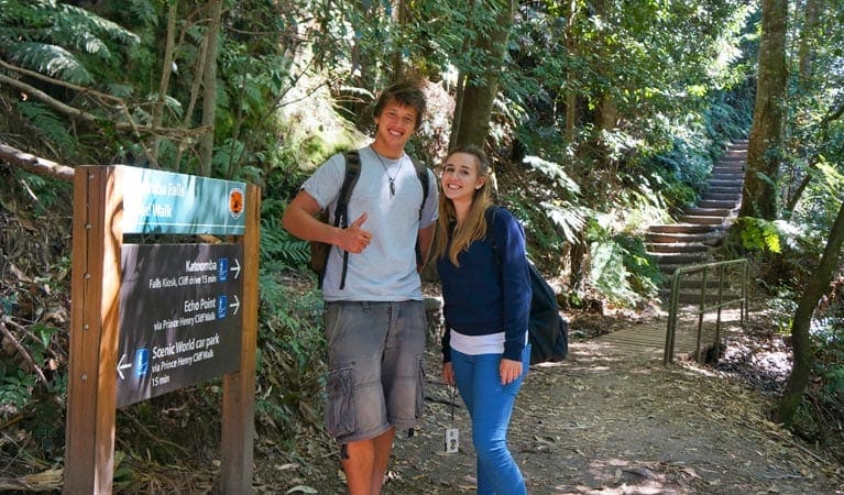
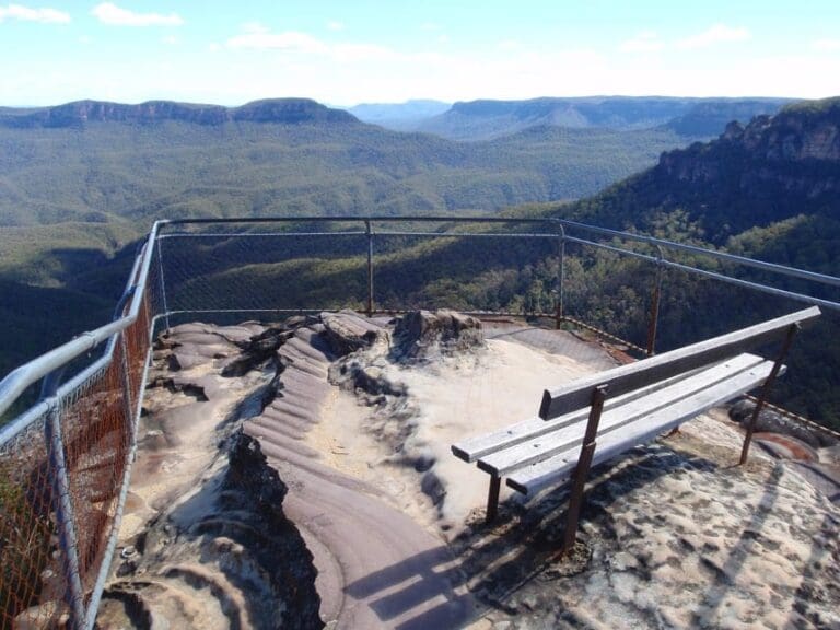
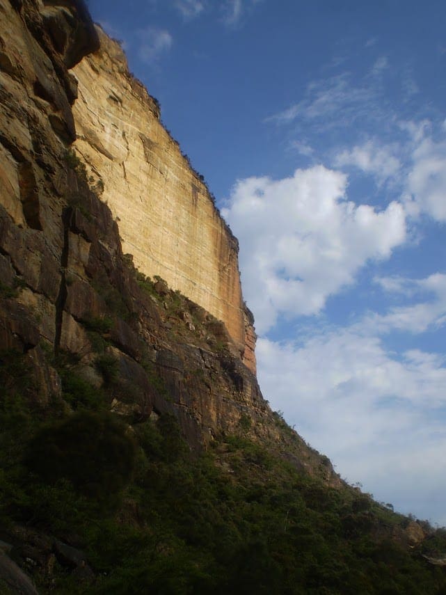
If you love places where mountains and water meet, try this popular track into Jamison Valley in Blue Mountains National Park. The difficult Furber Steps-Scenic Railway walking track is full of superb views and a brilliant day trip for walkers who love a challenge with a scenic view.
Descending through the valley, you'll enter a world of lush rainforest and cascading waterfalls. Stopping to gaze across at majestic Mount Solitary rising out of the valley floor, you might hear the call of the catbird or wompa pigeon. Remember to take your binoculars if you want to bird watch.
Explore the lush valley on a number of short detours, making sure to stop for a memorable picnic beside the tumbling waters of Katoomba Falls. The opportunity to take the world-famous Scenic Railway or Scenic Cableway back to the top might just be too irresistible. However, if you're after more heart-pumping action, return back up the stairs.
Take a virtual tour of Furber Steps-Scenic Railway walking track captured with Google Street View Trekker.
Tips
The last departure for the day on the Scenic Railway is 4.50pm.
It's a good idea to fill in the free trip intention form and hire a PLB when planning your hike. Bring a topographic map and compass, or a GPS
Visit NSW National Parks and Wildlife Service for more information on this trail.
The longitude and latitude of the start and end points are approximately only and should not be used for navigation purposes. Please contact me if you know the correct coordinates.
Gallery
Got some great shots from this hike? Upload your photos here to inspire others and show off the beauty of the trail!
Click to view form >>
Submitting your photos doesn’t mean you lose ownership. You can be credited for your contributions, and you can request removal at any time.
Content use
Please don’t copy GPX files or content from this site to AllTrails or other platforms. Each trail has been personally mapped, documented, and refined to support Australia’s bushwalking and hiking community. While some details come from land managers, every listing reflects significant personal effort. This is a free, community-driven initiative—your respect helps keep it that way.
Walk map and GPX file
It looks like I don’t have a GPX file for this trail yet. If you have one to share, please email it to me! I’ll verify it against official maps before adding it to help other hikers have a safer, easier experience. Thanks for contributing to a better hiking resource.
Getting there
Getting to the trailhead: Blue Mountains National Park.
To Scenic World. Furber Steps-Scenic Railway walking track is in the Katoomba precinct of Blue Mountains National Park. The walking track starts at Scenic World. To get there:Turn off the Great Western Highway at Cliff Drive in LeuraFollow the signs the Scenic World Park entry points Scenic World See on map Parking Parking is available at Scenic World or opposite Katoomba Falls Kiosk near Katoomba Caravan Park. It can be a busy place on the weekend, so parking might be limited.
Closest towns to this walk: Blackheath, Bullaburra, Hazelbrook, Katoomba, Lawson, Leura, Lithgow, Mount Victoria, Springwood, Wentworth Falls, Woodford
About the region
Blue Mountains National Park in the Sydney and surrounds and Country NSW regions
Blue Mountains National Park is always open but may have to close at times due to poor weather or fire danger. Some parts of the park close overnight; details are provided for specific attractions.
9am to 4.30pm daily. Closed Christmas Day.
Similar walks nearby
Looking for more walks in or near Blue Mountains National Park? Try these trails with a similar difficulty grade.
Track grade
Grade 3 (Moderate) - Walks for Most Fitness Levels: Grade 3 on the AWTGS represents moderate walking tracks. These are ideal for walkers with some fitness who are comfortable with some hills and uneven terrain. While suitable for most ages, some bushwalking experience is recommended to ensure a safe and enjoyable experience. Tracks may have short, steep hill sections, a rough surface, and many steps. The total distance of a Grade 3 walk can be up to 20 kilometers.
Explore safe
Plan ahead and hike safely! Carry enough water, pack layers for changing conditions, and bring safety gear like a torch, PLB, and reliable communication device. Check official sources for trail updates, closures, and access requirements, and review local weather and bushfire advice. Most importantly, share your plans with someone before you go. Being prepared makes for a safer and more enjoyable hike! Stay Safe, Explore More, and Always #ExploreSafe.
Packing checklists
What you carry in your pack depends on factors like weather, terrain, and your adventure type. Not sure what to bring? My free planning, food, and packing checklists are a great starting point, covering day hikes, overnight trips, and multi-day adventures. Use them to customise your kit and always prioritise safety.
Let someone know
Before heading out, take a moment to fill out your trip intentions form. It’s a quick way to share your hike details with family or friends. If something goes wrong, they can notify emergency services, ensuring a faster response and peace of mind. Stay safe and enjoy your adventure
Suggest an edit
Spotted a change on this trail? Maybe there are new features, the route has shifted, or the trail is permanently closed. Whatever the update, I’d love your input. Your feedback helps fellow hikers stay informed and ensures that our trail info stays fresh and reliable.
Acknowledgement of Country
Trail Hiking Australia acknowledges the Traditional Owners of the lands on which we hike and pay respects to their Elders, past and present, and we acknowledge the First Nations people of other communities who may be here today.


