Hike at a Glance
Max elevation: 237m
Min elevation: 87m
Total Ascent: 174m
Hike overview
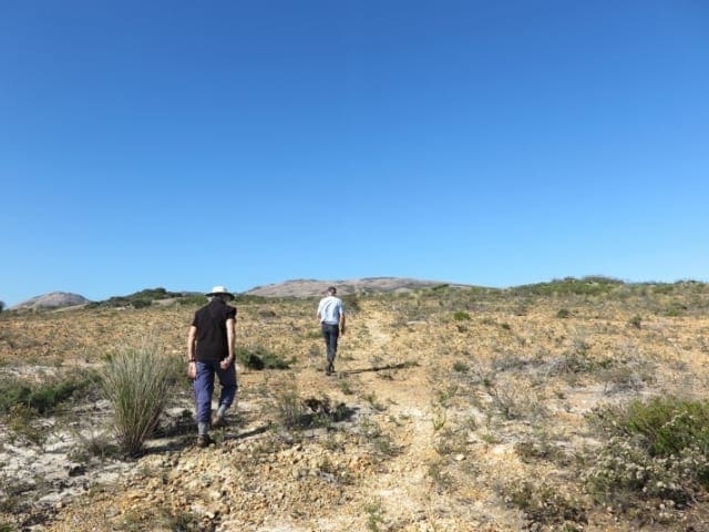
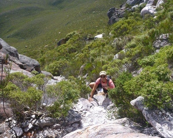
Located in Cape Le Grand National Park, the Frenchman Peak Trail offers a challenging 3-kilometer (return) hike rewarded with stunning panoramic views. The trail takes approximately 2 hours to complete and is rated as grade 5, meaning it's a steep and demanding climb.
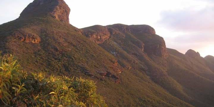
The peak itself is part of an impressive chain formed by massive outcrops of granite and gneiss, sculpted by over 600 million years of erosion and Earth's crust movements. Caves and tunnels found within these peaks are believed to be remnants of a time when sea levels were much higher, around 40 million years ago.
In 1870, explorer John Forrest and his brother, surveyor Alexander Forrest, passed through this area. Alexander named the peak "Frenchman Peak" due to its resemblance to a figure wearing a Frenchman's cap. The traditional Aboriginal name for the peak is Mandooboornup.
Starting from the Cape Le Grand National Park carpark, the trail follows an east-facing slope, offering a gradual incline. It's crucial to stick to the designated path and avoid shortcuts, as the granite rock can be deceptively steep, especially on the descent. Due to the challenging terrain, this hike is not recommended during wet or windy weather.
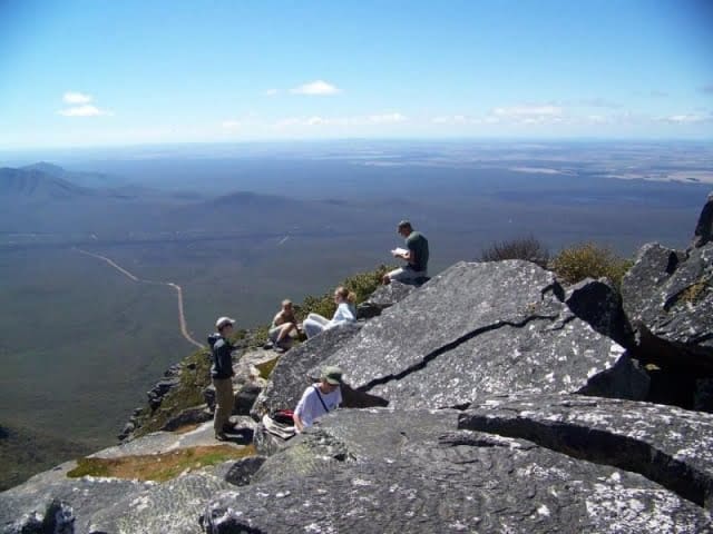
Despite the difficulty, the summit rewards hikers with breathtaking panoramas. Take in the vastness of the southern coastline, the Recherche Archipelago islands, and the rugged beauty of Cape Le Grand National Park itself, with its iconic bays, sweeping heathlands, and granite peaks.
Don't underestimate this hike. While the distance may seem manageable, the steep terrain makes it a demanding climb. However, the stunning views from the summit make the effort worthwhile.
Gallery
Got some great shots from this hike? Upload your photos here to inspire others and show off the beauty of the trail!
Click to view form >>
Submitting your photos doesn’t mean you lose ownership. You can be credited for your contributions, and you can request removal at any time.
Content use
Please don’t copy GPX files or content from this site to AllTrails or other platforms. Each trail has been personally mapped, documented, and refined to support Australia’s bushwalking and hiking community. While some details come from land managers, every listing reflects significant personal effort. This is a free, community-driven initiative—your respect helps keep it that way.
Walk map and GPX file
Max elevation: 237 m
Min elevation: 87 m
Total climbing: 174 m
Total descent: -175 m
Getting there
Getting to the trailhead: Cape Le Grand National Park.
Cape Le Grand National Park is approximately 45-minute drive from Esperance, Western Australia.
Closest towns to this walk: Balladonia, Condingup, Esperance, Gibson, Salmon Gums, Salmon Gums Balladonia
About the region
Cape Le Grand National Park, a jewel near Esperance, Western Australia, stuns visitors with its diverse landscapes and idyllic beauty. This park, recently voted 8th place in Tripadvisor's 2022 Traveller's Choice Awards for Top 10 South Pacific Beaches, showcases the best of Western Australia's natural wonders.
Imagine pristine white sand beaches lapped by turquoise waters, a sight straight out of a postcard. Lucky Bay, famous for its resident colony of sunbathing kangaroos, is just one of the park's many idyllic coves. Here, you can set up camp under a canopy of stars, have a picnic with a breathtaking ocean view, or simply relax on the warm sand.
The park's beauty extends beyond the coastline. Rugged granite outcrops rise dramatically from the landscape, contrasting with freshwater pools and wildflower meadows teeming with color in spring. Hike or bike along the network of trails, traversing the park's diverse terrain and soaking in the panoramic views. For the adventurous, rock climbing opportunities await at Frenchman Peak and Mount Le Grand.
Cape Le Grand caters to all interests. Swim, surf, fish, or boat in the crystal-clear waters. Explore the park's wild reaches on the Le Grand Coastal Trail, a network connecting the most spectacular coastal sections. Feeling ambitious? Take the challenging hike to the 262-meter summit of Frenchman Peak and be rewarded with breathtaking views encompassing the park and the Recherche Archipelago islands.
Whether you seek relaxation on pristine beaches, exploration of diverse landscapes, or an adrenaline rush with hiking and rock climbing, Cape Le Grand National Park has something for everyone.
Similar walks nearby
Looking for more walks in or near Cape Le Grand National Park? Try these trails with a similar difficulty grade.
Track grade
Grade 5 (Difficult) - Walks for the Most Experienced: Grade 5 represents the most challenging walking tracks on the AWTGS. These are only recommended for very experienced and fit walkers with specialised skills, including navigation and emergency first aid. Tracks are likely to be very rough, very steep, and unmarked. Walks may be more than 20 kilometers. These challenging walks demand a high level of fitness and experience to navigate difficult terrain, significant elevation changes, and potentially unformed paths.
Explore safe
Plan ahead and hike safely! Carry enough water, pack layers for changing conditions, and bring safety gear like a torch, PLB, and reliable communication device. Check official sources for trail updates, closures, and access requirements, and review local weather and bushfire advice. Most importantly, share your plans with someone before you go. Being prepared makes for a safer and more enjoyable hike! Stay Safe, Explore More, and Always #ExploreSafe.
Packing checklists
What you carry in your pack depends on factors like weather, terrain, and your adventure type. Not sure what to bring? My free planning, food, and packing checklists are a great starting point, covering day hikes, overnight trips, and multi-day adventures. Use them to customise your kit and always prioritise safety.
Let someone know
Before heading out, take a moment to fill out your trip intentions form. It’s a quick way to share your hike details with family or friends. If something goes wrong, they can notify emergency services, ensuring a faster response and peace of mind. Stay safe and enjoy your adventure
Suggest an edit
Spotted a change on this trail? Maybe there are new features, the route has shifted, or the trail is permanently closed. Whatever the update, I’d love your input. Your feedback helps fellow hikers stay informed and ensures that our trail info stays fresh and reliable.
Acknowledgement of Country
Trail Hiking Australia acknowledges the Traditional Owners of the lands on which we hike and pay respects to their Elders, past and present, and we acknowledge the First Nations people of other communities who may be here today.


