Hike at a Glance
Max elevation: 0m
Min elevation: 0m
Total Ascent: 0m
Hike overview
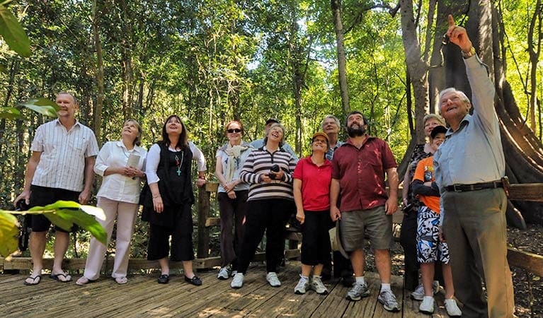
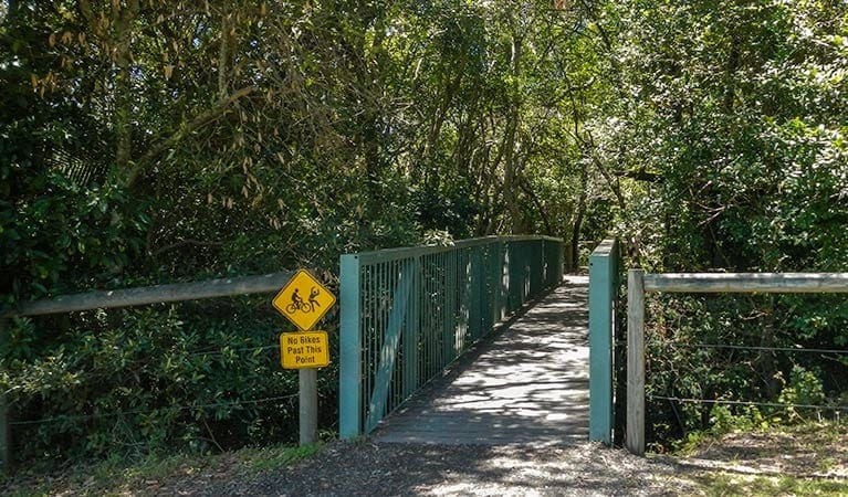
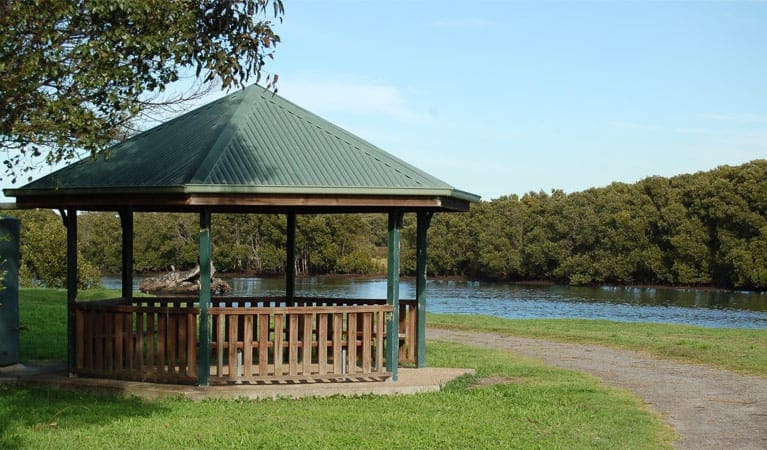
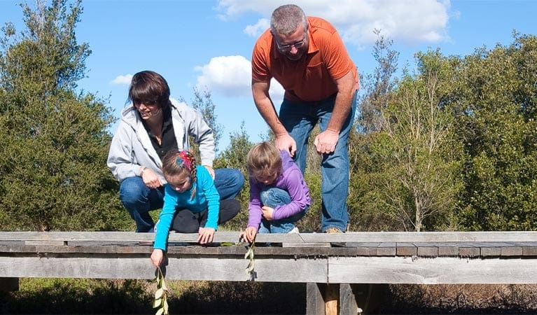
Wallingat National Park, near Forster, features stunning waterways and mountainous forests, and the best way to see them is by following the meandering Double Wharf trail either on foot or by mountain bike. The relatively flat trail heads north along the eastern side of Boggy Creek and Wallingat River, through a water crossing at Sugar Creek, and onto the scenic Reedy Creek trail. Along the way, you'll pass through swampy casuarina forests and tall paperbarks, with dry eucalypt forest on the higher ridges. Bring some binoculars for birdwatching - egrets and cormorants frolic on Wallingat River, while yellow-tail black cockatoos are attracted by the fruiting casuarinas. There's also a chance you'll spot echidnas and wallabies foraging in the undergrowth. This is a great route to explore at any time of year. Bring plenty of water and a packed lunch for a quiet picnic along the way. And, if you're up for a loop walk or mountain bike ride after lunch, you can extend your route to include Whoota Lookout Road and Sugar Creek Road.
Gallery
Got some great shots from this hike? Upload your photos here to inspire others and show off the beauty of the trail!
Click to view form >>
Submitting your photos doesn’t mean you lose ownership. You can be credited for your contributions, and you can request removal at any time.
Content use
Please don’t copy GPX files or content from this site to AllTrails or other platforms. Each trail has been personally mapped, documented, and refined to support Australia’s bushwalking and hiking community. While some details come from land managers, every listing reflects significant personal effort. This is a free, community-driven initiative—your respect helps keep it that way.
Walk map and GPX file
It looks like I don’t have a GPX file for this trail yet. If you have one to share, please email it to me! I’ll verify it against official maps before adding it to help other hikers have a safer, easier experience. Thanks for contributing to a better hiking resource.
Getting there
Getting to the trailhead: Wallingat National Park.
To Double Wharf Road parking. On entering Wallingat National Park:Follow Sugar Creek Road though the park past the turn-off to Whoota Lookout RoadThe gate to Double Wharf Road is just before the bridge over Boggy CreekAlternatively, start from the gate to Reedy Creek trail (off Whoota Lookout Road). Park entry points Double Wharf Road parking See on map Parking Parking is available at the start of Double Wharf Road, or at the gate to Reedy Creek trail (just off Whoota Lookout Road).
Visit NSW National Parks and Wildlife Service for more information on this trail.
The longitude and latitude of the start and end points are approximately only and should not be used for navigation purposes. Please contact me if you know the correct coordinates.
Closest towns to this walk: Forster, Gloucester, Hallidays Point, Nabiac, Old Bar, Pacific Palms, Seal Rocks, Smiths Lake, Taree, Tuncurry, Wingham
Similar walks nearby
Looking for more walks in or near Wallingat National Park? Try these trails with a similar difficulty grade.
Track grade
Grade 2 (Easy) - A Gentle Introduction to Inclines: Grade 2 on the AWTGS represents easy walking tracks that offer a slightly more challenging experience compared to Grade 1. Similar to Grade 1, no prior bushwalking experience is required. The track surface is typically hardened or compacted and may have gentle hill sections or occasional steps. The total distance of a Grade 2 walk is typically no greater than 10 kilometers. These walks are still suitable for families with a bit more experience or those seeking a gentle introduction to some inclines.
Explore safe
Plan ahead and hike safely! Carry enough water, pack layers for changing conditions, and bring safety gear like a torch, PLB, and reliable communication device. Check official sources for trail updates, closures, and access requirements, and review local weather and bushfire advice. Most importantly, share your plans with someone before you go. Being prepared makes for a safer and more enjoyable hike! Stay Safe, Explore More, and Always #ExploreSafe.
Packing checklists
What you carry in your pack depends on factors like weather, terrain, and your adventure type. Not sure what to bring? My free planning, food, and packing checklists are a great starting point, covering day hikes, overnight trips, and multi-day adventures. Use them to customise your kit and always prioritise safety.
Let someone know
Before heading out, take a moment to fill out your trip intentions form. It’s a quick way to share your hike details with family or friends. If something goes wrong, they can notify emergency services, ensuring a faster response and peace of mind. Stay safe and enjoy your adventure
Suggest an edit
Spotted a change on this trail? Maybe there are new features, the route has shifted, or the trail is permanently closed. Whatever the update, I’d love your input. Your feedback helps fellow hikers stay informed and ensures that our trail info stays fresh and reliable.
Acknowledgement of Country
Trail Hiking Australia acknowledges the Traditional Owners of the lands on which we hike and pay respects to their Elders, past and present, and we acknowledge the First Nations people of other communities who may be here today.


