Hike at a Glance
Max elevation: 0m
Min elevation: 0m
Total Ascent: 0m
Hike overview
You'll need a good two hours to properly experience the Cape Byron walking track - but it's so rich in delights, so don't be surprised if you reach the end and feel like doing it all again. In fact, it's one of the best ways to spend a couple of hours on the state's entire coast.
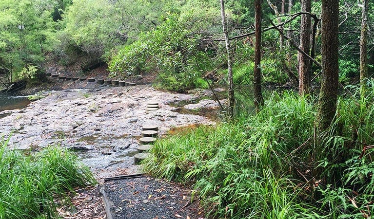
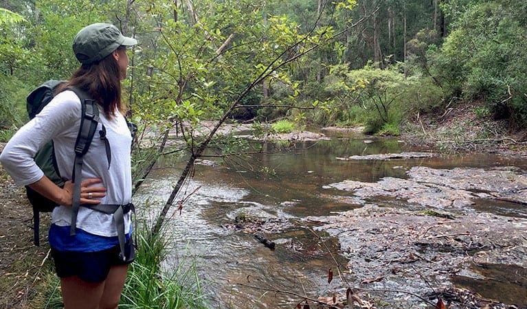
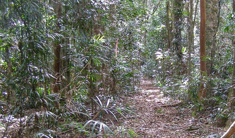
The 3.7km loop leads you on a hike through rainforest and across clifftops with stunning views of the ocean and hinterland.
En route you'll wander through the shade of bangalow palms and ancient burrawangs, across kangaroo grasslands, along picturesque beaches and up to Cape Byron Lighthouse. Remember to keep an eye out on the water for turtles, dolphins, stingrays and, in season, whales.
If you'd prefer an easier walk, the track can be accessed at numerous points and walked in shorter sections.
Take a virtual tour of Cape Byron walking track captured with Google Street View Trekker.
Tips
Stick to the track and stay away from cliff edges
Remember to take your binoculars if you want to whale watch
It can be a busy place on the weekend, so parking might be limited
Visit NSW National Parks and Wildlife Service for more information on this trail.
The longitude and latitude of the start and end points are approximately only and should not be used for navigation purposes. Please contact me if you know the correct coordinates.
Gallery
Got some great shots from this hike? Upload your photos here to inspire others and show off the beauty of the trail!
Click to view form >>
Submitting your photos doesn’t mean you lose ownership. You can be credited for your contributions, and you can request removal at any time.
Content use
Please don’t copy GPX files or content from this site to AllTrails or other platforms. Each trail has been personally mapped, documented, and refined to support Australia’s bushwalking and hiking community. While some details come from land managers, every listing reflects significant personal effort. This is a free, community-driven initiative—your respect helps keep it that way.
Walk map and GPX file
It looks like I don’t have a GPX file for this trail yet. If you have one to share, please email it to me! I’ll verify it against official maps before adding it to help other hikers have a safer, easier experience. Thanks for contributing to a better hiking resource.
Getting there
Getting to the trailhead: Cape Byron State Conservation Area.
To Cape Byron State Conservation Area. The loop walk can be started at numerous points, including Captain Cook lookout, The Pass, Wategos Beach and Cape Byron Lighthouse. To get there follow Lawson Street (which becomes Lighthouse Road) from Byron Bay town centre and look for the signs Park entry points Cape Byron State Conservation Area See on map Palm Valley carpark See on map Parking Parking is available at Captain Cook lookout, The Pass, Wategos Beach and Cape Byron Lighthouse.
Closest towns to this walk: Bangalow, Brunswick Heads, Byron Bay, Le, Lennox Head, Mullumbimby, Suffolk Park Bangalow
About the region
Cape Byron State Conservation Area in the North Coast region
Cape Byron State Conservation Area is open all hours, but may have to close at times due to poor weather or fire danger. Cape Byron Lighthouse precinct is open 8am to sunset. The Maritime Museum in the former Lighthouse Keeper's office at the base of the lighthouse is open 10am to 4pm daily. Opening before 8am for events or disabled access can be arranged by prior notice - contact NPWS Byron Bay office during business hours 02 6620 8300.
9.30am to 4.30pm daily. Closed Christmas Day
Similar walks nearby
Looking for more walks in or near Cape Byron State Conservation Area? Try these trails with a similar difficulty grade.
Track grade
Grade 3 (Moderate) - Walks for Most Fitness Levels: Grade 3 on the AWTGS represents moderate walking tracks. These are ideal for walkers with some fitness who are comfortable with some hills and uneven terrain. While suitable for most ages, some bushwalking experience is recommended to ensure a safe and enjoyable experience. Tracks may have short, steep hill sections, a rough surface, and many steps. The total distance of a Grade 3 walk can be up to 20 kilometers.
Explore safe
Plan ahead and hike safely! Carry enough water, pack layers for changing conditions, and bring safety gear like a torch, PLB, and reliable communication device. Check official sources for trail updates, closures, and access requirements, and review local weather and bushfire advice. Most importantly, share your plans with someone before you go. Being prepared makes for a safer and more enjoyable hike! Stay Safe, Explore More, and Always #ExploreSafe.
Packing checklists
What you carry in your pack depends on factors like weather, terrain, and your adventure type. Not sure what to bring? My free planning, food, and packing checklists are a great starting point, covering day hikes, overnight trips, and multi-day adventures. Use them to customise your kit and always prioritise safety.
Let someone know
Before heading out, take a moment to fill out your trip intentions form. It’s a quick way to share your hike details with family or friends. If something goes wrong, they can notify emergency services, ensuring a faster response and peace of mind. Stay safe and enjoy your adventure
Suggest an edit
Spotted a change on this trail? Maybe there are new features, the route has shifted, or the trail is permanently closed. Whatever the update, I’d love your input. Your feedback helps fellow hikers stay informed and ensures that our trail info stays fresh and reliable.
Acknowledgement of Country
Trail Hiking Australia acknowledges the Traditional Owners of the lands on which we hike and pay respects to their Elders, past and present, and we acknowledge the First Nations people of other communities who may be here today.


