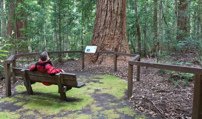
The Bundagaree Rainforest walk takes you on a gentle hike along the coastal fringe of Bongil Bongil National Park.
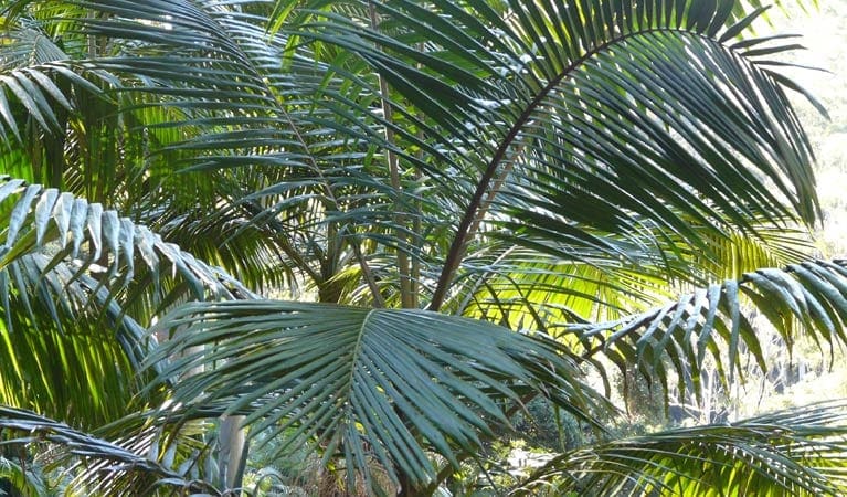
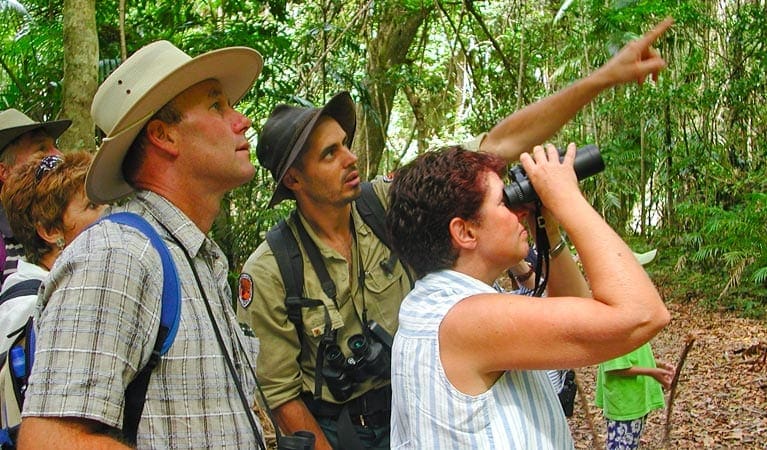
With rainforest on one side of the dunes, including red olive berry, coastal banksias and staghorns, you're sure to see a variety of rainforest birds, including Lewin's honeyeaters and satin bowerbirds. You might be lucky enough to catch a glimpse of a male satin bowerbird's bower; two parallel walls of sticks that are then decorated with blue coloured objects with the aim of attracting a mate.
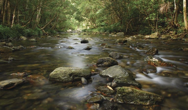
The track leaves the rainforest at the rocky shoreline of Bundagaree creek, great for exploring the rockpools or enjoying the view.
The track is well marked, and you can choose to walk both ways through the rainforest or return along the beach. If you choose the beach walk, look out for the white-bellied eagle soaring and swooping in the sky.
The Bundagaree Rainforest walk is a great choice for a day walk, and if you have time you can stop off at the Bluff loop picnic area for a picnic along the way.
Got some great shots from this hike? Upload your photos here to inspire others and show off the beauty of the trail!
Submitting your photos doesn’t mean you lose ownership. You can be credited for your contributions, and you can request removal at any time.
Please don’t copy GPX files or content from this site to AllTrails or other platforms. Each trail has been personally mapped, documented, and refined to support Australia’s bushwalking and hiking community. While some details come from land managers, every listing reflects significant personal effort. This is a free, community-driven initiative—your respect helps keep it that way.
It looks like I don’t have a GPX file for this trail yet. If you have one to share, please email it to me! I’ll verify it against official maps before adding it to help other hikers have a safer, easier experience. Thanks for contributing to a better hiking resource.
Getting there
Getting to the trailhead: Bongil Bongil National Park.
To Bundagaree access. On entering Bongil Bongil National Park continue travelling along Tuckers Rocks Road until you reach Tuckers Rocks carpark. Park entry points Bundagaree access See on map Road quality Check the weather before you set out as roads in Bongil Bongil National Park can be subject to flooding after heavy rain Parking Parking is available at Tuckers Rocks carpark.
Visit NSW National Parks and Wildlife Service for more information on this trail.
The longitude and latitude of the start and end points are approximately only and should not be used for navigation purposes. Please contact me if you know the correct coordinates.
Closest towns to this walk: Bellingen, Bongil Bongil, Coffs Harbour, Coramba, Sawtell, Thora, Urunga, Woolgoolga
About the region
Bongil Bongil National Park in the North Coast region
Bongil Bongil National Park is open sunrise to sunset but may have to close at times due to poor weather or fire danger.
Similar walks nearby
Looking for more walks in or near Bongil Bongil National Park? Try these trails with a similar difficulty grade.
Favourite

Favourite

Favourite

Favourite

Nymboi-Binderay National Park
Track grade
Grade 3 (Moderate) - Walks for Most Fitness Levels: Grade 3 on the
AWTGS represents moderate walking tracks. These are ideal for walkers with some fitness who are comfortable with some hills and uneven terrain. While suitable for most ages, some bushwalking experience is recommended to ensure a safe and enjoyable experience. Tracks may have short, steep hill sections, a rough surface, and many steps. The total distance of a Grade 3 walk can be up to 20 kilometers.
Explore safe
Plan ahead and hike safely! Carry enough water, pack layers for changing conditions, and bring safety gear like a torch, PLB, and reliable communication device. Check official sources for trail updates, closures, and access requirements, and review local weather and bushfire advice. Most importantly, share your plans with someone before you go. Being prepared makes for a safer and more enjoyable hike! Stay Safe, Explore More, and Always #ExploreSafe.
Packing checklists
What you carry in your pack depends on factors like weather, terrain, and your adventure type. Not sure what to bring? My free planning, food, and packing checklists are a great starting point, covering day hikes, overnight trips, and multi-day adventures. Use them to customise your kit and always prioritise safety.
Let someone know
Before heading out, take a moment to fill out your trip intentions form. It’s a quick way to share your hike details with family or friends. If something goes wrong, they can notify emergency services, ensuring a faster response and peace of mind. Stay safe and enjoy your adventure
Suggest an edit
Spotted a change on this trail? Maybe there are new features, the route has shifted, or the trail is permanently closed. Whatever the update, I’d love your input. Your feedback helps fellow hikers stay informed and ensures that our trail info stays fresh and reliable.


