Hike at a Glance
Max elevation: 0m
Min elevation: 0m
Total Ascent: 0m
Hike overview
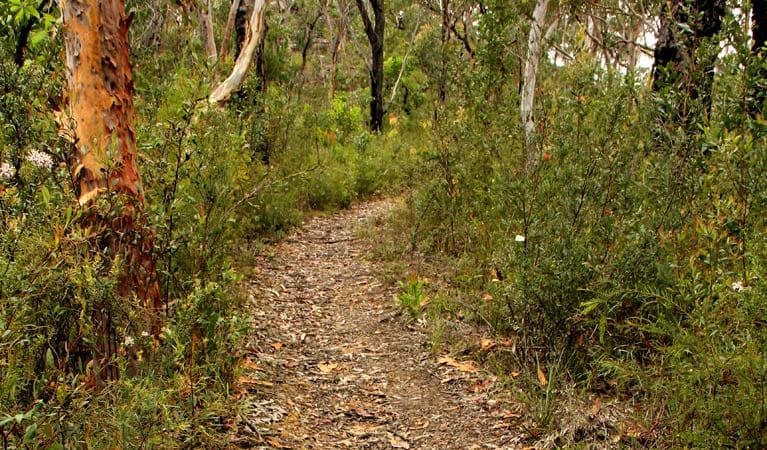
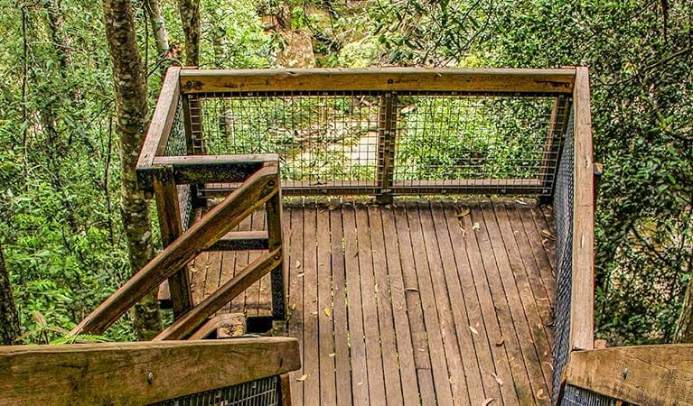
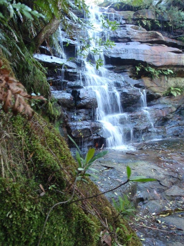
Aptly named 248 trail because it's 248m above sea level, this is a fantastic trail for mountain biking, horse riding and walking. The ride is relatively short so it's a great one for kids. If you need a break along the way, there are areas to rest and admire Ironbark Creek and the surrounding forests.
Starting with dry open woodland, it soon transforms into a forest of ironbarks and imposing blue gums. Keep your eyes open for wildlife among the trees - you are bound to catch a glimpse of some of park's many glossy black cockatoos, or even a honeyeater.
Tips
If you're mountain biking and you need to cross over a walking track (like Hominy Creek walking track to Emerald Pool), please dismount and carry your bicycle or leave it and continue on foot.
248 track starts at Ironbark picnic area at the end of Ironbark Road. This area has a small dirt carpark and it's not recommended for low-clearance 2WD vehicles.
You'll need to bring drinking water as Ironbark picnic area only has tank water for washing hands.
Visit NSW National Parks and Wildlife Service for more information on this trail.
The longitude and latitude of the start and end points are approximately only and should not be used for navigation purposes. Please contact me if you know the correct coordinates.
Gallery
Got some great shots from this hike? Upload your photos here to inspire others and show off the beauty of the trail!
Uploading your photos doesn’t mean you lose ownership. You can be credited for your contributions, and you can request removal at any time.
Content use
Please don’t copy GPX files or content from this site to AllTrails or other platforms. Each trail has been personally mapped, documented, and refined to support Australia’s bushwalking and hiking community. While some details come from land managers, every listing reflects significant personal effort. This is a free, community-driven initiative—your respect helps keep it that way.
Walk map and GPX file
It looks like I don’t have a GPX file for this trail yet. If you have one to share, please email it to me! I’ll verify it against official maps before adding it to help other hikers have a safer, easier experience. Thanks for contributing to a better hiking resource.
Getting there
Getting to the trailhead: Popran National Park.
To get there, from Sydney:Take the F3 Sydney-Newcastle Freeway and exit at Calga onto Peats Ridge RoadAfter 13km, turn left onto Wisemans Ferry Road.Continue a further 8km, and turn left onto Ironbark Road.The trail starts 300m from the picnic area off Mount Olive trailFrom Newcastle:Take the F3 Sydney-Newcastle Freeway and exit at Peats Ridge RoadAfter 10km, turn right onto George Downs Drive.Turn left onto Wisemans Ferry Road, continue a further 8km, and then turn left onto Ironbark Road.The trail starts 300m from the picnic area off Mount Olive trail Parking Parking is available at the Ironbark picnic area.
Closest towns to this walk: East Gosford, Glenworth Valley, Gosford, Kariong, North Gosford, Pearce's Creek, Pearl Beach, Phegans Bay, Somersby, Umina Beach, Woy Woy
About the region
Popran National Park on the NSW central coast protects Aboriginal sites and offers great walking, kayaking, mountain biking, horse riding and fishing.
Take a step back in time and visit the incredible Popran National Park. From hiking to mountain biking, and horse riding to fishing, there's plenty to do in this iconic Australian setting.
Boasting 4km of Hawkesbury river foreshore, you can paddle through the mangroves, enjoy a spot of fishing and smell the coastal banksia. The park is steeped in Aboriginal heritage so you can't help but get in touch with the history of the land.
Popran National Park, on the Central Coast, is just an hour and a half north of Sydney, so it makes for an excellent daytrip or weekend getaway.
Similar walks nearby
Looking for more walks in or near Popran National Park? Try these trails with a similar difficulty grade.
Track grade
Grade 3 (Moderate) - Walks for Most Fitness Levels: Grade 3 on the AWTGS represents moderate walking tracks. These are ideal for walkers with some fitness who are comfortable with some hills and uneven terrain. While suitable for most ages, some bushwalking experience is recommended to ensure a safe and enjoyable experience. Tracks may have short, steep hill sections, a rough surface, and many steps. The total distance of a Grade 3 walk can be up to 20 kilometers.
Explore safe
Plan ahead and hike safely! Carry enough water, pack layers for changing conditions, and bring safety gear like a torch, PLB, and reliable communication device. Check official sources for trail updates, closures, and access requirements, and review local weather and bushfire advice. Most importantly, share your plans with someone before you go. Being prepared makes for a safer and more enjoyable hike! Stay Safe, Explore More, and Always #ExploreSafe.
Packing checklists
What you carry in your pack depends on factors like weather, terrain, and your adventure type. Not sure what to bring? My free planning, food, and packing checklists are a great starting point, covering day hikes, overnight trips, and multi-day adventures. Use them to customise your kit and always prioritise safety.
Let someone know
Before heading out, take a moment to fill out your trip intentions form. It’s a quick way to share your hike details with family or friends. If something goes wrong, they can notify emergency services, ensuring a faster response and peace of mind. Stay safe and enjoy your adventure
Suggest an edit
Spotted a change on this trail? Maybe there are new features, the route has shifted, or the trail is permanently closed. Whatever the update, I’d love your input. Your feedback helps fellow hikers stay informed and ensures that our trail info stays fresh and reliable.
Acknowledgement of Country
Trail Hiking Australia acknowledges the Traditional Owners of the lands on which we hike and pay respects to their Elders, past and present, and we acknowledge the First Nations people of other communities who may be here today.


