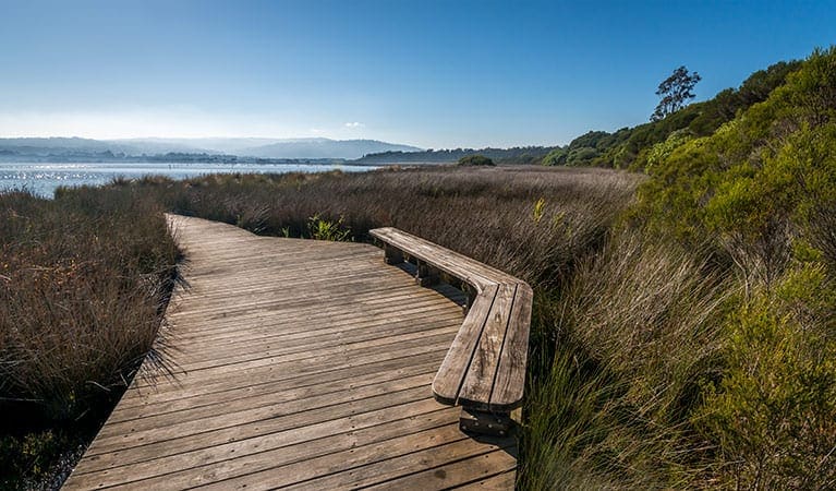
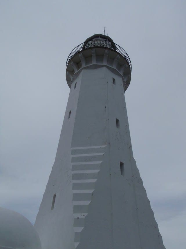
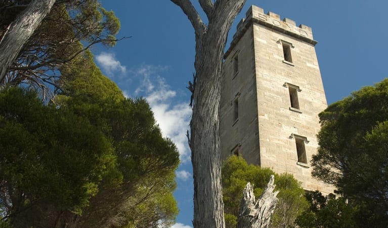
A relaxing hike which winds along the coast with beaches to visit along the way which leads to Point Hicks Lightstation. Look out to a view of the Point Hicks Marine National Park and enjoy the sea breeze! Experience pristine natural beauty and immerse yourself in history as you walk to the Lightstation. The walk commences at the Lightstation Reserve gate. Once at the Lightstation Car Park, a track to the left of the grassy area leads down to the monument and then up to the light tower. Access inside the Lightstation's stone walls is limited to visitors
staying in the keepers' accommodation.
- Mobile phones do not work in this area.
- Marginal reception available at Point Hicks Lighthouse or at Cann River.
- Lighthouse tours are available. Might be nice to take some lunch to have there.
Contributed by Eisak Tabensky
Got some great shots from this hike? Upload your photos here to inspire others and show off the beauty of the trail!
Submitting your photos doesn’t mean you lose ownership. You can be credited for your contributions, and you can request removal at any time.
Please don’t copy GPX files or content from this site to AllTrails or other platforms. Each trail has been personally mapped, documented, and refined to support Australia’s bushwalking and hiking community. While some details come from land managers, every listing reflects significant personal effort. This is a free, community-driven initiative—your respect helps keep it that way.
Total distance: 4047 m
Max elevation: 56 m
Min elevation: 10 m
Total climbing: 134 m
Total descent: -134 m
Getting there
Getting to the trailhead: Croajingolong National Park.
Start on the M1 and drive to Newborough. Take the exit towards Moe/Newborough/Yallourn Nth/ onto C103 from the M1. Follow C103 and Cairnbrook Rd and turn onto the Princes Hwy/A1 in Rosedale. Then follow the Princes Hwy until Cann River, where you turn onto Tamboon Road. Then, turn onto Point Hicks Road and follow it to the Point Hicks Carpark; which is located after all of the campsites.
Closest towns to this walk: Bemm River, Cann River, Eden, Genoa, Mallacoota, Marlo, Orbost, Tamboon
About the region
The Croajingolong National Park is a coastal national park in the East Gippsland region of the Australian state of Victoria. The 88,355-hectare national park is situated approximately 450 kilometres east of Melbourne and 500 kilometres south of Sydney.
Similar walks nearby
Looking for more walks in or near Croajingolong National Park? Try these trails with a similar difficulty grade.
Favourite

Favourite

Beowa (Ben Boyd) National Park
Favourite

Beowa (Ben Boyd) National Park
Favourite

Beowa (Ben Boyd) National Park
Track grade
Grade 2 (Easy) - A Gentle Introduction to Inclines: Grade 2 on the
AWTGS represents easy walking tracks that offer a slightly more challenging experience compared to Grade 1. Similar to Grade 1, no prior bushwalking experience is required. The track surface is typically hardened or compacted and may have gentle hill sections or occasional steps. The total distance of a Grade 2 walk is typically no greater than 10 kilometers. These walks are still suitable for families with a bit more experience or those seeking a gentle introduction to some inclines.
Explore safe
Plan ahead and hike safely! Carry enough water, pack layers for changing conditions, and bring safety gear like a torch, PLB, and reliable communication device. Check official sources for trail updates, closures, and access requirements, and review local weather and bushfire advice. Most importantly, share your plans with someone before you go. Being prepared makes for a safer and more enjoyable hike! Stay Safe, Explore More, and Always #ExploreSafe.
Packing checklists
What you carry in your pack depends on factors like weather, terrain, and your adventure type. Not sure what to bring? My free planning, food, and packing checklists are a great starting point, covering day hikes, overnight trips, and multi-day adventures. Use them to customise your kit and always prioritise safety.
Let someone know
Before heading out, take a moment to fill out your trip intentions form. It’s a quick way to share your hike details with family or friends. If something goes wrong, they can notify emergency services, ensuring a faster response and peace of mind. Stay safe and enjoy your adventure
Suggest an edit
Spotted a change on this trail? Maybe there are new features, the route has shifted, or the trail is permanently closed. Whatever the update, I’d love your input. Your feedback helps fellow hikers stay informed and ensures that our trail info stays fresh and reliable.


