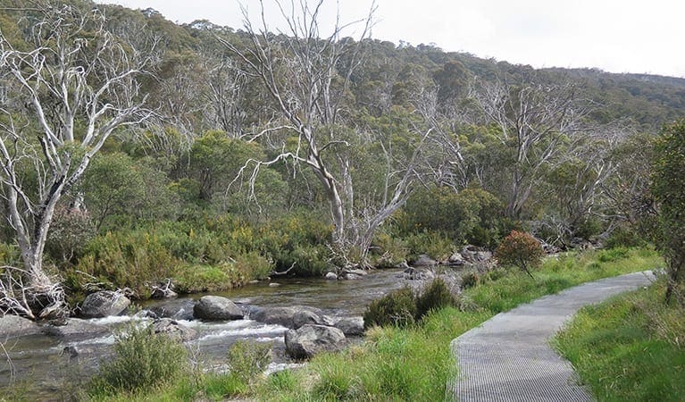
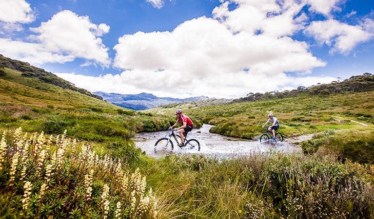
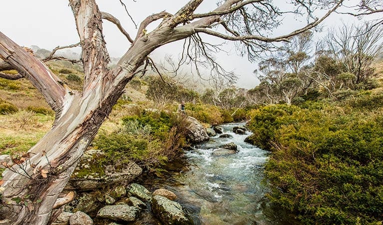
The Mount Stradbroke track commences at the Limestone Black Mountain Road on Second Emu Flat and follows a disused and overgrown 4WD fire trail for part of the walk. Currently Mount Stradbroke Walking Track is signposted at the start (ignore the signposted distance as it is not correct), the route is marked sporadically and open for adventurous walkers. Beginning on an old fire access track, it becomes a mere trail winding through snowgum woodland towards the rocky summit. Emerging onto the summit of Mount Stradbroke, you are greeted by views across the mountains and down into the Suggan Buggan Valley.
Mount Stradbroke is a mountain in Victoria and is nearby to Rocky Range State Faunal Reserve and Suggan Buggan. In the heart of the Australian Alps, this is one of Victoria's largest and most remote areas of national park. The rugged landscape features the magnificent Snowy River and Suggan Buggan Valleys, the headwaters of the Murray River and spectacular peaks including the Cobberas (No.1 1838 m) and Mount Tingaringy (1448 m).
Camping
A good campign spot can be found nearby at Native Dog Flat. The camp includes a Parks Victoria Toilet, water from the Buchan River and plenty of open space to camp. It is a great spot to base yourself for a few days to enjoy both Mount Stradbroke and Mount Cobberas.
Please don’t copy GPX files or content from this site to AllTrails or other platforms. Each trail has been personally mapped, documented, and refined to support Australia’s bushwalking and hiking community. While some details come from land managers, every listing reflects significant personal effort. This is a free, community-driven initiative—your respect helps keep it that way.
Total distance: 10938 m
Max elevation: 1334 m
Min elevation: 1214 m
Total climbing: 384 m
Total descent: -384 m
Getting there
Getting to the trailhead: Alpine National Park.
From Melbourne follow the M1 to Newborough. Take the exit towards Moe/Newborough/Yallourn Nth/C103 from M1 (135 km). Follow C103 and Cairnbrook Rd to Princes Hwy/A1 in Rosedale (50.3 km). Continue on Princes Hwy/A1 to Lucknow (94.5 km). Take C608 to Limestone Rd in Brumby and park on the tigh bedn of Limestone Black Mountain Road on Second Emu Flat. Note that this road is generally closed during windter due to heavy snow fall.
Closest towns to this walk: Benalla, Bright, Dinner Plain, Falls Creek, Harrietville, Hotham Heights, Mansfield, Mitta Mitta, Mount Beauty, Mount Hotham, Myrtleford, Omeo, Porepunkah, Tawonga South, Wangaratta
About the region
The Alpine National Park is a national park in the Central Highlands and Alpine regions of Victoria, Australia. The 646,000-hectare national park is located northeast of Melbourne. It is the largest National Park in Victoria, and covers much of the higher areas of the Great Dividing Range in Victoria, including Victoria's highest point, Mount Bogong at 1,986 metres and the associated subalpine woodland and grassland of the Bogong High Plains. The park's north-eastern boundary is along the border with New South Wales, where it abuts the Kosciuszko National Park.
Similar walks nearby
Looking for more walks in or near Alpine National Park? Try these trails with a similar difficulty grade.
Favourite

Snowy River National Park
Favourite

Favourite

Favourite

Track grade
Grade 4 (Hard) -
Challenging Walks for Experienced Walkers: Grade 4 on the
AWTGS signifies challenging walking tracks. Bushwalking experience is recommended for these tracks, which may be long, rough, and very steep. Directional signage may be limited, requiring a good sense of navigation. These walks are suited for experienced walkers who are comfortable with steeper inclines, rougher terrain, and potentially longer distances.
Explore safe
Plan ahead and hike safely! Carry enough water, pack layers for changing conditions, and bring safety gear like a torch, PLB, and reliable communication device. Check official sources for trail updates, closures, and access requirements, and review local weather and bushfire advice. Most importantly, share your plans with someone before you go. Being prepared makes for a safer and more enjoyable hike! Stay Safe, Explore More, and Always #ExploreSafe.
Packing checklists
What you carry in your pack depends on factors like weather, terrain, and your adventure type. Not sure what to bring? My free planning, food, and packing checklists are a great starting point, covering day hikes, overnight trips, and multi-day adventures. Use them to customise your kit and always prioritise safety.
Let someone know
Before heading out, take a moment to fill out your trip intentions form. It’s a quick way to share your hike details with family or friends. If something goes wrong, they can notify emergency services, ensuring a faster response and peace of mind. Stay safe and enjoy your adventure
Suggest an edit
Spotted a change on this trail? Maybe there are new features, the route has shifted, or the trail is permanently closed. Whatever the update, I’d love your input. Your feedback helps fellow hikers stay informed and ensures that our trail info stays fresh and reliable.
/Mount-Stradbroke-Track_1.jpg)


