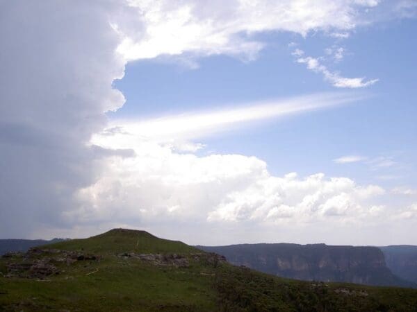
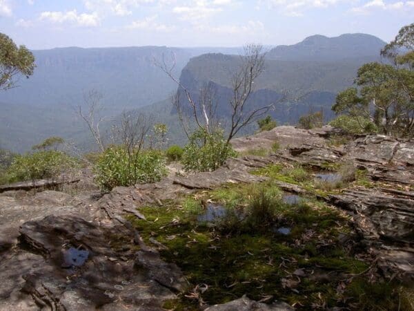
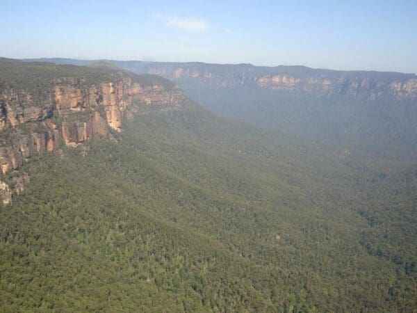
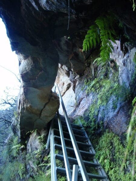
This walk starts in the low heath and cliff views of Lockleys Pylon. The pylon and other notable features can be seen along the track while the descent down to the Blue Gum Forest provides plenty of photographic opportunities. After camping overnight at Acacia Flats the walk heads out via Govetts Leap and Pope's Glen visiting many little cascades and the awesome Bridal Falls. A great overnight walk.
Take in the serenity of Blue Mountains National Park on Lockleys Pylon walking track. Named after J.G. Lockley, a journalist who supported conservation efforts to save the Blue Gum Forest from logging in the 1930s.
With some of the best views in Blue Mountains, this walk traverses through the heath to a small peak overlooking eucalypt forests of the Grose Valley. Climb up to Lockleys Pylon and take in the Golden sandstone cliffs of Mount Hay and Mount Banks.
Download maps and tracknotes for Lockey Pylon to Blackheath Station hiking track from wildwalks.com.
Grade 4 (Hard) -
Challenging Walks for Experienced Walkers: Grade 4 on the
AWTGS signifies challenging walking tracks. Bushwalking experience is recommended for these tracks, which may be long, rough, and very steep. Directional signage may be limited, requiring a good sense of navigation. These walks are suited for experienced walkers who are comfortable with steeper inclines, rougher terrain, and potentially longer distances.
Total distance: 19112 m
Max elevation: 1068 m
Min elevation: 511 m
Total climbing: 1801 m
Total descent: -1610 m
Content use
Please don’t copy GPX files or content from this site to AllTrails or other platforms. Each trail has been personally mapped, documented, and refined to support Australia’s bushwalking and hiking community. While some details come from land managers, every listing reflects significant personal effort. This is a free, community-driven initiative—your respect helps keep it that way.
Gallery
Got any photos from this hike? Your photos can help others plan. Share shots from along the trail so fellow hikers know what to expect.
Click to add your photos >>
Getting there
Getting to the trailhead: Blue Mountains National Park.
The Lockleys Pylon to Blackheath Station walk starts at the Lockley car park
Need a rental car to get you to the hike? Find one here.
Find a place to stay
Wondering where to stay near this hike? Find accommodation close to the trailhead — hotels, cabins and campgrounds nearby. Click the button to view the interactive map.
Closest towns to this walk: Blackheath, Bullaburra, Hazelbrook, Katoomba, Lawson, Leura, Lithgow, Mount Victoria, Springwood, Wentworth Falls, Woodford
Let someone know
Heading out? Fill in a trip intentions form so someone knows your plans. If things go wrong, they can raise the alarm fast, giving you peace of mind on the trail.
About the region
Blue Mountains National Park
Explore World Heritage-listed Blue Mountains National Park, home of the famous Three Sisters in Katoomba. Discover iconic lookouts and waterfalls, historic walking tracks, mountain biking, Aboriginal culture, adventure sports, and camping - right on Sydney's doorstep.
Blackheath
Blackheath area spoils you with amazing walks, mountain biking and cliff top views in Blue Mountains National Park. Visit Govetts Leap, conquer the Grand Canyon and explore the Grose Wilderness. Blackheath's natural beauty and activities attract adventurers, families, overseas visitors and Sydneysiders. Govetts Leap and Evans lookout are top of the to do list, boasting some of the best-known views in the park. Gaze across the Grose Valley with its red sandstone cliffs and deep gorges. At 180m Govetts Leap (Bridal Veil) Falls is the tallest single drop waterfall in the Blue Mountains.
Similar walks nearby
Looking for more walks in or near Blue Mountains National Park? Try these trails with a similar difficulty grade.
Favourite

Blue Mountains National Park
Favourite

Blue Mountains National Park
Favourite

Blue Mountains National Park
Favourite

Blue Mountains National Park
Explore safe
Plan ahead and hike safely! Carry enough water, pack layers for changing conditions, and bring safety gear like a torch, PLB, and reliable communication device. Check official sources for trail updates, closures, and access requirements, and review local weather and bushfire advice. Most importantly, share your plans with someone before you go. Being prepared makes for a safer and more enjoyable hike! Stay Safe, Explore More, and Always #ExploreSafe.
Packing checklists
What you carry in your pack depends on factors like weather, terrain, and your adventure type. Not sure what to bring? My free planning, food, and packing checklists are a great starting point, covering day hikes, overnight trips, and multi-day adventures. Use them to customise your kit and always prioritise safety.
Suggest an edit
Notice something different about this trail? Whether it’s a new feature, a route change, or a closure, share your update so we can keep our info accurate and helpful for fellow hikers.
Click to suggest edits >>


