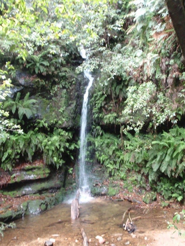
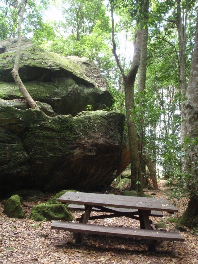
From the Leura Cascades Picnic Area, go through the stone arch and descend the stairs alongside the Leura Falls Creek. Cross Prince Henry Cliff Walk at the foot bridge, then turn right downstream. There are several vantage points to view the cascades before reaching the lookout, with its views over the magnificent Jamison Valley at the top of the Bridal Veil Falls. Ascend the steps along the western cliff line on the Round Track, turning left after about 100m onto the Amphitheatre Track. The track descends steeply here into the rainforest. Listen for the call of the catbird or wompa pigeon and remember to take your binoculars if you want to birdwatch. Follow the track downstream for 100m, then ascend some steep stairs before traversing the half-way ledge to a natural amphitheatre. The track follows this ledge, intersecting with Fern Bower track, where walkers can ascend the steps back to Prince Henry Cliff Walk. From here, turn right and follow the walk back to the bridge you first crossed. The last section has many side trails to lookouts, majestic rock formations and overhangs. From the bridge, visitors can retrace their original route back to the picnic area.
Got some great shots from this hike? Upload your photos here to inspire others and show off the beauty of the trail!
Submitting your photos doesn’t mean you lose ownership. You can be credited for your contributions, and you can request removal at any time.
Please don’t copy GPX files or content from this site to AllTrails or other platforms. Each trail has been personally mapped, documented, and refined to support Australia’s bushwalking and hiking community. While some details come from land managers, every listing reflects significant personal effort. This is a free, community-driven initiative—your respect helps keep it that way.
It looks like I don’t have a GPX file for this trail yet. If you have one to share, please email it to me! I’ll verify it against official maps before adding it to help other hikers have a safer, easier experience. Thanks for contributing to a better hiking resource.
Getting there
Getting to the trailhead: Blue Mountains National Park.
Leura Cascades Fern Bower circuit starts at Leura Cascades picnic area in Blue Mountains National Park. To get there, turn off Great Western Highway at Leura along Cliff Drive and follow the signs to Leura Cascades picnic area. Parking Parking is available along Cliff Drive near Leura Cascades picnic area. It can be a busy place on the weekend, so parking might be limited then.
Visit NSW National Parks and Wildlife Service for more information on this trail.
The longitude and latitude of the start and end points are approximately only and should not be used for navigation purposes. Please contact me if you know the correct coordinates.
Closest towns to this walk: Blackheath, Bullaburra, Hazelbrook, Katoomba, Lawson, Leura, Lithgow, Mount Victoria, Springwood, Wentworth Falls, Woodford
About the region
Blue Mountains National Park in the Sydney and surrounds and Country NSW regions
Blue Mountains National Park is always open but may have to close at times due to poor weather or fire danger. Some parts of the park close overnight; details are provided for specific attractions.
9am to 4.30pm daily. Closed Christmas Day.
Similar walks nearby
Looking for more walks in or near Blue Mountains National Park? Try these trails with a similar difficulty grade.
Favourite

Blue Mountains National Park
Favourite

Blue Mountains National Park
Favourite

Blue Mountains National Park
Favourite

Blue Mountains National Park
Track grade
Grade 4 (Hard) -
Challenging Walks for Experienced Walkers: Grade 4 on the
AWTGS signifies challenging walking tracks. Bushwalking experience is recommended for these tracks, which may be long, rough, and very steep. Directional signage may be limited, requiring a good sense of navigation. These walks are suited for experienced walkers who are comfortable with steeper inclines, rougher terrain, and potentially longer distances.
Explore safe
Plan ahead and hike safely! Carry enough water, pack layers for changing conditions, and bring safety gear like a torch, PLB, and reliable communication device. Check official sources for trail updates, closures, and access requirements, and review local weather and bushfire advice. Most importantly, share your plans with someone before you go. Being prepared makes for a safer and more enjoyable hike! Stay Safe, Explore More, and Always #ExploreSafe.
Packing checklists
What you carry in your pack depends on factors like weather, terrain, and your adventure type. Not sure what to bring? My free planning, food, and packing checklists are a great starting point, covering day hikes, overnight trips, and multi-day adventures. Use them to customise your kit and always prioritise safety.
Let someone know
Before heading out, take a moment to fill out your trip intentions form. It’s a quick way to share your hike details with family or friends. If something goes wrong, they can notify emergency services, ensuring a faster response and peace of mind. Stay safe and enjoy your adventure
Suggest an edit
Spotted a change on this trail? Maybe there are new features, the route has shifted, or the trail is permanently closed. Whatever the update, I’d love your input. Your feedback helps fellow hikers stay informed and ensures that our trail info stays fresh and reliable.


