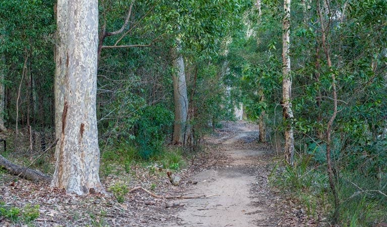
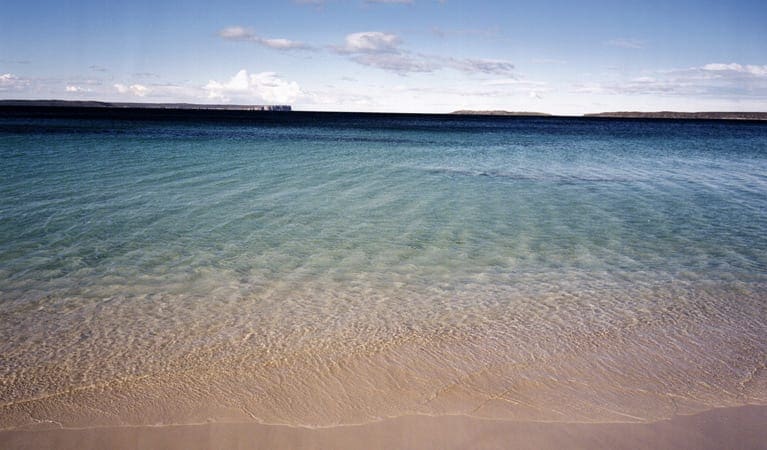
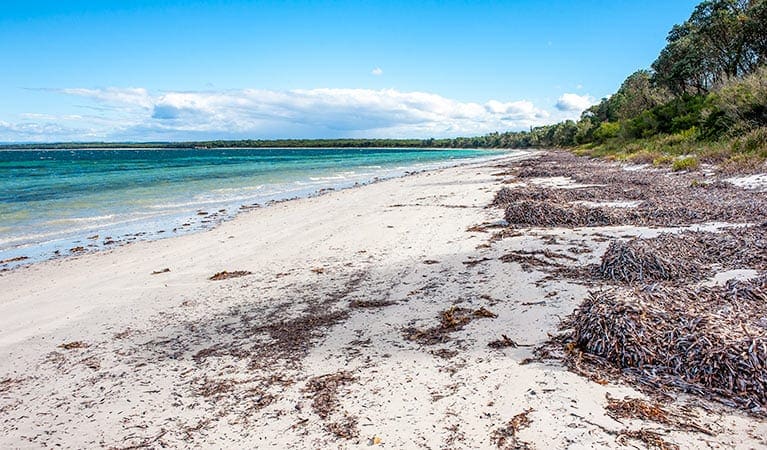
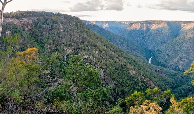
Pretty Beach to Snake Bay walking track is a 10.4km, grade 5 hike located in Murramarang National Park, New South Wales. The hike should take around 4 hours to complete.
Hike overview
If you're well-prepared, Pretty Beach to Snake Bay walking track is an adventurous hike that traces the rocky coastline and beaches of northern Murramarang National Park.
Heading south from Pretty Beach, the unmarked route scrambles over slippery rock shelves that are normally underwater, and along remote pebble beaches. Make sure to check tides, swells and weather conditions before you set out as the journey requires extreme caution and is inaccessible from mid to high tide. It should not be attempted during poor weather or big ocean swells.
At Snake Bay, cool off with a swim in the clear ocean before tucking into a beachside picnic, to time your return with the next low tide. If you're feeling energetic, you can connect with the well-signposted Pebbly Beach to Snake Bay walking track.
A popular option is to loop back to Pretty Beach via Durras Mountain. Continue south of Snake Bay, then around 75m from Clear Point you'll meet the junction with the Mount Durras track. This track combines the steep but rewarding Pebbly Beach to Durras Mountain and Pretty Beach to Durras Mountain tracks. Allow 4-5 hours if you're planning to walk the full 12km loop in either direction. Take a virtual tour of Pretty Beach to Pebbly Beach walking track captured with Google Street View Trekker.
Route and GPX file
Help fellow hikers navigate with confidence. Share your GPX or KML file for this trail and help build a more comprehensive resource with precise waypoints and elevation profiles. Your contribution will empower adventurers with details they need for a safer and more enjoyable experience. I meticulously verify every file using official maps and surveys, ensuring the highest level of accuracy and reliability. Submit your file now and become a trailblazer for your fellow outdoor enthusiasts.
Tips
Pretty Beach to Snake Bay walking track requires extreme caution. It can only be walked at low tide and in calm weather. Please read our safety information before planning your trip.
Check the tide, swell or wave size, and weather conditions before you set out. Surf conditions can change quickly, stay alert at all times.
The track can be indistinct or unmarked, and is hard to follow, slippery and dangerous in places.
This is part of a marine park - please check restrictions.
Visit NSW National Parks and Wildlife Service for more information on this trail.
The longitude and latitude of the start and end points are approximately only and should not be used for navigation purposes. Please contact me if you know the correct coordinates.
Trail location
Sorry, no records were found. Please adjust your search criteria and try again.
Sorry, unable to load the Maps API.
Getting there
To Pebbly Beach carpark. Pretty Beach to Snake Bay walking track is in the northern precinct of Murramarang National Park. To get there:Enter the park off the Princes Highway at TermeilTake the Bawley Point/Kioloa turn offDrive past Kioloa and follow the signs to Pretty Beach Park entry points Pebbly Beach carpark See on map Pretty Beach carpark See on map Pretty Beach carpark See on map Parking Parking is available at Pretty Beach picnic area.
Gallery
If you have any photos from this hike and are happy to share them, please upload your .jpg files here.
Please note: Uploading photos does not transfer ownership of copyright away from you. If requested, you will be credited for any photos you provide and can ask they be deleted at any time.
About the region
Spanning 44km of dramatic coastline, Murramarang National Park is the ultimate spot to soak up some sun and explore the cliffs, headlands and pristine beaches of the NSW south coast. Be sure to pack your swimmers to hit the surf, binoculars for spotting peregrine falcons and sea eagles soaring high above the cliffs, and your fishing rod to catch dinner.
This is one of the rare spots in Australia where the spotted gums grow right down to the ocean, offering plenty of shade in the warmer months and a stunning backdrop for a nature escape all year round. When you're ready to take a break from the stunning beaches you can opt to canoe or walk around Durras lake instead. The Durras lake discovery trail is perfect for kids.
Similar trails nearby
Explore Safe
While planning your hike, it’s important to check official government sources for updated information, temporary closures and trail access requirements. Before hitting the trail, check local weather and bushfire advice for planned burns and bushfire warnings and let someone know before you go. Plan ahead and hike safely.
Let someone know
Adventure with peace of mind: Fill out your trip intentions form. Before you hit the trail, fill out an online form to privately send important details about your hike to your family or friends. If you don’t return on time, they can easily alert emergency services, preventing worry and ensuring a swift response. Hike with peace of mind and enjoy your outdoor adventure to the fullest. Be smart, be safe: Register your plans here.
Gear to consider

My free planning, food and packing checklists provide an introduction to things your could consider (as well as the Ten Essentials) on your day, overnight and multi-day adventures. Customise your kit according to your personal needs, always considering safety first.
Suggest an edit
Does this hikes information need updating? Sometimes the route, trail features or access conditions change.
Acknowledgement of Country
Trail Hiking Australia acknowledges the Traditional Owners of the lands on which we hike and pay respects to their Elders, past and present, and we acknowledge the First Nations people of other communities who may be here today.


