Hike at a Glance
Max elevation: 0m
Min elevation: 0m
Total Ascent: 0m
Hike overview
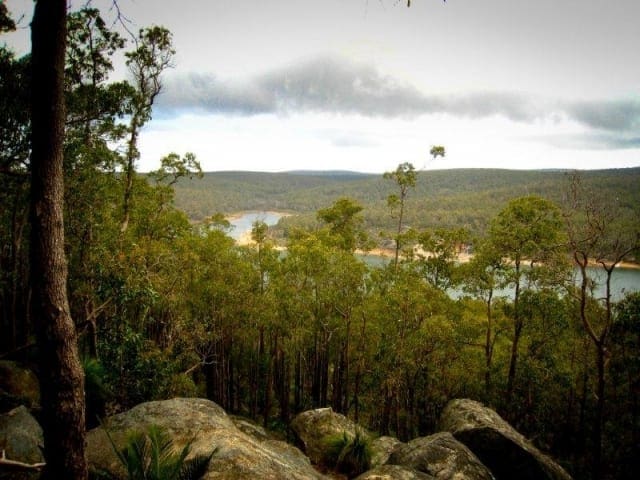
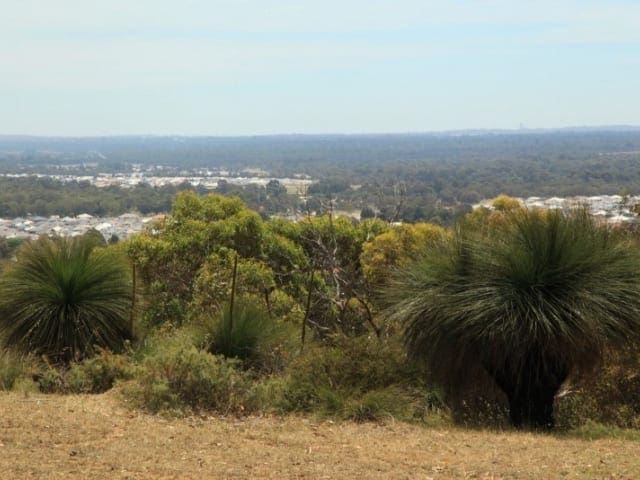
The Mount Dale Walk Trail follows the contours of Mount Dale to its peak, where walkers enjoy panoramic views of the Darling Ranges. Venture through beautiful jarrah forest taking in the sights of Mount Cooke to the south and the farmlands to the east.
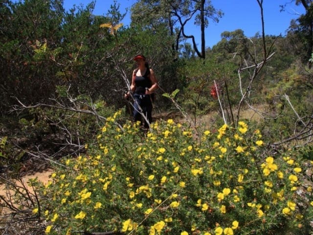
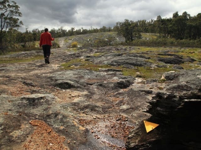
Mount Dale was once the site of a fire lookout tower as it provides almost uninterrupted 360° views over the National Park and surrounding State Forest areas. The lower recreation site at Mount Dale provides a pleasant spot for family picnics. The area is prolific with wildflowers in spring and has beautiful wildlife such as eagles, kangaroos and reptiles to name a few. An animal viewing hide has been constructed on the north side of Mount Dale and provides spectacular views over the Helena National Park and the Darkin River Valley. Initially the trail is easy to follow through the bush but requires some navigation before ending up at the lookout. From here on descent, the trail joins up with the Bibbulmun Track, returning to the Mount Dale Picnic Area. The Bibbulmun Track, which runs from Kalamunda to Albany, travels close-by to Mount Dale and the lower recreation area provides an ideal drop-off/pick-up point for Bibb Track walkers. Follow Brookton Highway from Kelmscott for 47km (Kelmscott is approximately 24 kilometres from Perth). Turn left into Ashendon Road and then turn right into Dale Road (six kilometres). Follow Dale Road to Mount Dale. This will take approximately one hour 20 minutes from Perth.
Tips
Start Point: Mount Dale Picnic Area, Helena National Park, 80km (1.5 hours) south of Perth
End Point: Mount Dale Picnic Area, Helena National Park, 80km (1.5 hours) south of Perth
Region: Helena National Park, Perth
For more information, a location map and GPS file please visit Trails WA.
Gallery
Got some great shots from this hike? Upload your photos here to inspire others and show off the beauty of the trail!
Click to view form >>
Submitting your photos doesn’t mean you lose ownership. You can be credited for your contributions, and you can request removal at any time.
Content use
Please don’t copy GPX files or content from this site to AllTrails or other platforms. Each trail has been personally mapped, documented, and refined to support Australia’s bushwalking and hiking community. While some details come from land managers, every listing reflects significant personal effort. This is a free, community-driven initiative—your respect helps keep it that way.
Walk map and GPX file
It looks like I don’t have a GPX file for this trail yet. If you have one to share, please email it to me! I’ll verify it against official maps before adding it to help other hikers have a safer, easier experience. Thanks for contributing to a better hiking resource.
Getting there
Getting to the trailhead: Helena National Park.
Closest towns to this walk: Darlington, Glen Forrest, Kalamunda, Mundaring, Sawyers Valley
About the region
Helena National Park is located to the south-east of Mundaring Weir around the Mount Dale area. Helena National Park was created under the State Government's Protecting Our Old Growth Forests Policy and was gazetted in 1995 as a National Park. The current name (Helena National Park) may change at some point in the future as a result of public consultation and management planning processes. Mount Dale was once the site of a fire lookout tower as it provides almost uninterrupted 360° views over the National Park and surrounding State Forest areas. The lower recreation site at Mount Dale has been upgraded and now provides a pleasant spot for family picnics.
The Bibbulmun Track, which runs from Kalamunda to Albany, travels close-by to Mount Dale and the lower recreation area provides an ideal drop-off/pick-up point for walkers using the Bibbulmun Track. An animal viewing hide has been constructed on the north side of Mount Dale and provides spectacular views over the Helena National Park and the Darkin River Valley. The animal viewing hide was a joint project between CALM and the Darling Range Branch of the WA Naturalist's Club.
Similar walks nearby
Looking for more walks in or near Helena National Park? Try these trails with a similar difficulty grade.
Track grade
Grade 2 (Easy) - A Gentle Introduction to Inclines: Grade 2 on the AWTGS represents easy walking tracks that offer a slightly more challenging experience compared to Grade 1. Similar to Grade 1, no prior bushwalking experience is required. The track surface is typically hardened or compacted and may have gentle hill sections or occasional steps. The total distance of a Grade 2 walk is typically no greater than 10 kilometers. These walks are still suitable for families with a bit more experience or those seeking a gentle introduction to some inclines.
Explore safe
Plan ahead and hike safely! Carry enough water, pack layers for changing conditions, and bring safety gear like a torch, PLB, and reliable communication device. Check official sources for trail updates, closures, and access requirements, and review local weather and bushfire advice. Most importantly, share your plans with someone before you go. Being prepared makes for a safer and more enjoyable hike! Stay Safe, Explore More, and Always #ExploreSafe.
Packing checklists
What you carry in your pack depends on factors like weather, terrain, and your adventure type. Not sure what to bring? My free planning, food, and packing checklists are a great starting point, covering day hikes, overnight trips, and multi-day adventures. Use them to customise your kit and always prioritise safety.
Let someone know
Before heading out, take a moment to fill out your trip intentions form. It’s a quick way to share your hike details with family or friends. If something goes wrong, they can notify emergency services, ensuring a faster response and peace of mind. Stay safe and enjoy your adventure
Suggest an edit
Spotted a change on this trail? Maybe there are new features, the route has shifted, or the trail is permanently closed. Whatever the update, I’d love your input. Your feedback helps fellow hikers stay informed and ensures that our trail info stays fresh and reliable.
Acknowledgement of Country
Trail Hiking Australia acknowledges the Traditional Owners of the lands on which we hike and pay respects to their Elders, past and present, and we acknowledge the First Nations people of other communities who may be here today.


