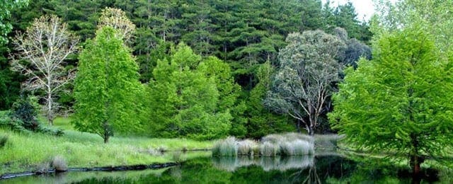
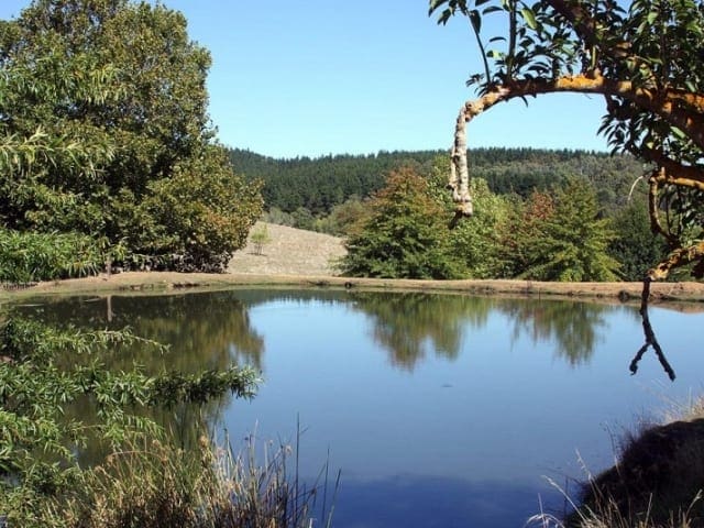
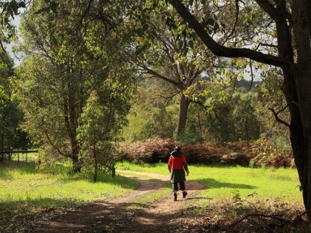
Starting from opposite the Greenbushes Discovery Centre the 3km Mining Heritage Walk loops around the edge of town. Featuring an old mining tunnel and hand-dug shafts and trenches, the trail explores the rich history of tin mining in the Greenbushes area starting in 1886.
The trails leads past the local courthouse and goal. One can view old mine shafts used from the 1900's to the 1940's. Miners used a variety of winch mechanisms and buckets to haul ore from as deep as 10 metres below the surface cap rock.The trail is marked by a triangular badge featuring a miner's safety haRoad hat and crossed pick and shovel. Greenbushes is located 250km south of Perth and is the northern gateway to the Warren Blackwood region. Greenbushes was founded in 1888 with the discovery of tin suitable for mining. Nowadays mining in the town produces tantiline concentrates, lithium minerals, tin metal and kaolin. The township was named after the bright green bushes that contrast with the grey eucalyptus trees. Greenbushes abounds in natural and pioneering heritage, with many features of interest scattered throughout the forest surrounds of the township. Greenbushes is on the edge of the Darling Scarp, 342.8m above sea level.There are views of the surrounding hills from various high points in town. From the mine lookout one can see the Talison Minerals Cornwall Pit.
Start Point: Opposite the Greenbushes Discovery Centre at the Heritage Park on Blackwood Road, Greenbushes. 250km (3 hours) south ofPerth
End Point: Opposite the Greenbushes Discovery Centre at the Heritage Park on Blackwood Road, Greenbushes. 250km (3 hours) south ofPerth
Region: Greenbushes, South West
For more information, a location map and GPS file please visit Trails WA.
Got some great shots from this hike? Upload your photos here to inspire others and show off the beauty of the trail!
Submitting your photos doesn’t mean you lose ownership. You can be credited for your contributions, and you can request removal at any time.
Please don’t copy GPX files or content from this site to AllTrails or other platforms. Each trail has been personally mapped, documented, and refined to support Australia’s bushwalking and hiking community. While some details come from land managers, every listing reflects significant personal effort. This is a free, community-driven initiative—your respect helps keep it that way.
It looks like I don’t have a GPX file for this trail yet. If you have one to share, please email it to me! I’ll verify it against official maps before adding it to help other hikers have a safer, easier experience. Thanks for contributing to a better hiking resource.
Getting there
Getting to the trailhead: Greenbushes Heritage Park.
Closest towns to this walk: Balingup, Boyup Brook, Bridgetown, Donnybrook, Greenbushes, Nannup
About the region
Greenbushes is a small historic town which is economically driven by a combination of mining, timber, tourism and farming. The main appeal of the town lies in its huge open cut mine which can be viewed from a lookout. There are also a number of interesting walks in the district and an impressive Discovery Centre where visitors can learn about the interesting and unusual history of the town.
Similar walks nearby
Looking for more walks in or near Greenbushes Heritage Park? Try these trails with a similar difficulty grade.
Favourite

Favourite

Favourite

Favourite

Track grade
Grade 1 (All-abilities) - Perfect for Families and Beginners: Grade 1 on the
AWTGS represents the easiest walking tracks, perfect for families with young children or those new to bushwalking. No prior experience is required. These gentle walks feature a flat, even surface with no steps or steep sections. They are suitable for wheelchair users with assistance due to the even terrain. The total distance of a Grade 1 walk is typically no greater than 5 kilometers, making them a comfortable and manageable option for all ages and fitness levels.
Explore safe
Plan ahead and hike safely! Carry enough water, pack layers for changing conditions, and bring safety gear like a torch, PLB, and reliable communication device. Check official sources for trail updates, closures, and access requirements, and review local weather and bushfire advice. Most importantly, share your plans with someone before you go. Being prepared makes for a safer and more enjoyable hike! Stay Safe, Explore More, and Always #ExploreSafe.
Packing checklists
What you carry in your pack depends on factors like weather, terrain, and your adventure type. Not sure what to bring? My free planning, food, and packing checklists are a great starting point, covering day hikes, overnight trips, and multi-day adventures. Use them to customise your kit and always prioritise safety.
Let someone know
Before heading out, take a moment to fill out your trip intentions form. It’s a quick way to share your hike details with family or friends. If something goes wrong, they can notify emergency services, ensuring a faster response and peace of mind. Stay safe and enjoy your adventure
Suggest an edit
Spotted a change on this trail? Maybe there are new features, the route has shifted, or the trail is permanently closed. Whatever the update, I’d love your input. Your feedback helps fellow hikers stay informed and ensures that our trail info stays fresh and reliable.


